
Gürbe–Sense
Gürbe–Sense Cycle Route
A collection of 3 cycling routes.
Overview
About this collection
A scenic link between the Gürbe valley south of Bern and the Sense valley on the Bern–Fribourg border. Expect rolling farmland, riverbanks, and, on clear days, glimpses toward the Bernese Alps.
Riding is mostly on asphalt and quiet country roads, with several stretches on gravel and farm tracks and a touch of cobbles. There are a few short busy‑road connectors and brief town sections. It’s not flat, but the climbs are steady rather than brutal.
Best on a gravel bike or a road bike with wider tires. Ride it in either direction or just sample a section—there are plenty of spots to hop on and off. Look out for farm traffic, loose gravel, and pedestrians on shared paths. Rivers and meadows make easy pause points, and small villages along the way are perfect for a quick bakery stop.
A relaxed, varied day out that links two classic Swiss river landscapes without straying far from Bern.
- 3
- Routes
- -:--
- Duration
- 80.5 km
- Distance
- ---
- Avg. speed
- 618 m
- Ascent
- 815 m
- Descent
Gürbe–Sense Cycle Route
Routes in this collection
All 3 routes in this collection can be opened on the map or in the Bikemap App for more details, where you can adjust them in the route planner, or download them as GPX or KML file. Use them as a template for planning your own rides, or let Bikemap navigate you along them directly.

Gürbe–Sense – Etappe 1: Blumenstein–Bern
Cycling route in Blumenstein, Canton of Bern, Switzerland
- 45.2 km
- Distance
- 268 m
- Ascent
- 436 m
- Descent

Gürbe–Sense – Etappe 2: Bern–Mühleberg
Cycling route in Bern, Canton of Bern, Switzerland
- 33.1 km
- Distance
- 299 m
- Ascent
- 344 m
- Descent
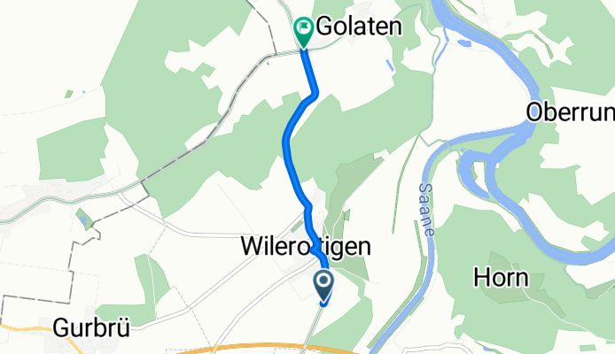
Gürbe–Sense - Etappe 2
Cycling route in Mühleberg, Canton of Bern, Switzerland
- 2.2 km
- Distance
- 52 m
- Ascent
- 35 m
- Descent