
Turiststråket – cykelleder
A collection of 6 cycling routes.Discover the Tourist Route by bike – a collection of rides that connect pleasant stops via bike paths, trails, and quiet country roads. The surface is mostly asphalt and other paved areas, but expect sections of gravel (including loose gravel), some cobblestone/pebble stone, and shorter stretches on simpler trails. Traffic is usually calm, with occasional short sections on busier roads.
This is perfect for relaxed trips, sightseeing on two wheels, or a weekend ride with a coffee break. Some sections can be hilly or a bit narrower, so take it at your own pace.
Bike choice: gravel, hybrid, or touring bike is spot on. Road bikes work too if you run slightly wider tires and don't mind gravel sections.
Tips:
- You can hop on the routes anywhere – start and finish are flexible.
- Keep speed and distance where you share the route with pedestrians.
- Bring lights and a bell, especially if you ride in the evening or through parks.
In short: mostly easy to cycle, with just the right variety to keep the ride enjoyable.
- 6
- Routes
- -:--
- Duration
- 114.8 km
- Distance
- ---
- Avg. speed
- 1,118 m
- Ascent
- 1,257 m
- Descent

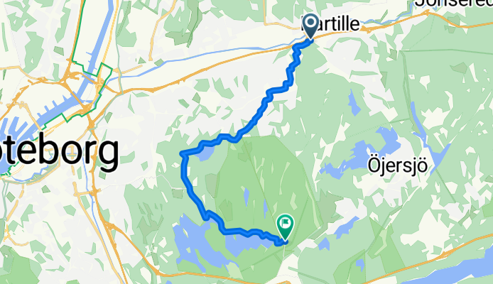
Cycling route in Öjersjö, Västra Götaland County, Sweden
- 72.6 km
- Distance
- 742 m
- Ascent
- 806 m
- Descent
Cycling route in Partille, Västra Götaland County, Sweden
- 11.5 km
- Distance
- 143 m
- Ascent
- 80 m
- Descent

Cycling route in Majorna, Västra Götaland County, Sweden
- 9.8 km
- Distance
- 57 m
- Ascent
- 132 m
- Descent

Cycling route in Majorna, Västra Götaland County, Sweden
- 12.5 km
- Distance
- 81 m
- Ascent
- 138 m
- Descent

- 5 km
- Distance
- 38 m
- Ascent
- 62 m
- Descent

- 3.4 km
- Distance
- 58 m
- Ascent
- 40 m
- Descent