Coulsdon - Espéraza
A cycling tour with 13 stages, starting in Coulsdon, England, United Kingdom.
Overview
About this tour
This cycling tour has 13 stages and a total length of 1,201 km.
- 13
- Routes
- 67 h 8 min
- Duration
- 1,201 km
- Distance
- 17.9 km/h
- Avg. speed
- 9,700 m
- Ascent
- 9,547 m
- Descent
Coulsdon - Espéraza
Stages of this tour
All 13 stages of this tour can be opened on the map or in the Bikemap App for more details, where you can adjust them in the route planner or download them as GPX or KML file. Use them as a template for planning your own tour, or let Bikemap navigate you along them directly.
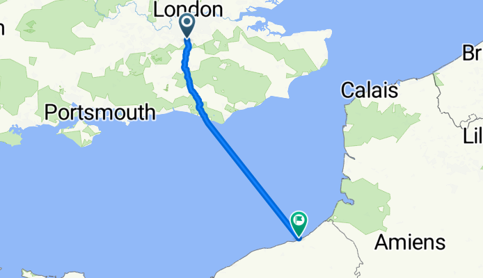
Coulsdon - Dieppe
Cycling route in Coulsdon, England, United Kingdom
- 193.3 km
- Distance
- 738 m
- Ascent
- 809 m
- Descent
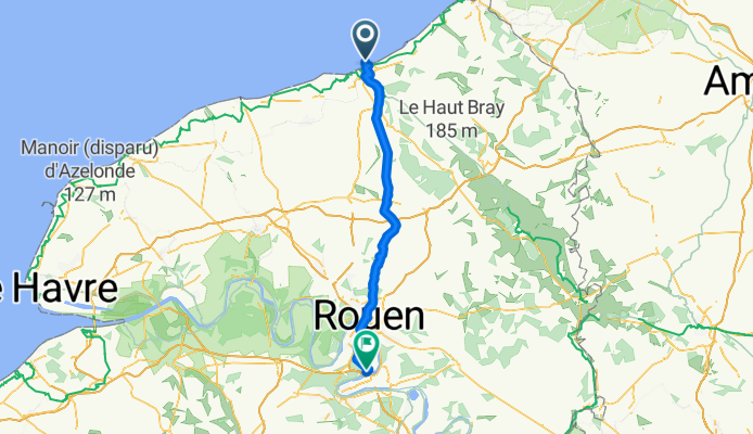
Oissel - Verneuil-sur-Avre
Cycling route in Oissel, Normandy, France
- 89.1 km
- Distance
- 425 m
- Ascent
- 270 m
- Descent
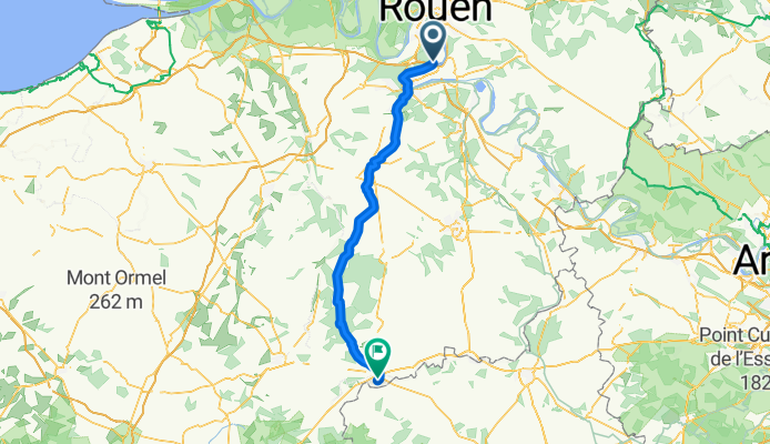
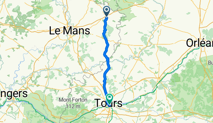
Verneuil-sur-Avre - Cherré
Cycling route in Verneuil-sur-Avre, Normandy, France
- 84.4 km
- Distance
- 629 m
- Ascent
- 705 m
- Descent
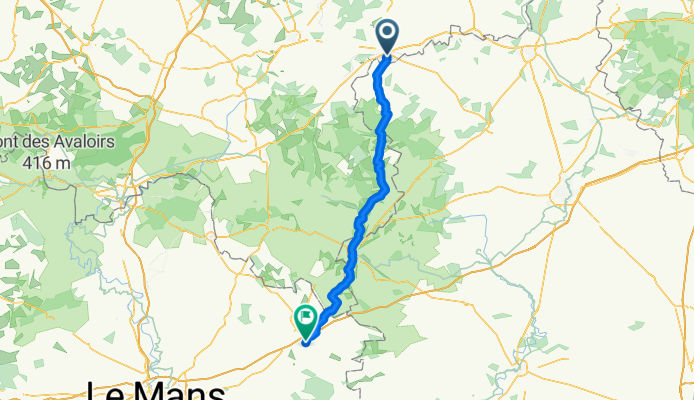
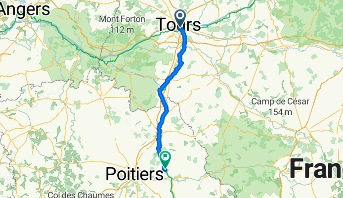
Cherré - Tours
Cycling route in Cherré, Pays de la Loire Region, France
- 96.6 km
- Distance
- 686 m
- Ascent
- 740 m
- Descent
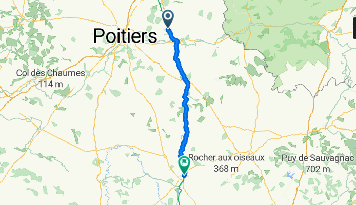
Bonnes - Confolens
Cycling route in Bonnes, Aquitaine-Limousin-Poitou-Charentes, France
- 77.6 km
- Distance
- 642 m
- Ascent
- 611 m
- Descent
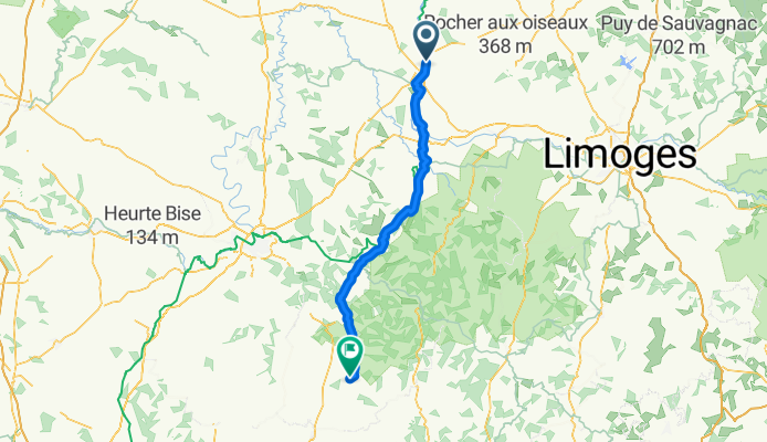
Confolens - Mareuil
Cycling route in Confolens, Aquitaine-Limousin-Poitou-Charentes, France
- 95.9 km
- Distance
- 1,131 m
- Ascent
- 1,129 m
- Descent
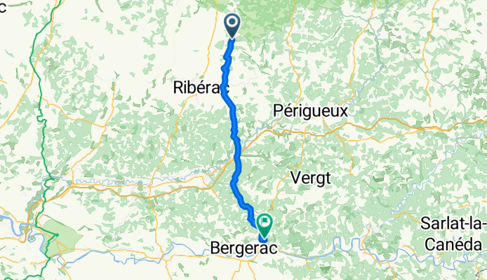
Mareuil - Creysse
Cycling route in Mareuil, Aquitaine-Limousin-Poitou-Charentes, France
- 67.9 km
- Distance
- 903 m
- Ascent
- 935 m
- Descent
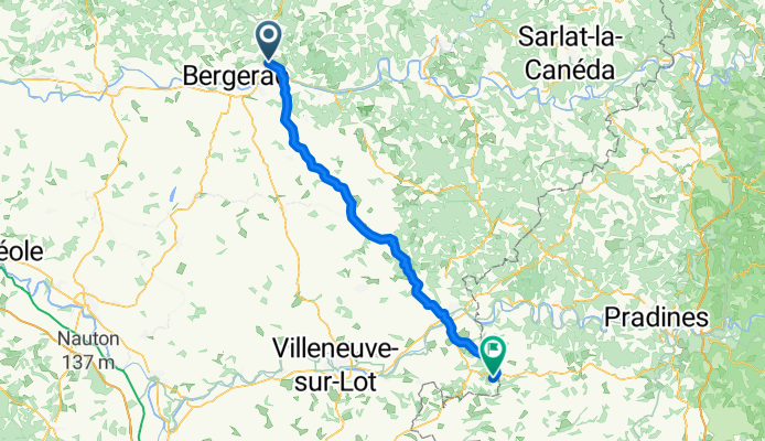
Creysse - Montaigu-de-Quercy
Cycling route in Creysse, Aquitaine-Limousin-Poitou-Charentes, France
- 80.4 km
- Distance
- 976 m
- Ascent
- 825 m
- Descent
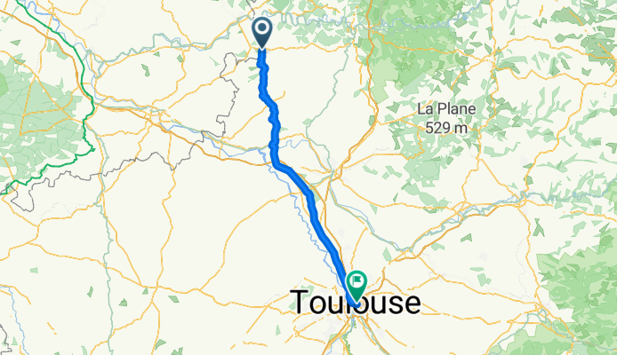
Montaigu-de-Quercy - Toulouse
Cycling route in Montaigu-de-Quercy, Languedoc-Roussillon-Midi-Pyrénées, France
- 106.9 km
- Distance
- 786 m
- Ascent
- 891 m
- Descent
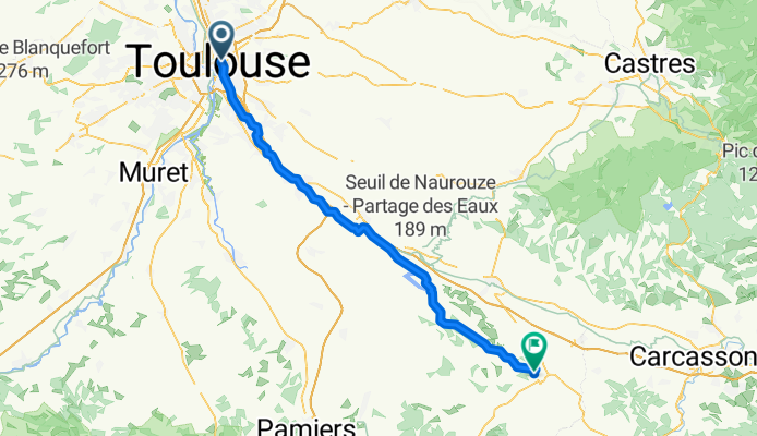
Toulouse - Bram
Cycling route in Toulouse, Languedoc-Roussillon-Midi-Pyrénées, France
- 77.4 km
- Distance
- 651 m
- Ascent
- 541 m
- Descent

