
Montpellier - Brecht
A cycling tour with 16 stages, starting in Montpellier, Occitanie, France.
Overview
About this tour
This cycling tour has 16 stages and a total length of 1,387.5 km.
- 16
- Routes
- 85 h 30 min
- Duration
- 1,387.5 km
- Distance
- 16.2 km/h
- Avg. speed
- 13,688 m
- Ascent
- 13,697 m
- Descent
created this 7 months ago
Montpellier - Brecht
Stages of this tour
All 16 stages of this tour can be opened on the map or in the Bikemap App for more details, where you can adjust them in the route planner or download them as GPX or KML file. Use them as a template for planning your own tour, or let Bikemap navigate you along them directly.

Montpellier - Alès
Cycling route in Montpellier, Occitanie, France
- 92 km
- Distance
- 521 m
- Ascent
- 427 m
- Descent

Alès - Branoux-les-Taillades
Cycling route in Alès, Occitanie, France
- 42 km
- Distance
- 2,568 m
- Ascent
- 1,868 m
- Descent

Branoux-les-Taillades - Langogne
Cycling route in Branoux-les-Taillades, Occitanie, France
- 67.7 km
- Distance
- 2,299 m
- Ascent
- 1,991 m
- Descent

Langogne - Vieille-Brioude
Cycling route in Langogne, Occitanie, France
- 98.9 km
- Distance
- 2,001 m
- Ascent
- 2,700 m
- Descent

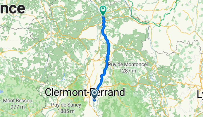
Vieille-Brioude - Saint-Georges-sur-Allier
Cycling route in Vieille-Brioude, Auvergne-Rhône-Alpes, France
- 70.6 km
- Distance
- 699 m
- Ascent
- 809 m
- Descent
Saint-Georges-sur-Allier - Toulon-sur-Allier
Cycling route in Saint-Georges-sur-Allier, Auvergne-Rhône-Alpes, France
- 119.1 km
- Distance
- 503 m
- Ascent
- 622 m
- Descent

Toulon-sur-Allier - Moulins-Engilbert
Cycling route in Toulon-sur-Allier, Auvergne-Rhône-Alpes, France
- 76.1 km
- Distance
- 401 m
- Ascent
- 410 m
- Descent

Moulins-Engilbert - Clamecy
Cycling route in Moulins-Engilbert, Bourgogne-Franche-Comté, France
- 92.6 km
- Distance
- 637 m
- Ascent
- 696 m
- Descent

Clamecy - Vergigny
Cycling route in Clamecy, Bourgogne-Franche-Comté, France
- 100.6 km
- Distance
- 230 m
- Ascent
- 279 m
- Descent

Vergigny - Méry-sur-Seine
Cycling route in Vergigny, Bourgogne-Franche-Comté, France
- 91.3 km
- Distance
- 433 m
- Ascent
- 446 m
- Descent

Méry-sur-Seine - Sillery
Cycling route in Méry-sur-Seine, Grand Est, France
- 109.3 km
- Distance
- 526 m
- Ascent
- 516 m
- Descent
