
TOUR NORD IDF 2025
A cycling tour with 12 stages, starting in Vanves, Île-de-France Region, France.
Overview
About this tour
This cycling tour has 12 stages and a total length of 407.7 km.
- 12
- Routes
- 23 h 46 min
- Duration
- 407.7 km
- Distance
- 17.1 km/h
- Avg. speed
- 2,910 m
- Ascent
- 2,906 m
- Descent

TOUR NORD IDF 2025
Stages of this tour
All 12 stages of this tour can be opened on the map or in the Bikemap App for more details, where you can adjust them in the route planner or download them as GPX or KML file. Use them as a template for planning your own tour, or let Bikemap navigate you along them directly.
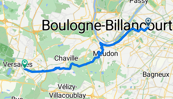
From Versailles to Rambouillet
Cycling route in Versailles, Île-de-France Region, France
- 39.7 km
- Distance
- 177 m
- Ascent
- 159 m
- Descent
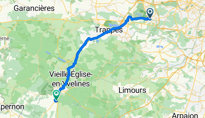
From Rambouillet to Béhoust
Cycling route in Rambouillet, Île-de-France Region, France
- 34.8 km
- Distance
- 298 m
- Ascent
- 318 m
- Descent
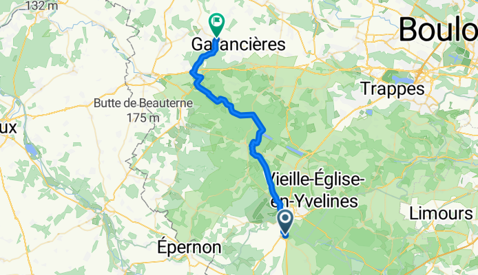
From Béhoust to Vernon
Cycling route in Orgerus, Île-de-France Region, France
- 48.5 km
- Distance
- 481 m
- Ascent
- 583 m
- Descent
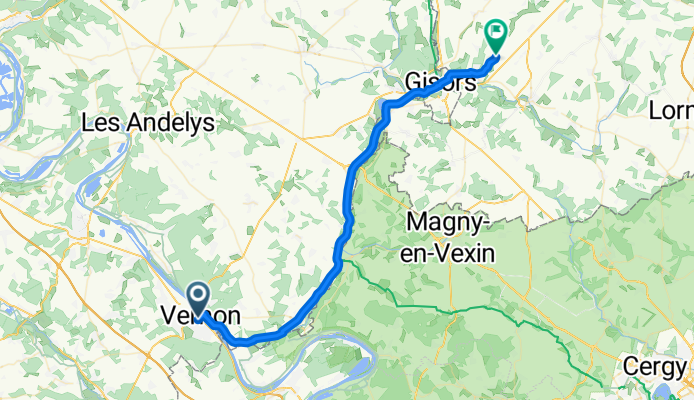
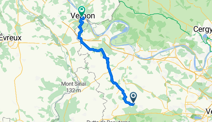
From Vernon to Énencourt-Léage
Cycling route in Vernon, Normandy, France
- 45.7 km
- Distance
- 219 m
- Ascent
- 172 m
- Descent
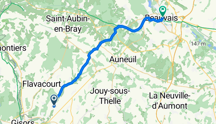
From Enencourt-Leage to Beauvais
Cycling route in Trie-Château, Hauts-de-France, France
- 27.8 km
- Distance
- 312 m
- Ascent
- 320 m
- Descent
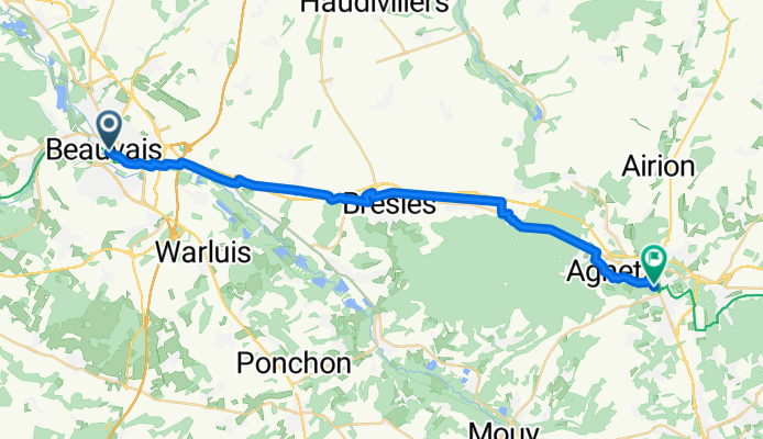
From Beauvais to Clermont
Cycling route in Beauvais, Hauts-de-France, France
- 28.1 km
- Distance
- 181 m
- Ascent
- 161 m
- Descent
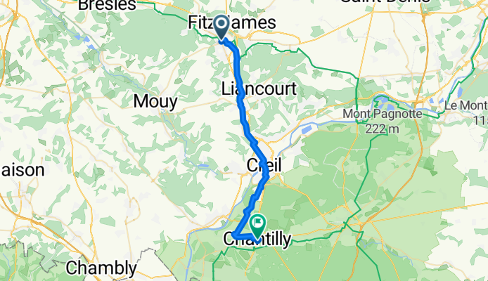
From Clermont to Chantilly
Cycling route in Clermont, Hauts-de-France, France
- 28.7 km
- Distance
- 167 m
- Ascent
- 204 m
- Descent
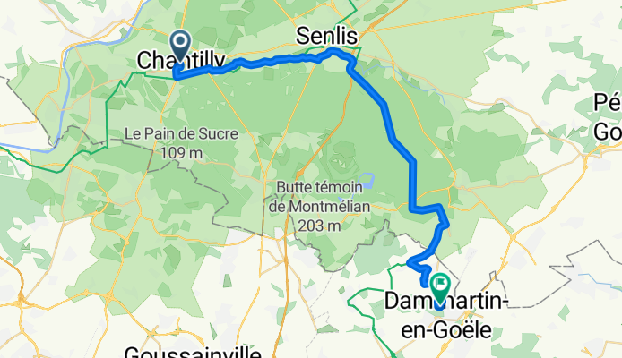
From Chantilly to Dammartin-en-Goële
Cycling route in Chantilly, Hauts-de-France, France
- 34.8 km
- Distance
- 178 m
- Ascent
- 110 m
- Descent
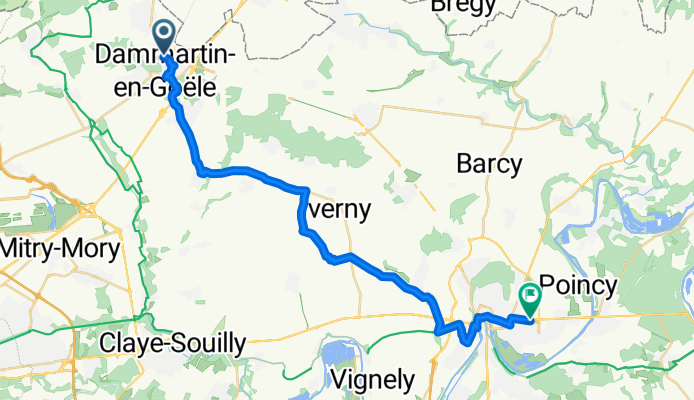
From Dammartin-en-Goële to Meaux
Cycling route in Dammartin-en-Goële, Île-de-France Region, France
- 28.5 km
- Distance
- 176 m
- Ascent
- 236 m
- Descent
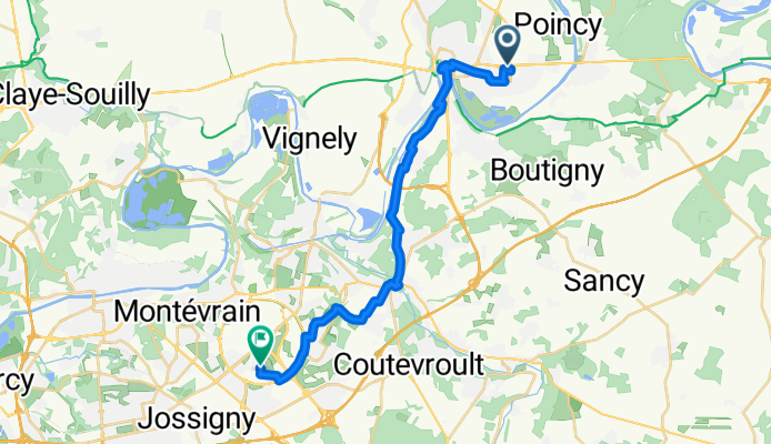
From Meaux to Serris
Cycling route in Meaux, Île-de-France Region, France
- 22.7 km
- Distance
- 235 m
- Ascent
- 173 m
- Descent
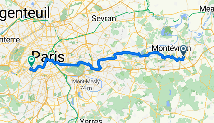
From Serris to Paris
Cycling route in Serris, Île-de-France Region, France
- 52.2 km
- Distance
- 229 m
- Ascent
- 305 m
- Descent