
Von Apetlon bis Saint-Jean-Pied-de-Port
A cycling tour with 17 stages, starting in Apetlon, Burgenland, Austria.
Overview
About this tour
This cycling tour has 17 stages and a total length of 2,057.6 km.
- 17
- Routes
- 116 h 47 min
- Duration
- 2,057.6 km
- Distance
- 17.6 km/h
- Avg. speed
- 18,282 m
- Ascent
- 18,235 m
- Descent

created this 3 months ago
Von Apetlon bis Saint-Jean-Pied-de-Port
Stages of this tour
All 17 stages of this tour can be opened on the map or in the Bikemap App for more details, where you can adjust them in the route planner or download them as GPX or KML file. Use them as a template for planning your own tour, or let Bikemap navigate you along them directly.
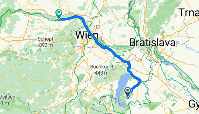
Tulln - Zeillern
Cycling route in Tulln, Lower Austria, Austria
- 123.3 km
- Distance
- 1,118 m
- Ascent
- 1,067 m
- Descent
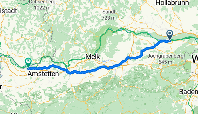
Zeillern - Ried im Innkreis
Cycling route in Zeillern, Lower Austria, Austria
- 120.6 km
- Distance
- 890 m
- Ascent
- 688 m
- Descent
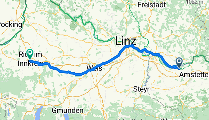
Ried im Innkreis - Fraunberg
Cycling route in Ried im Innkreis, Upper Austria, Austria
- 117.6 km
- Distance
- 842 m
- Ascent
- 749 m
- Descent
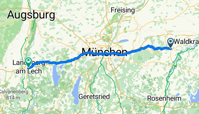
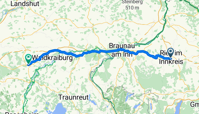
Fraunberg - Landsberg am Lech
Cycling route in Haag in Oberbayern, Bavaria, Germany
- 113.8 km
- Distance
- 801 m
- Ascent
- 743 m
- Descent
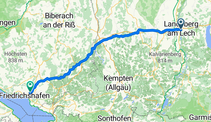
Landsberg am Lech - Meckenbeuren
Cycling route in Landsberg am Lech, Bavaria, Germany
- 133.6 km
- Distance
- 1,043 m
- Ascent
- 1,221 m
- Descent
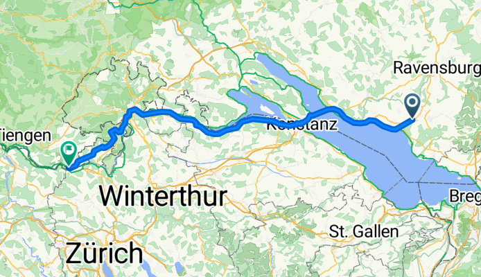
Meckenbeuren - Glattfelden
Cycling route in Meckenbeuren, Baden-Wurttemberg, Germany
- 108.3 km
- Distance
- 953 m
- Ascent
- 1,012 m
- Descent
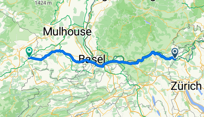
Glattfelden - Bourogne
Cycling route in Glattfelden, Canton of Zurich, Switzerland
- 138.4 km
- Distance
- 1,288 m
- Ascent
- 1,306 m
- Descent
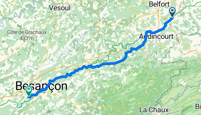
Bourogne - Montferrand-le-Château
Cycling route in Bourogne, Bourgogne-Franche-Comté, France
- 112.6 km
- Distance
- 1,301 m
- Ascent
- 1,386 m
- Descent
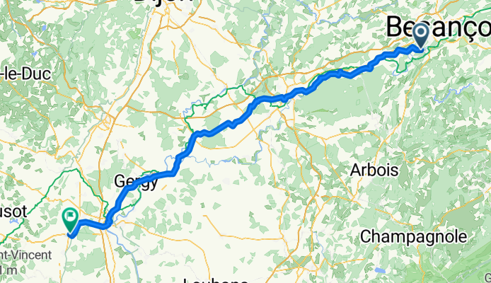
Montferrand-le-Château - Givry
Cycling route in Montferrand-le-Château, Bourgogne-Franche-Comté, France
- 130.6 km
- Distance
- 583 m
- Ascent
- 601 m
- Descent
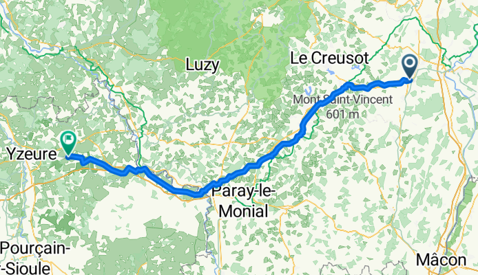
Givry - Lusigny
Cycling route in Givry, Bourgogne-Franche-Comté, France
- 124.7 km
- Distance
- 792 m
- Ascent
- 775 m
- Descent
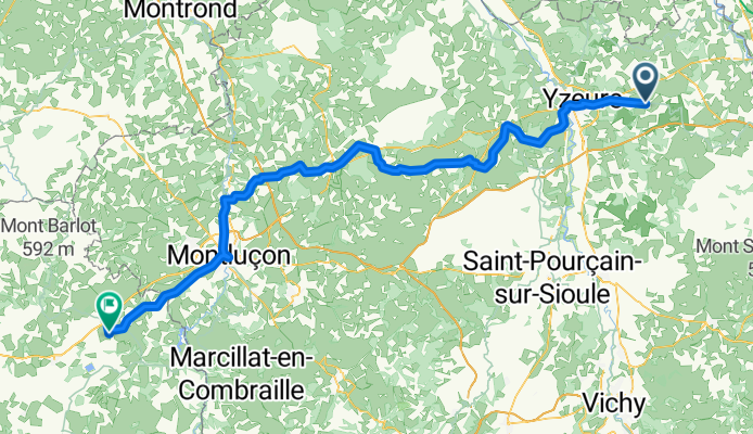
Lusigny - Chambon-sur-Voueize
Cycling route in Lusigny, Auvergne-Rhône-Alpes, France
- 128.4 km
- Distance
- 1,265 m
- Ascent
- 1,114 m
- Descent