
EV13-West
A cycling tour with 20 stages, starting in Horní Planá, Jihočeský kraj, Czechia.
Overview
About this tour
Entire Iron Curtain Trail along Austrian border, divided into 20 stages.
- 20
- Routes
- 56 h 48 min
- Duration
- 873.1 km
- Distance
- 15.4 km/h
- Avg. speed
- 8,927 m
- Ascent
- 9,534 m
- Descent

created this 3 months ago
EV13-West
Stages of this tour
All 20 stages of this tour can be opened on the map or in the Bikemap App for more details, where you can adjust them in the route planner or download them as GPX or KML file. Use them as a template for planning your own tour, or let Bikemap navigate you along them directly.
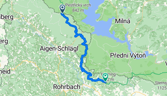
Horní Planá - Schlägl
Cycling route in Horní Planá, Jihočeský kraj, Czechia
- 28.9 km
- Distance
- 747 m
- Ascent
- 680 m
- Descent
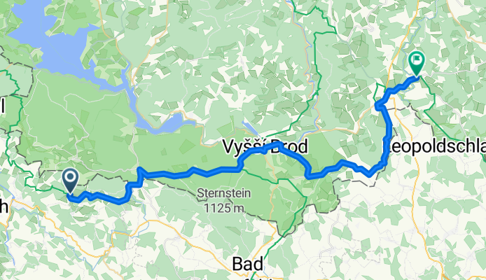
Schlägl - Dolní Dvořiště
Cycling route in Schlägl, Upper Austria, Austria
- 43.9 km
- Distance
- 816 m
- Ascent
- 1,106 m
- Descent
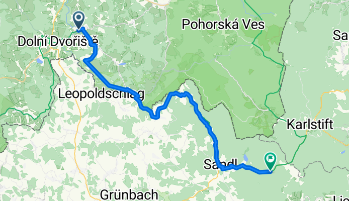
Dolní Dvořiště - Langschlag
Cycling route in Dolní Dvořiště, Jihočeský kraj, Czechia
- 30.4 km
- Distance
- 836 m
- Ascent
- 505 m
- Descent
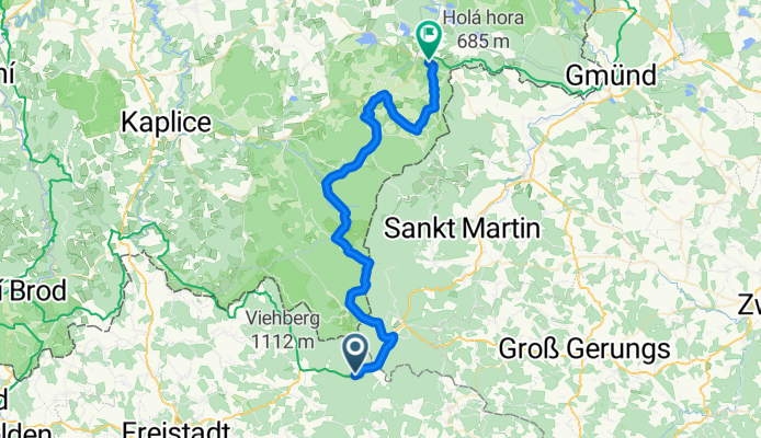
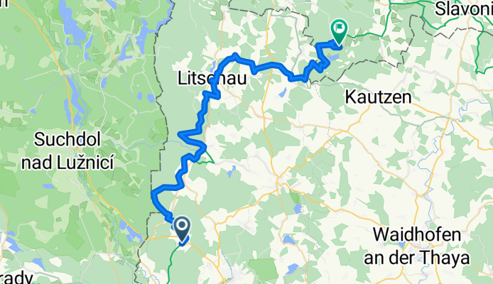
Langschlag - Nové Hrady
Cycling route in Langschlag, Lower Austria, Austria
- 45.5 km
- Distance
- 700 m
- Ascent
- 1,104 m
- Descent
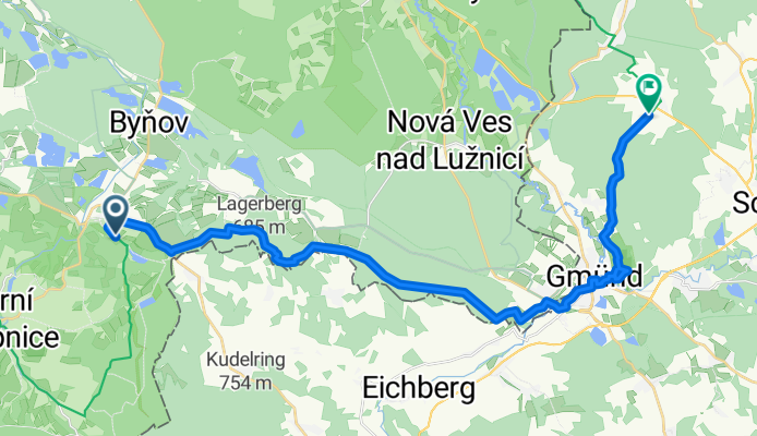
Nové Hrady - Schrems
Cycling route in Nové Hrady, Jihočeský kraj, Czechia
- 26.9 km
- Distance
- 382 m
- Ascent
- 365 m
- Descent
Schrems - Nová Bystřice
Cycling route in Schrems, Lower Austria, Austria
- 48.7 km
- Distance
- 700 m
- Ascent
- 613 m
- Descent
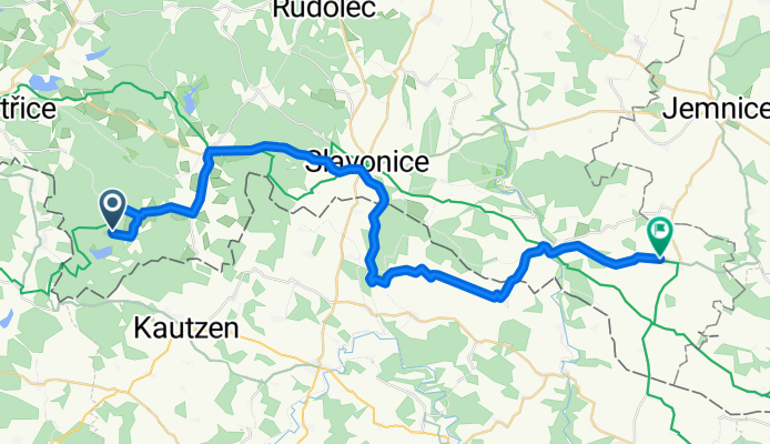
Nová Bystřice - Jemnice
Cycling route in Nová Bystřice, Jihočeský kraj, Czechia
- 41.2 km
- Distance
- 555 m
- Ascent
- 714 m
- Descent
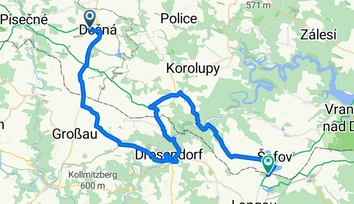
Jemnice - Blížkovice
Cycling route in Jemnice, Kraj Vysočina, Czechia
- 39.3 km
- Distance
- 453 m
- Ascent
- 491 m
- Descent
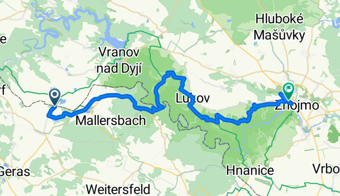
Blížkovice - Znojmo
Cycling route in Blížkovice, South Moravian, Czechia
- 41.8 km
- Distance
- 731 m
- Ascent
- 890 m
- Descent
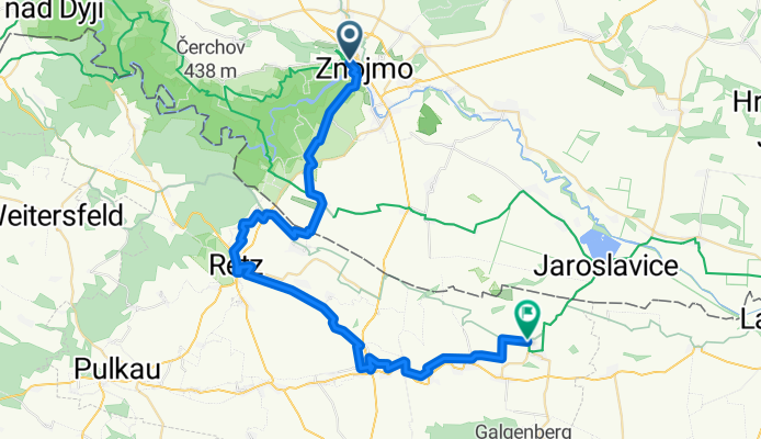
Znojmo - Hadres
Cycling route in Znojmo, South Moravian, Czechia
- 45.7 km
- Distance
- 367 m
- Ascent
- 455 m
- Descent
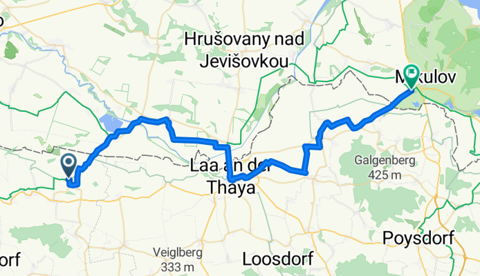
Hadres - Mikulov
Cycling route in Hadres, Lower Austria, Austria
- 50.7 km
- Distance
- 225 m
- Ascent
- 218 m
- Descent
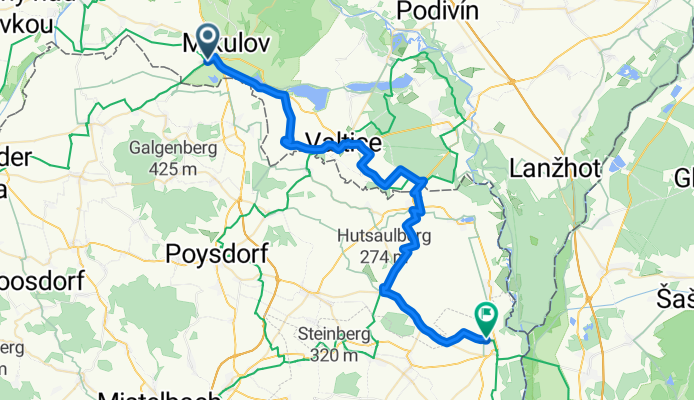
Mikulov - Rabensburg
Cycling route in Mikulov, South Moravian, Czechia
- 46.3 km
- Distance
- 372 m
- Ascent
- 419 m
- Descent