
Von Buxtehude bis Scharnitz
A cycling tour with 17 stages, starting in Buxtehude, Lower Saxony, Germany.
Overview
About this tour
This cycling tour has 17 stages and a total length of 945.8 km.
- 17
- Routes
- 54 h 35 min
- Duration
- 945.8 km
- Distance
- 17.3 km/h
- Avg. speed
- 7,372 m
- Ascent
- 6,409 m
- Descent

created this 5 months ago
Von Buxtehude bis Scharnitz
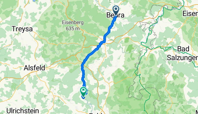
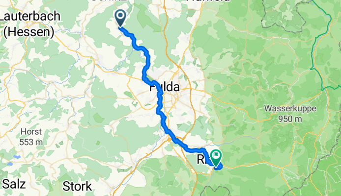
Stages of this tour
All 17 stages of this tour can be opened on the map or in the Bikemap App for more details, where you can adjust them in the route planner or download them as GPX or KML file. Use them as a template for planning your own tour, or let Bikemap navigate you along them directly.
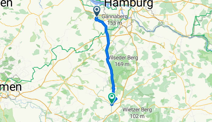
Buxtehude - Soltau
Cycling route in Buxtehude, Lower Saxony, Germany
- 64.4 km
- Distance
- 318 m
- Ascent
- 263 m
- Descent
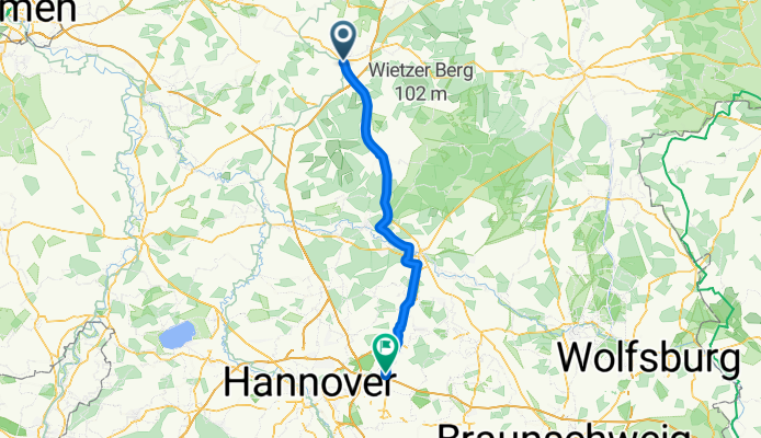
Lehrte - Bad Salzdetfurth
Cycling route in Lehrte, Lower Saxony, Germany
- 45.2 km
- Distance
- 157 m
- Ascent
- 115 m
- Descent
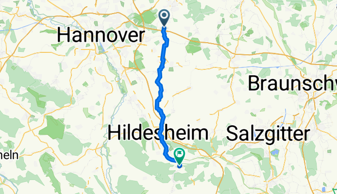
Bad Salzdetfurth - Northeim
Cycling route in Bad Salzdetfurth, Lower Saxony, Germany
- 56.7 km
- Distance
- 559 m
- Ascent
- 529 m
- Descent
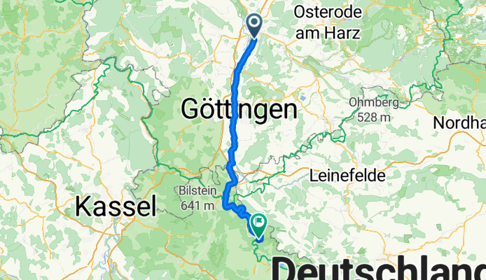
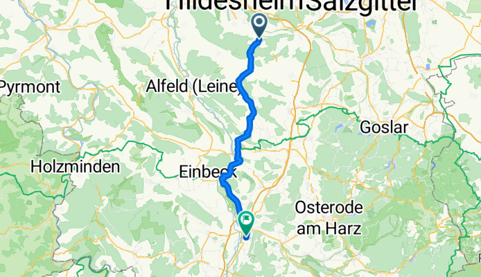
Northeim - Bad Sooden-Allendorf
Cycling route in Northeim, Lower Saxony, Germany
- 68 km
- Distance
- 435 m
- Ascent
- 415 m
- Descent
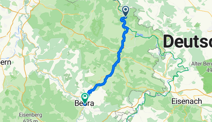
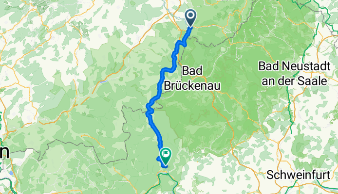
Bad Sooden-Allendorf - Bebra
Cycling route in Bad Sooden-Allendorf, Hesse, Germany
- 47.7 km
- Distance
- 640 m
- Ascent
- 595 m
- Descent
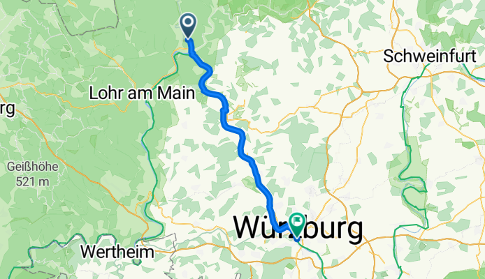
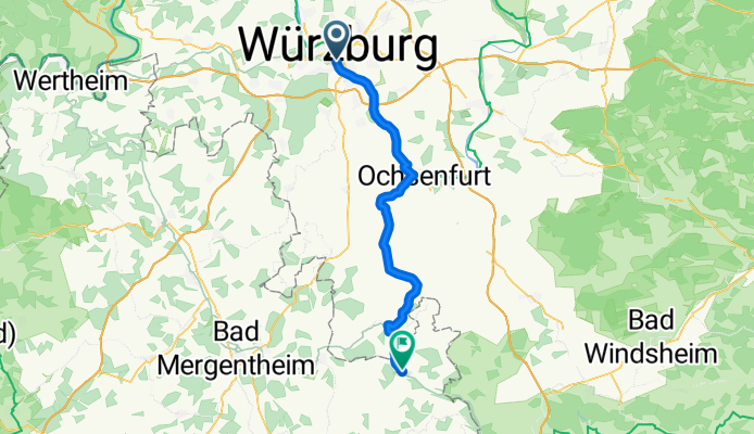
Würzburg - Creglingen
Cycling route in Würzburg, Bavaria, Germany
- 47.3 km
- Distance
- 338 m
- Ascent
- 239 m
- Descent
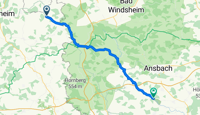
Creglingen - Burgoberbach
Cycling route in Creglingen, Baden-Wurttemberg, Germany
- 59.5 km
- Distance
- 754 m
- Ascent
- 608 m
- Descent