From Trondheim to Brønnøysund
A cycling tour with 13 stages, starting in Trondheim, Sør-Trøndelag Fylke, Norway.
Overview
About this tour
This cycling tour has 13 stages and a total length of 442.9 km.
- 13
- Routes
- 28 h 36 min
- Duration
- 442.9 km
- Distance
- 15.5 km/h
- Avg. speed
- 6,693 m
- Ascent
- 6,522 m
- Descent
created this 3 months ago
From Trondheim to Brønnøysund
Stages of this tour
All 13 stages of this tour can be opened on the map or in the Bikemap App for more details, where you can adjust them in the route planner or download them as GPX or KML file. Use them as a template for planning your own tour, or let Bikemap navigate you along them directly.
Trondheim - Stjørdalshalsen
Cycling route in Trondheim, Sør-Trøndelag Fylke, Norway
- 36.2 km
- Distance
- 527 m
- Ascent
- 522 m
- Descent
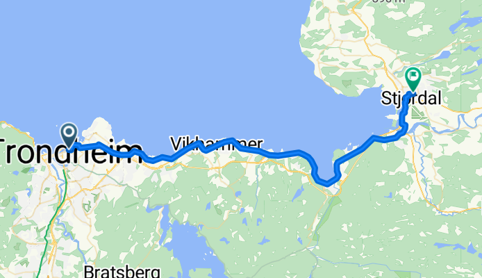
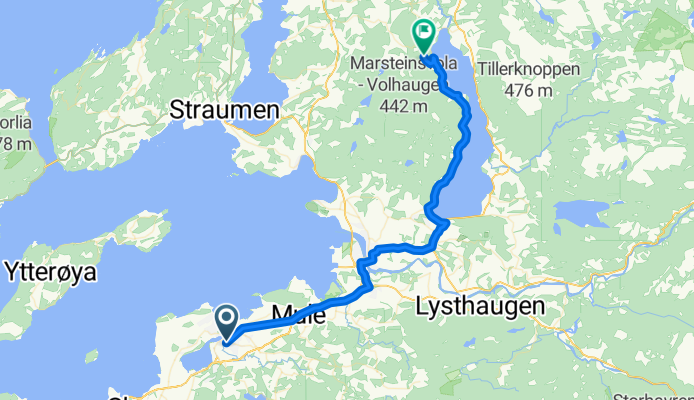
Stjørdalshalsen - Stjørdalshalsen
Cycling route in Stjørdalshalsen, Nord-Trøndelag Fylke, Norway
- 19.6 km
- Distance
- 470 m
- Ascent
- 218 m
- Descent
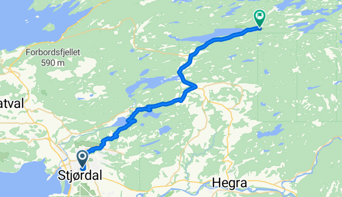
Stjørdalshalsen - Levanger
Cycling route in Stjørdalshalsen, Nord-Trøndelag Fylke, Norway
- 38.1 km
- Distance
- 605 m
- Ascent
- 847 m
- Descent
Levanger - Verdal
Cycling route in Levanger, Nord-Trøndelag Fylke, Norway
- 33.1 km
- Distance
- 315 m
- Ascent
- 214 m
- Descent
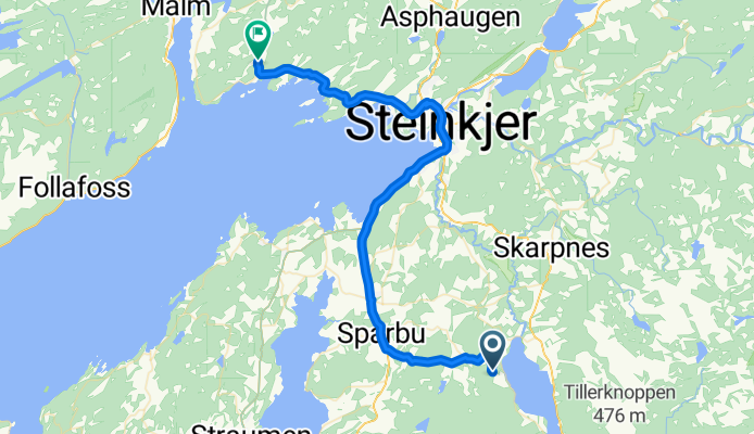
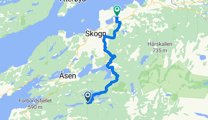
Verdal - Malm
Cycling route in Verdal, Nord-Trøndelag Fylke, Norway
- 34.5 km
- Distance
- 438 m
- Ascent
- 480 m
- Descent
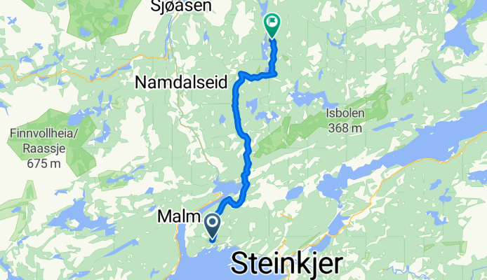
Malm - Namdalseid
Cycling route in Malm, Nord-Trøndelag Fylke, Norway
- 36 km
- Distance
- 551 m
- Ascent
- 504 m
- Descent
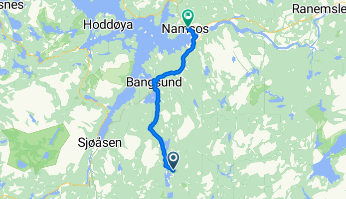
Namdalseid - Namsos
Cycling route in Namdalseid, Nord-Trøndelag Fylke, Norway
- 30.3 km
- Distance
- 336 m
- Ascent
- 464 m
- Descent
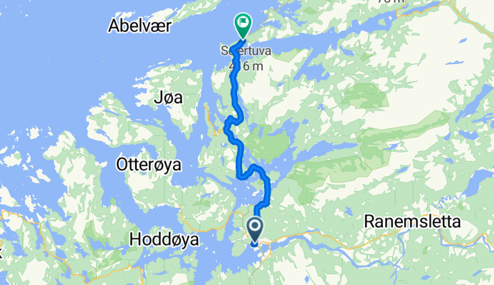
Namsos - Jøa
Cycling route in Namsos, Nord-Trøndelag Fylke, Norway
- 40.8 km
- Distance
- 884 m
- Ascent
- 830 m
- Descent
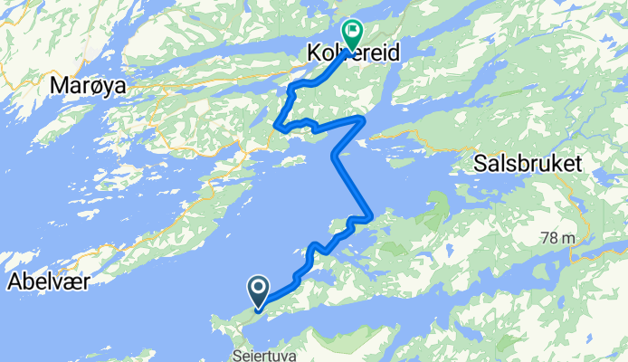
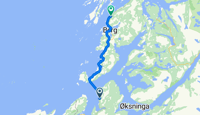
Jøa - Kolvereid
Cycling route in Jøa, Nord-Trøndelag Fylke, Norway
- 33.6 km
- Distance
- 423 m
- Ascent
- 422 m
- Descent
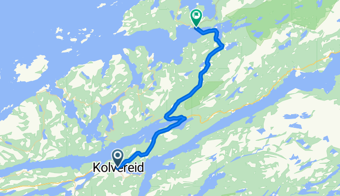
Kolvereid - Leknes
Cycling route in Kolvereid, Nord-Trøndelag Fylke, Norway
- 24 km
- Distance
- 440 m
- Ascent
- 493 m
- Descent
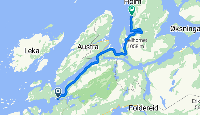
Leknes - Terråk
Cycling route in Leknes, Nord-Trøndelag Fylke, Norway
- 37.7 km
- Distance
- 877 m
- Ascent
- 874 m
- Descent