A: Bordeaux to Matt and Gill
A cycling tour with 12 stages, starting in Le Haillan, Nouvelle-Aquitaine, France.
Overview
About this tour
This cycling tour has 12 stages and a total length of 1,456.7 km.
- 12
- Routes
- 97 h 2 min
- Duration
- 1,456.7 km
- Distance
- 15 km/h
- Avg. speed
- 22,016 m
- Ascent
- 21,402 m
- Descent
A: Bordeaux to Matt and Gill
Stages of this tour
All 12 stages of this tour can be opened on the map or in the Bikemap App for more details, where you can adjust them in the route planner or download them as GPX or KML file. Use them as a template for planning your own tour, or let Bikemap navigate you along them directly.
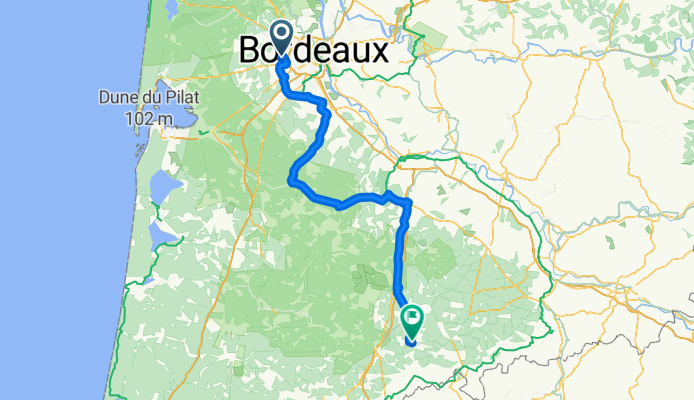
1 - Le Haillan - Sarbazan
Cycling route in Le Haillan, Nouvelle-Aquitaine, France
- 148.9 km
- Distance
- 646 m
- Ascent
- 583 m
- Descent
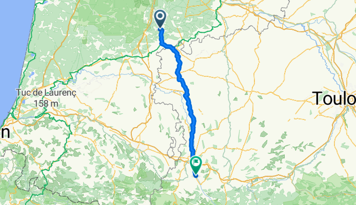
2 - Sarbazan - Pouzac
Cycling route in Sarbazan, Nouvelle-Aquitaine, France
- 133.8 km
- Distance
- 1,157 m
- Ascent
- 839 m
- Descent
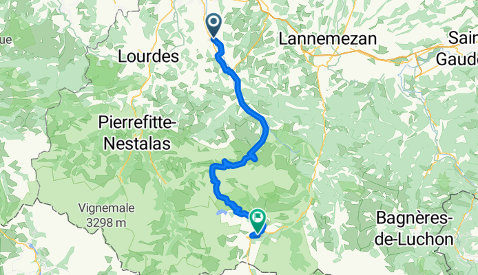
3 - Pouzac - Saint-Lary-Soulan
Cycling route in Pouzac, Occitanie, France
- 76.6 km
- Distance
- 3,806 m
- Ascent
- 2,831 m
- Descent
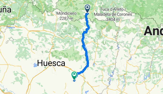
4 - Saint-Lary-Soulan - Berbegal
Cycling route in Saint-Lary-Soulan, Occitanie, France
- 134.1 km
- Distance
- 2,929 m
- Ascent
- 3,885 m
- Descent
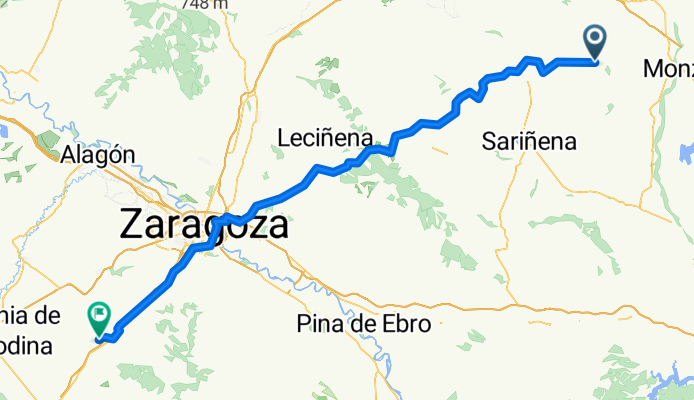
5 - Berbegal - Muel
Cycling route in Berbegal, Aragon, Spain
- 137.9 km
- Distance
- 1,242 m
- Ascent
- 1,245 m
- Descent
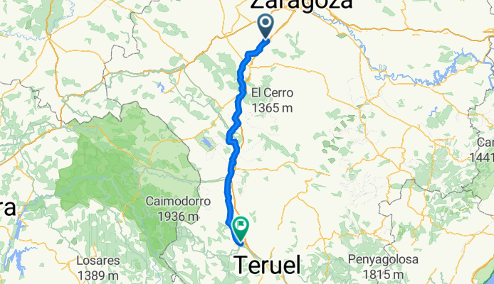
7 - Cella - Caudete de las Fuentes
Cycling route in Cella, Aragon, Spain
- 123.9 km
- Distance
- 2,119 m
- Ascent
- 2,325 m
- Descent
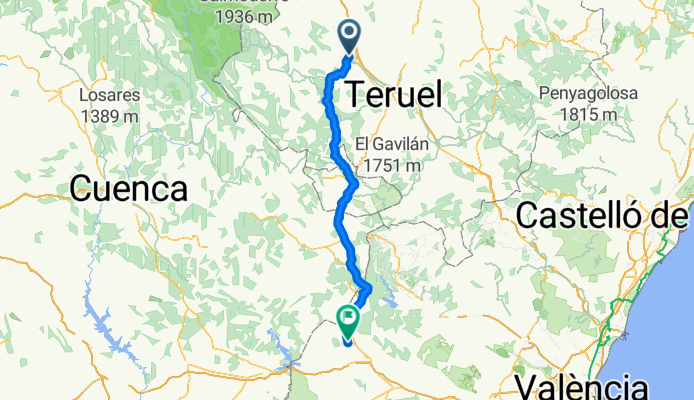
8 - Caudete de las Fuentes - Balazote
Cycling route in Caudete de las Fuentes, Valencia, Spain
- 141.3 km
- Distance
- 1,512 m
- Ascent
- 1,544 m
- Descent
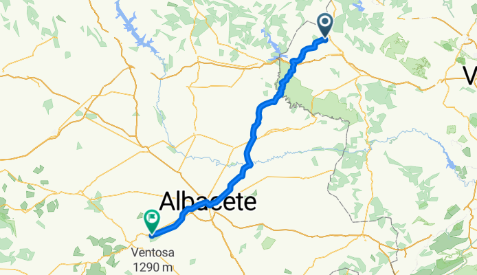
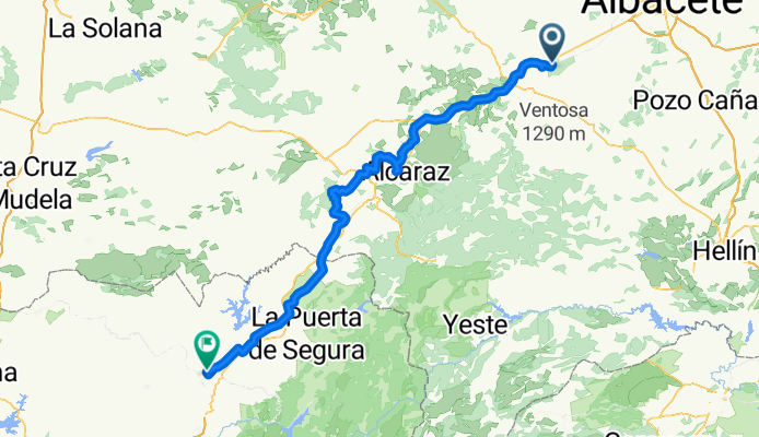
9 - Balazote - Chiclana de Segura
Cycling route in Balazote, Castille-La Mancha, Spain
- 136.4 km
- Distance
- 1,652 m
- Ascent
- 1,911 m
- Descent
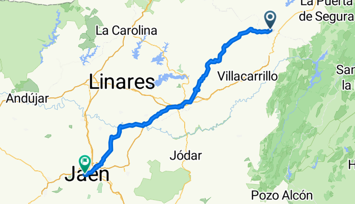
10 - Chiclana de Segura - Jaén
Cycling route in Chiclana de Segura, Andalusia, Spain
- 120.6 km
- Distance
- 2,023 m
- Ascent
- 2,021 m
- Descent
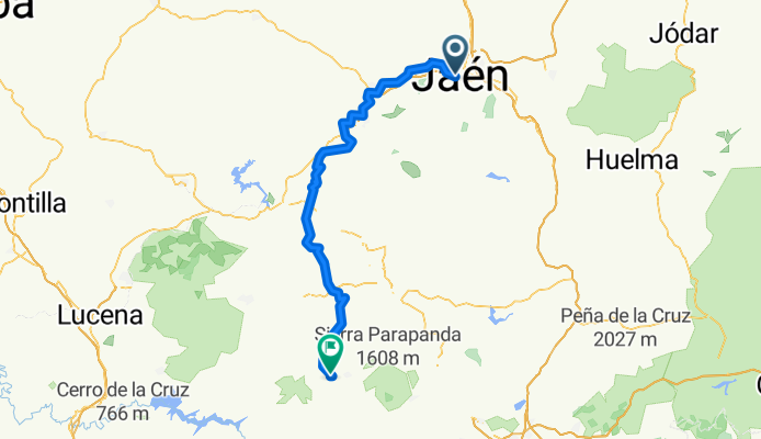
11 - Jaén - Montefrío
Cycling route in Jaén, Andalusia, Spain
- 117.3 km
- Distance
- 2,505 m
- Ascent
- 2,309 m
- Descent
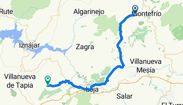
12 - Montefrío - Villanueva de Tapia
Cycling route in Montefrío, Andalusia, Spain
- 40 km
- Distance
- 821 m
- Ascent
- 851 m
- Descent
