From Schiphol to Donaueschingen
A cycling tour with 15 stages, starting in Hoofddorp, North Holland, The Netherlands.
Overview
About this tour
This cycling tour has 15 stages and a total length of 824.3 km.
- 15
- Routes
- 47 h 59 min
- Duration
- 824.3 km
- Distance
- 17.2 km/h
- Avg. speed
- 6,632 m
- Ascent
- 5,957 m
- Descent

From Schiphol to Donaueschingen
Stages of this tour
All 15 stages of this tour can be opened on the map or in the Bikemap App for more details, where you can adjust them in the route planner or download them as GPX or KML file. Use them as a template for planning your own tour, or let Bikemap navigate you along them directly.
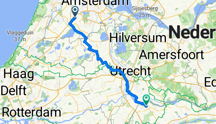
Hoofddorp - Culemborg
Cycling route in Hoofddorp, North Holland, The Netherlands
- 68.4 km
- Distance
- 63 m
- Ascent
- 63 m
- Descent
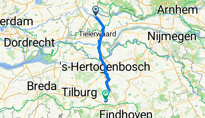
Culemborg - Oirschot
Cycling route in Culemborg, Gelderland, The Netherlands
- 59.5 km
- Distance
- 67 m
- Ascent
- 61 m
- Descent
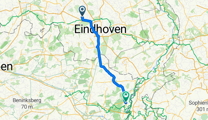
Oirschot - Maasmechelen
Cycling route in Oirschot, North Brabant, The Netherlands
- 74.7 km
- Distance
- 105 m
- Ascent
- 75 m
- Descent
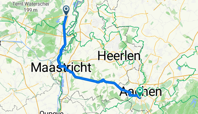
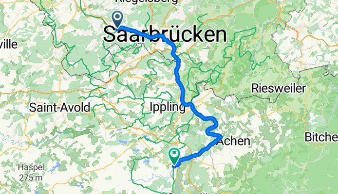
Maasmechelen - Aachen
Cycling route in Maasmechelen, Flemish Region, Belgium
- 53.9 km
- Distance
- 353 m
- Ascent
- 202 m
- Descent
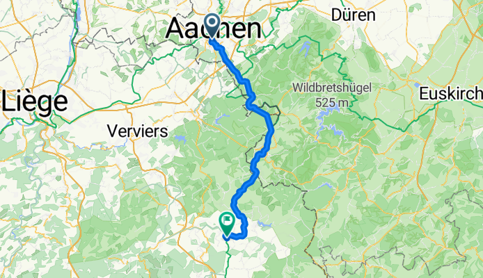
Aachen - Waimes
Cycling route in Aachen, North Rhine-Westphalia, Germany
- 57.8 km
- Distance
- 717 m
- Ascent
- 411 m
- Descent
Merlscheid - Ralingen
Cycling route in Merlscheid, Rhineland-Palatinate, Germany
- 61.9 km
- Distance
- 970 m
- Ascent
- 1,215 m
- Descent
Ralingen - Taben-Rodt
Cycling route in Ralingen, Rhineland-Palatinate, Germany
- 42.1 km
- Distance
- 533 m
- Ascent
- 506 m
- Descent
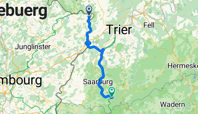
Taben-Rodt - Völklingen
Cycling route in Taben-Rodt, Rhineland-Palatinate, Germany
- 61.8 km
- Distance
- 850 m
- Ascent
- 846 m
- Descent
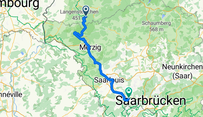
Völklingen - Sarralbe
Cycling route in Völklingen, Saarland, Germany
- 51.9 km
- Distance
- 263 m
- Ascent
- 233 m
- Descent
Sarralbe - Niderviller
Cycling route in Sarralbe, Grand Est, France
- 57.5 km
- Distance
- 301 m
- Ascent
- 250 m
- Descent
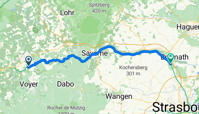
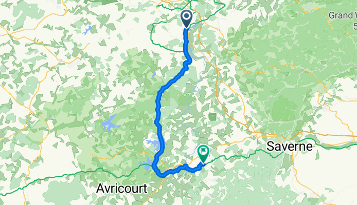
Niderviller - Brumath
Cycling route in Niderviller, Grand Est, France
- 55.6 km
- Distance
- 434 m
- Ascent
- 556 m
- Descent