
Trient Roma
A cycling tour with 15 stages, starting in Mattarello, Trentino-Alto Adige, Italy.
Overview
About this tour
This cycling tour has 15 stages and a total length of 740.1 km.
- 15
- Routes
- 49 h 1 min
- Duration
- 740.1 km
- Distance
- 15.1 km/h
- Avg. speed
- 8,682 m
- Ascent
- 8,844 m
- Descent
created this 4 months ago
Trient Roma
Stages of this tour
All 15 stages of this tour can be opened on the map or in the Bikemap App for more details, where you can adjust them in the route planner or download them as GPX or KML file. Use them as a template for planning your own tour, or let Bikemap navigate you along them directly.
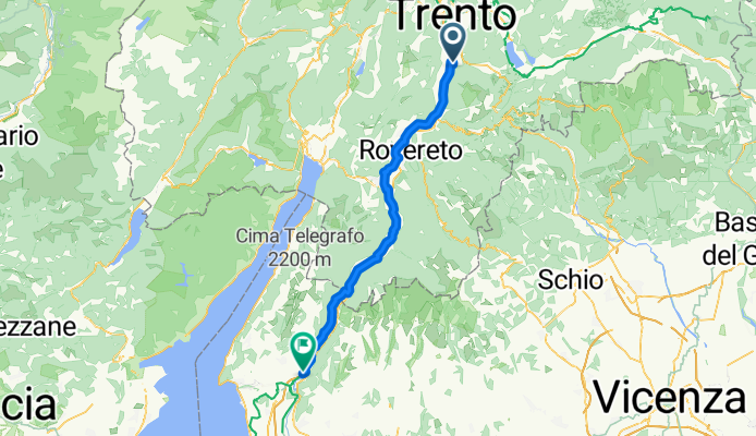
Mattarello - Dolcè
Cycling route in Mattarello, Trentino-Alto Adige, Italy
- 63.5 km
- Distance
- 324 m
- Ascent
- 409 m
- Descent
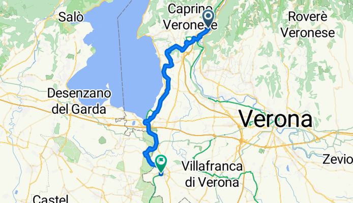
Dolcè - Valeggio sul Mincio
Cycling route in Dolcè, Veneto, Italy
- 43.6 km
- Distance
- 398 m
- Ascent
- 435 m
- Descent
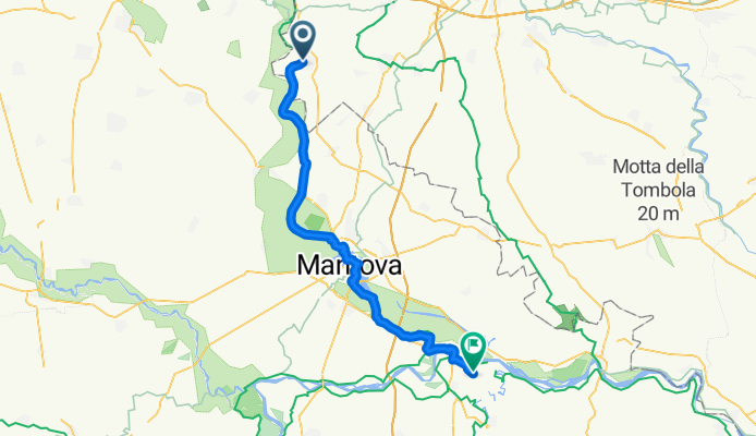
Valeggio sul Mincio - San Benedetto Po
Cycling route in Valeggio sul Mincio, Veneto, Italy
- 54 km
- Distance
- 60 m
- Ascent
- 114 m
- Descent
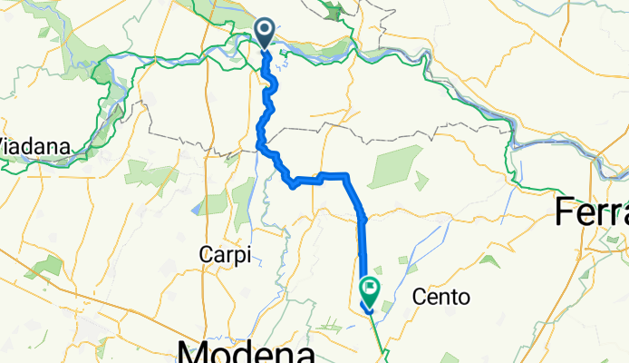
San Benedetto Po - Crevalcore
Cycling route in San Benedetto Po, Lombardy, Italy
- 60.3 km
- Distance
- 48 m
- Ascent
- 46 m
- Descent
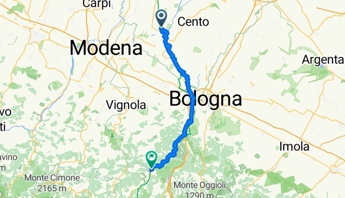
Crevalcore - Vergato
Cycling route in Crevalcore, Emilia-Romagna, Italy
- 73.1 km
- Distance
- 558 m
- Ascent
- 376 m
- Descent
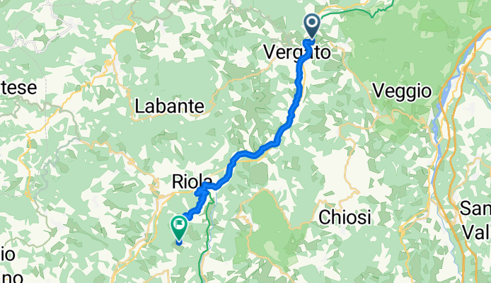
Vergato - Castel di Casio
Cycling route in Vergato, Emilia-Romagna, Italy
- 15 km
- Distance
- 466 m
- Ascent
- 202 m
- Descent
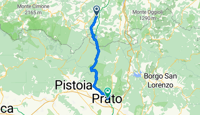
Castel di Casio - Prato
Cycling route in Castel di Casio, Emilia-Romagna, Italy
- 56.2 km
- Distance
- 2,070 m
- Ascent
- 2,463 m
- Descent
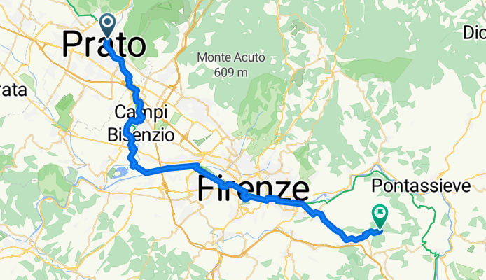
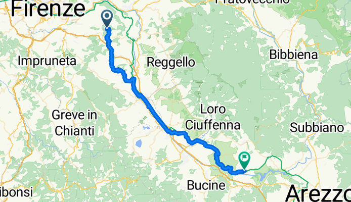
Pontassieve - Laterina
Cycling route in Pontassieve, Tuscany, Italy
- 53 km
- Distance
- 722 m
- Ascent
- 967 m
- Descent
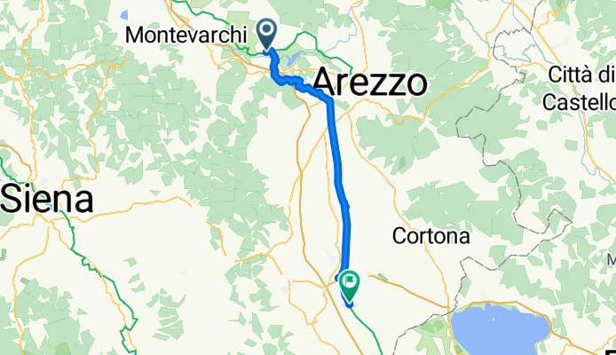
Bettolle - Fabro Scalo
Cycling route in Bettolle, Tuscany, Italy
- 46.7 km
- Distance
- 105 m
- Ascent
- 113 m
- Descent
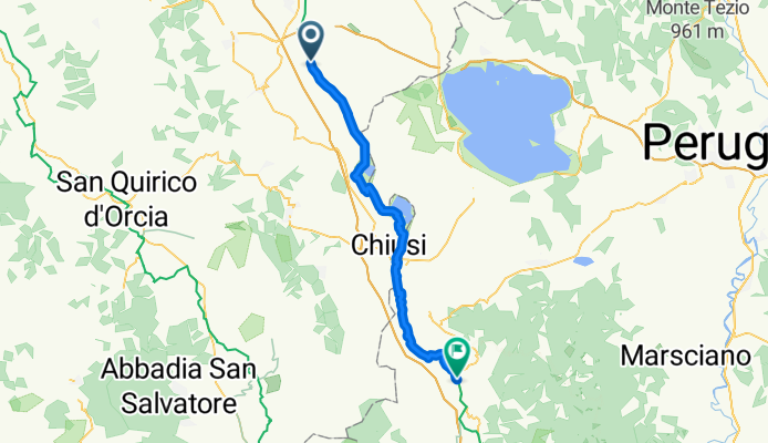
Fabro Scalo - Montefiascone
Cycling route in Fabro Scalo, Umbria, Italy
- 60.3 km
- Distance
- 1,283 m
- Ascent
- 921 m
- Descent