
From Enschede to Trento
A cycling tour with 19 stages, starting in Enschede, Overijssel, The Netherlands.OverviewAbout this tour
This cycling tour has 19 stages and a total length of
1,487 km.
- 19
- Routes
- 88 h 5 min
- Duration
- 1,487 km
- Distance
- 16.9 km/h
- Avg. speed
- 13,934 m
- Ascent
- 13,770 m
- Descent
joh.tecreated this 6 months ago
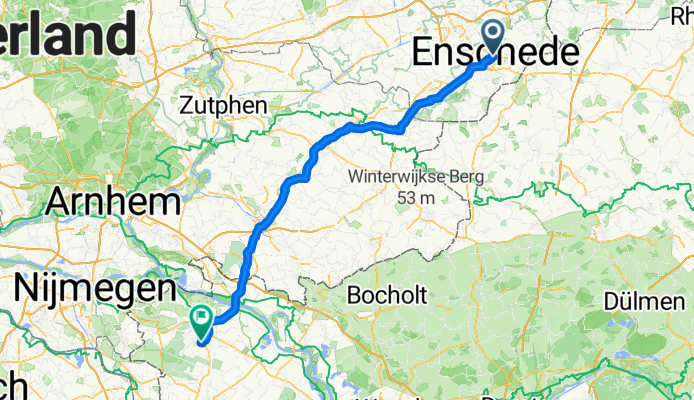
Enschede - Kleve
Cycling route in Enschede, Overijssel, The Netherlands
- 88.4 km
- Distance
- 142 m
- Ascent
- 138 m
- Descent
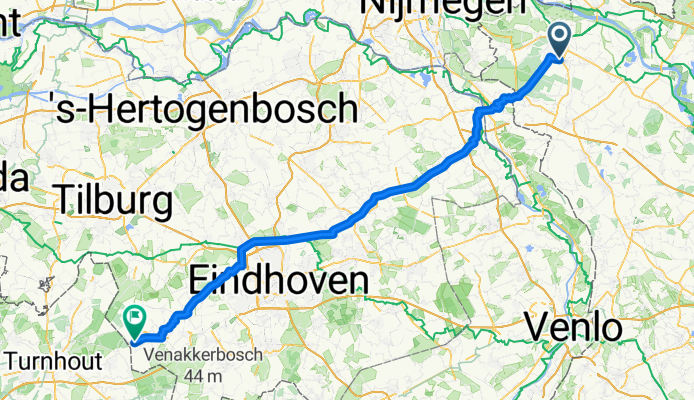
Kleve - Bladel
Cycling route in Kleve, North Rhine-Westphalia, Germany
- 98.3 km
- Distance
- 105 m
- Ascent
- 120 m
- Descent
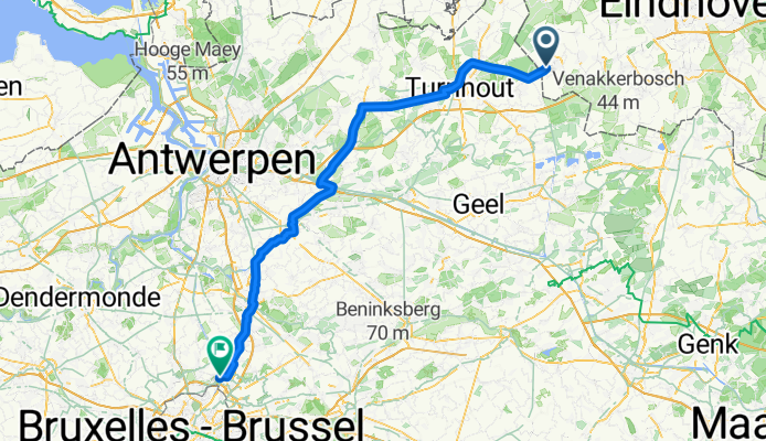
Bladel - Vilvoorde
Cycling route in Bladel, North Brabant, The Netherlands
- 90.4 km
- Distance
- 118 m
- Ascent
- 127 m
- Descent
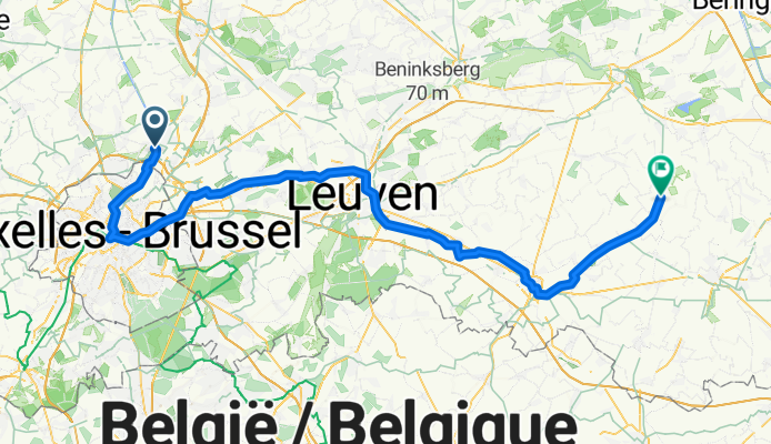
Vilvoorde - Geetbets
Cycling route in Vilvoorde, Flemish Region, Belgium
- 81.4 km
- Distance
- 292 m
- Ascent
- 286 m
- Descent
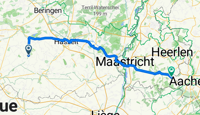
Geetbets - Simpelveld
Cycling route in Geetbets, Flemish Region, Belgium
- 81.3 km
- Distance
- 400 m
- Ascent
- 290 m
- Descent
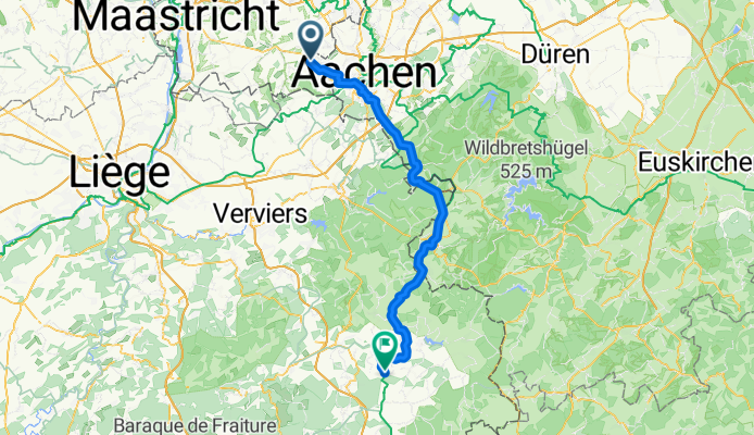
Simpelveld - Waimes
Cycling route in Simpelveld, Limburg, The Netherlands
- 69.9 km
- Distance
- 851 m
- Ascent
- 513 m
- Descent
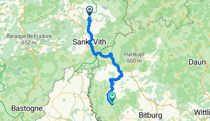
Plascheid - Taben-Rodt
Cycling route in Plascheid, Rhineland-Palatinate, Germany
- 84.1 km
- Distance
- 1,261 m
- Ascent
- 1,460 m
- Descent
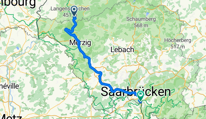
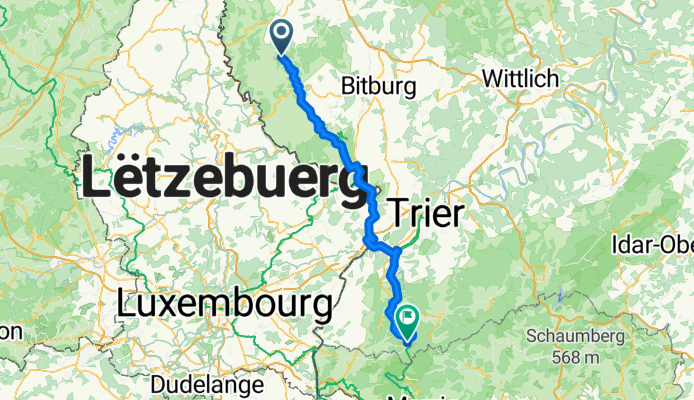
Taben-Rodt - Kleinblittersdorf
Cycling route in Taben-Rodt, Rhineland-Palatinate, Germany
- 75.5 km
- Distance
- 934 m
- Ascent
- 912 m
- Descent
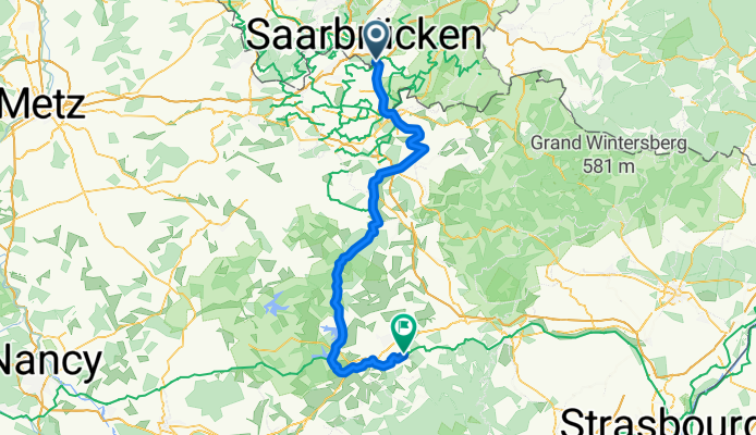
Kleinblittersdorf - Niderviller
Cycling route in Kleinblittersdorf, Saarland, Germany
- 95.8 km
- Distance
- 475 m
- Ascent
- 395 m
- Descent
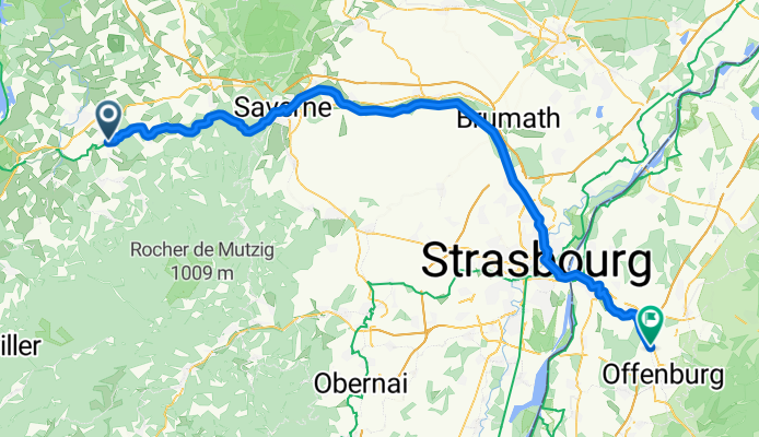
Niderviller - Offenburg
Cycling route in Niderviller, Grand Est, France
- 89.2 km
- Distance
- 490 m
- Ascent
- 618 m
- Descent
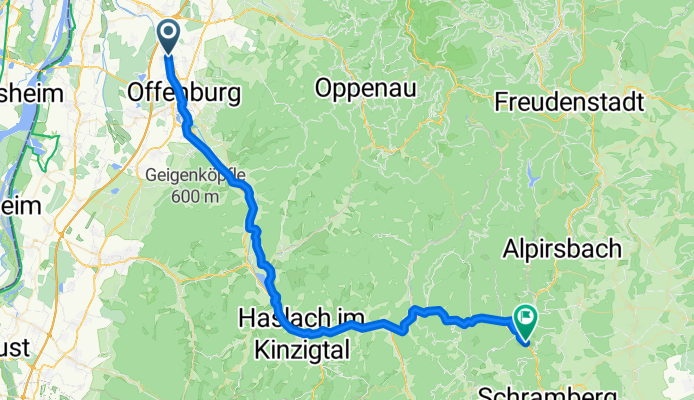
Offenburg - Schiltach
Cycling route in Offenburg, Baden-Wurttemberg, Germany
- 58.9 km
- Distance
- 912 m
- Ascent
- 646 m
- Descent