
Antibes
A cycling tour with 11 stages, starting in Les Houches, Auvergne-Rhône-Alpes, France.
Overview
About this tour
This cycling tour has 11 stages and a total length of 718 km.
- 11
- Routes
- 43 h 20 min
- Duration
- 718 km
- Distance
- 16.6 km/h
- Avg. speed
- 7,226 m
- Ascent
- 8,313 m
- Descent
created this 4 months ago
Antibes
Stages of this tour
All 11 stages of this tour can be opened on the map or in the Bikemap App for more details, where you can adjust them in the route planner or download them as GPX or KML file. Use them as a template for planning your own tour, or let Bikemap navigate you along them directly.
Les Houches - Ugine
Cycling route in Les Houches, Auvergne-Rhône-Alpes, France
- 57 km
- Distance
- 1,875 m
- Ascent
- 2,044 m
- Descent
Ugine - Pontcharra
Cycling route in Ugine, Auvergne-Rhône-Alpes, France
- 65.5 km
- Distance
- 393 m
- Ascent
- 1,081 m
- Descent
Pontcharra - Vinay
Cycling route in Pontcharra, Auvergne-Rhône-Alpes, France
- 90.3 km
- Distance
- 340 m
- Ascent
- 348 m
- Descent
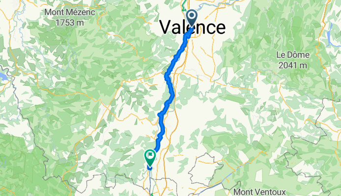
Vinay - Valence
Cycling route in Vinay, Auvergne-Rhône-Alpes, France
- 70.6 km
- Distance
- 463 m
- Ascent
- 592 m
- Descent
Valence - Bourg-Saint-Andéol
Cycling route in Valence, Auvergne-Rhône-Alpes, France
- 89.4 km
- Distance
- 321 m
- Ascent
- 379 m
- Descent
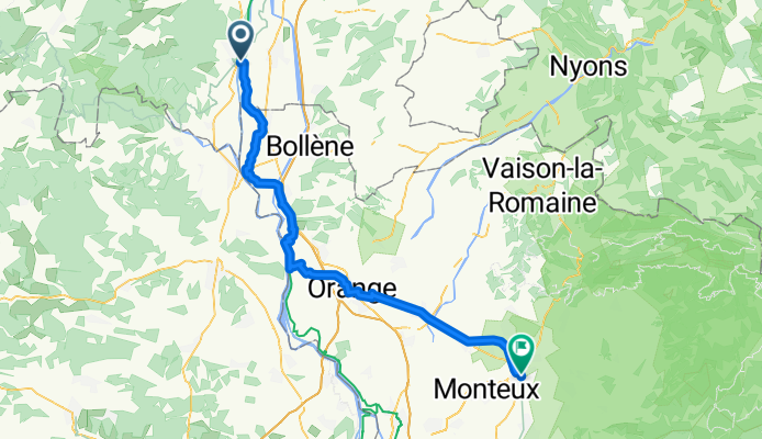
Bourg-Saint-Andéol - Carpentras
Cycling route in Bourg-Saint-Andéol, Auvergne-Rhône-Alpes, France
- 65 km
- Distance
- 205 m
- Ascent
- 160 m
- Descent
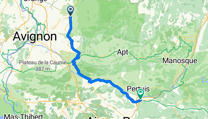
Carpentras - Meyrargues
Cycling route in Carpentras, Provence-Alpes-Côte d'Azur Region, France
- 88.3 km
- Distance
- 455 m
- Ascent
- 350 m
- Descent
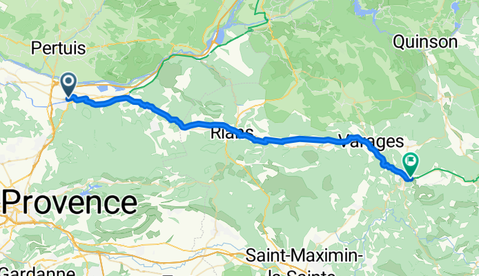
Meyrargues - Barjols
Cycling route in Meyrargues, Provence-Alpes-Côte d'Azur Region, France
- 47.7 km
- Distance
- 667 m
- Ascent
- 528 m
- Descent
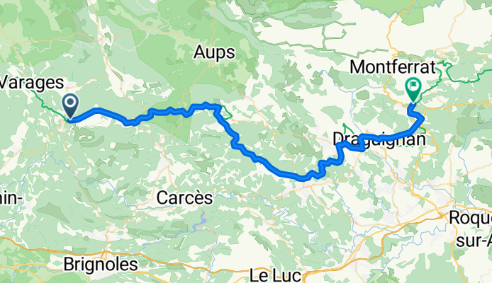
Barjols - Figanières
Cycling route in Barjols, Provence-Alpes-Côte d'Azur Region, France
- 61.9 km
- Distance
- 1,037 m
- Ascent
- 1,071 m
- Descent
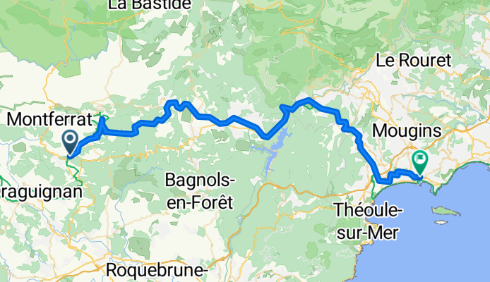
Figanières - Cannes
Cycling route in Figanières, Provence-Alpes-Côte d'Azur Region, France
- 68.7 km
- Distance
- 1,314 m
- Ascent
- 1,596 m
- Descent
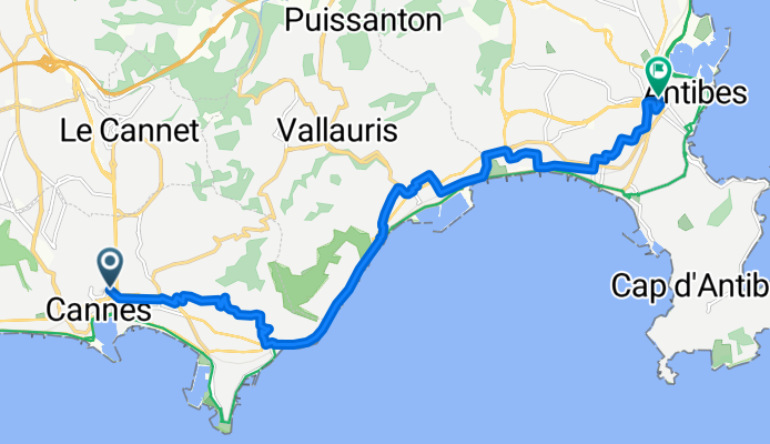
Cannes - Antibes
Cycling route in Cannes, Provence-Alpes-Côte d'Azur Region, France
- 13.6 km
- Distance
- 156 m
- Ascent
- 165 m
- Descent