
My saved routes
A collection of 4 cycling routes, created by K700.
Overview
About this collection
This collection contains all routes that were previously saved.
- 4
- Routes
- -:--
- Duration
- 227.6 km
- Distance
- ---
- Avg. speed
- 6,869 m
- Ascent
- 2,724 m
- Descent
K700
created this 9 years ago
My saved routes
Routes in this collection
All 4 routes in this collection can be opened on the map or in the Bikemap App for more details, where you can adjust them in the route planner, or download them as GPX or KML file. Use them as a template for planning your own rides, or let Bikemap navigate you along them directly.
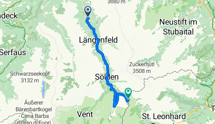
Umhausen - Timmelsjoch
Cycling route in Umhausen, Tyrol, Austria
In the short descent behind the toll booth, just before the curve, there is a cattle grid on the road. Caution!! as one arrives here at about 60-70 km/h.
With a gear ratio of 39/27, it is passable.
- 45.9 km
- Distance
- 1,653 m
- Ascent
- 219 m
- Descent

Umhausen - Kühtai
Cycling route in Umhausen, Tyrol, Austria
With a gear ratio of 39/27, it's just possible to manage. The steepest section is 15% and about 500m long, the rest is around 9%. In short, 1200 m of elevation gain over 18 km.
- 26.2 km
- Distance
- 1,237 m
- Ascent
- 247 m
- Descent

Ötztal Teil 2
Cycling route in Umhausen, Tyrol, Austria
the ride to Tiefenbachfener is an absolute must for record hunters. At 2830 meters above sea level, it is the highest point accessible by racing bike in the Alpine region. The entire Ötztal route from Imst to Sölden is quite easy to ride. Slightly ascending with short, steeper sections. From Sölden…
- 39 km
- Distance
- 2,171 m
- Ascent
- 450 m
- Descent

Längenfeld Kühtai und retour
Cycling route in Umhausen, Tyrol, Austria
- 116.5 km
- Distance
- 1,808 m
- Ascent
- 1,808 m
- Descent