
My saved routes
A collection of 9 cycling routes, created by DaniloM.
Overview
About this collection
This collection contains all routes that were previously saved.
- 9
- Routes
- -:--
- Duration
- 640.7 km
- Distance
- ---
- Avg. speed
- 5,963 m
- Ascent
- 3,770 m
- Descent
created this 10 years ago
My saved routes
Routes in this collection
All 9 routes in this collection can be opened on the map or in the Bikemap App for more details, where you can adjust them in the route planner, or download them as GPX or KML file. Use them as a template for planning your own rides, or let Bikemap navigate you along them directly.

Šentjur-Podčetrtek-Šentjur (kratka :) )
Cycling route in Šentjur pri Celju, Šentjur Municipality, Slovenia
- 53.6 km
- Distance
- 250 m
- Ascent
- 253 m
- Descent

Šentjur-Žalec via Dobrna-Ljubečna-Šentjur
Cycling route in Šentjur pri Celju, Šentjur Municipality, Slovenia
- 53.7 km
- Distance
- 279 m
- Ascent
- 279 m
- Descent

Šentjur-Celje-Arja vas-Dobrna-Vojnik-Šentjur
Cycling route in Šentjur pri Celju, Šentjur Municipality, Slovenia
- 53.9 km
- Distance
- 240 m
- Ascent
- 240 m
- Descent


OD GD DO GD 50km
Cycling route in Šentjur pri Celju, Šentjur Municipality, Slovenia
- 49.4 km
- Distance
- 449 m
- Ascent
- 448 m
- Descent

REKREATIVNI KOLESARSKI MARATON INSTALACIJ PESAN
Cycling route in Šentjur pri Celju, Šentjur Municipality, Slovenia
- 50.6 km
- Distance
- 1,676 m
- Ascent
- 520 m
- Descent

Gro&glockner
Cycling route in Heiligenblut am Großglockner, Carinthia, Austria
- 33.6 km
- Distance
- 1,775 m
- Ascent
- 733 m
- Descent

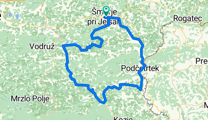
Veliki Šmarski maraton
Cycling route in Šmarje pri Jelšah, Občina Šmarje pri Jelšah, Slovenia
- 62.9 km
- Distance
- 661 m
- Ascent
- 661 m
- Descent