
My saved routes
A collection of 14 cycling routes, created by Stelvio.
Overview
About this collection
This collection contains all routes that were previously saved.
- 14
- Routes
- -:--
- Duration
- 824.5 km
- Distance
- ---
- Avg. speed
- 3,037 m
- Ascent
- 2,987 m
- Descent

created this 9 years ago
My saved routes
Routes in this collection
All 14 routes in this collection can be opened on the map or in the Bikemap App for more details, where you can adjust them in the route planner, or download them as GPX or KML file. Use them as a template for planning your own rides, or let Bikemap navigate you along them directly.

PSC-RTF Strecke 74km CLONED FROM ROUTE 185124
Cycling route in Pulheim, North Rhine-Westphalia, Germany
- 72.3 km
- Distance
- 180 m
- Ascent
- 182 m
- Descent
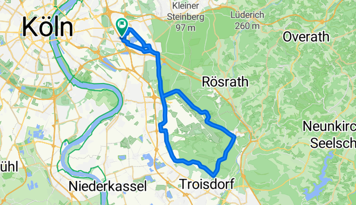
Rund um Flughafen
Cycling route in Ostheim, North Rhine-Westphalia, Germany
- 39.7 km
- Distance
- 145 m
- Ascent
- 145 m
- Descent

Wohlenberger Runde
Cycling route in Wismar, Mecklenburg-Vorpommern, Germany
- 57.9 km
- Distance
- 225 m
- Ascent
- 225 m
- Descent

MT 2011 CLONED FROM ROUTE 872318
Cycling route in Ratzeburg, Schleswig-Holstein, Germany
- 81.1 km
- Distance
- 307 m
- Ascent
- 307 m
- Descent

Rund Vierlande 40
Cycling route in Bergedorf, City state of Hamburg, Germany
- 43 km
- Distance
- 0 m
- Ascent
- 0 m
- Descent

Bleckede-Hitzacker
Cycling route in Bleckede, Lower Saxony, Germany
- 44.9 km
- Distance
- 282 m
- Ascent
- 273 m
- Descent


Speyer-Germersheim
Cycling route in Speyer, Rhineland-Palatinate, Germany
- 50.6 km
- Distance
- 50 m
- Ascent
- 51 m
- Descent

Vom Rhein zum Kraichgau 2014 - RTF des RSC Vorwärts Speyer e.V. - 43 km Strecke
Cycling route in Speyer, Rhineland-Palatinate, Germany
- 42.6 km
- Distance
- 63 m
- Ascent
- 60 m
- Descent

Rund um den Kaiserdom 2016 - RTF des RSC Vorwärts Speyer e.V. - 84 km Strecke
Cycling route in Speyer, Rhineland-Palatinate, Germany
- 87.3 km
- Distance
- 232 m
- Ascent
- 232 m
- Descent

PFW Kalmit
Cycling route in Speyer, Rhineland-Palatinate, Germany
- 86.5 km
- Distance
- 573 m
- Ascent
- 573 m
- Descent