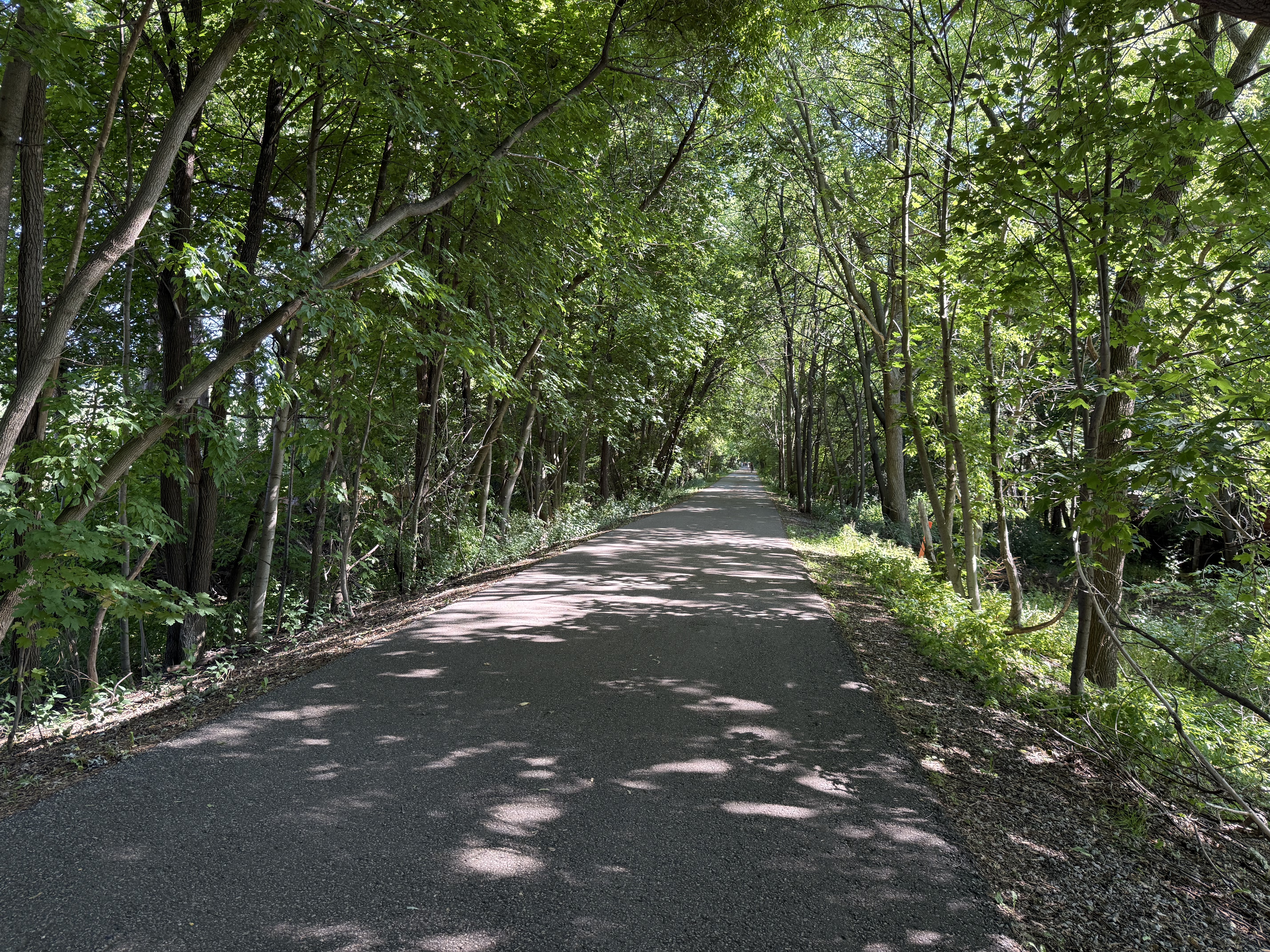
For your road bike
Ride the world's best road cycling routes
From legendary alpine passes to rolling coastal highways—these are the top-rated road bike routes from the Bikemap community. Get inspired and ride your perfect line.
 Donau-Radweg: Wien-Bratislava
- Distance
- 70.9 km
- Ascent
- 332 m
- Descent
- 340 m
- Location
- Vienna, Vienna, Austria
 Donauinsel / Schloss Hof
- Distance
- 45.5 km
- Ascent
- 764 m
- Descent
- 765 m
- Location
- Schwechat, Lower Austria, Austria
 Long Toronto Loop
- Distance
- 76.9 km
- Ascent
- 374 m
- Descent
- 370 m
- Location
- Toronto, Ontario, Canada
 Vaughan to Toronto Islands
- Distance
- 54.5 km
- Ascent
- 249 m
- Descent
- 362 m
- Location
- Concord, Ontario, Canada
 Untitled route
- Distance
- 62.2 km
- Ascent
- 942 m
- Descent
- 908 m
- Location
- Kelowna, British Columbia, Canada
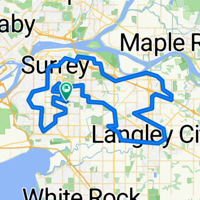 100 km Surrey Langley Loop
- Distance
- 103.3 km
- Ascent
- 590 m
- Descent
- 589 m
- Location
- Surrey, British Columbia, Canada
 tablillas
- Distance
- 39.2 km
- Ascent
- 164 m
- Descent
- 176 m
- Location
- Los Chiles, Alajuela Province, Costa Rica
 Avenida Raúl Mata de la Cruz, Piura a Departamento de Piura
- Distance
- 72.9 km
- Ascent
- 264 m
- Descent
- 262 m
- Location
- Piura, Piura, Peru
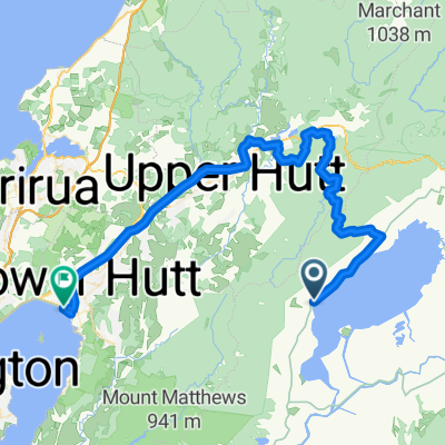 Upper Hutt - Petone
- Distance
- 68.4 km
- Ascent
- 1,066 m
- Descent
- 1,094 m
- Location
- Upper Hutt, Wellington, New Zealand
 Stage 4
- Distance
- 44.5 km
- Ascent
- 710 m
- Descent
- 578 m
 Rydalmere to city Cooks River return
- Distance
- 66 km
- Ascent
- 456 m
- Descent
- 449 m
- Location
- Ermington, New South Wales, Australia
 Rydalmere to city Cooks River return
- Distance
- 66 km
- Ascent
- 456 m
- Descent
- 449 m
- Location
- Ermington, New South Wales, Australia
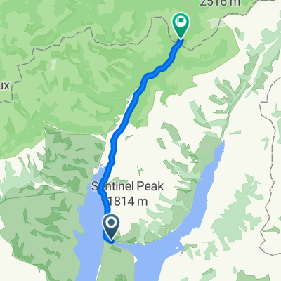
 Taitung to Kenting
- Distance
- 134.5 km
- Ascent
- 791 m
- Descent
- 795 m
- Location
- Taitung, Taiwan, Taiwan
 Route to Otsu
- Distance
- 75.8 km
- Ascent
- 470 m
- Descent
- 458 m
- Location
- Hikone, Shiga Prefecture, Japan
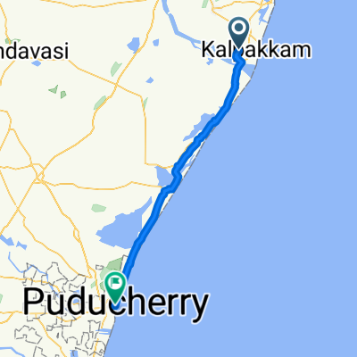 Mahabalipuram - Puducherry
- Distance
- 78.9 km
- Ascent
- 162 m
- Descent
- 160 m
- Location
- Mahabalipuram, Tamil Nadu, India
 High-speed route pinkanda -hemmaliya -pinkanda
- Distance
- 32.2 km
- Ascent
- 100 m
- Descent
- 98 m
- Location
- Hikkaduwa, Southern Province, Sri Lanka
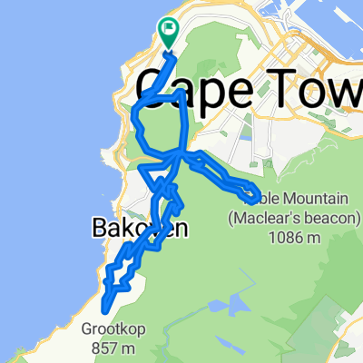 Table Glen Apostles
- Distance
- 31.3 km
- Ascent
- 1,410 m
- Descent
- 1,410 m
- Location
- Cape Town, Western Cape, Republic of South Africa
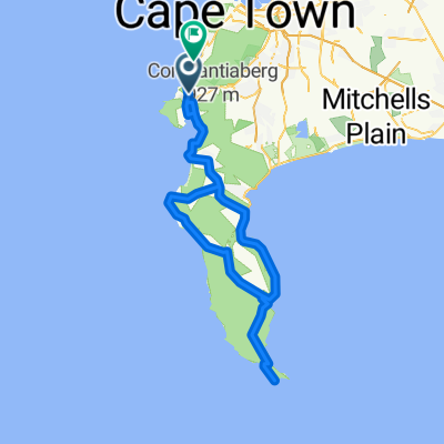 Cape of Good Hope
- Distance
- 117.9 km
- Ascent
- 1,506 m
- Descent
- 1,588 m
- Location
- Constantia, Western Cape, Republic of South Africa
 da loop
- Distance
- 100.7 km
- Ascent
- 813 m
- Descent
- 813 m
- Location
- Odiham, England, United Kingdom
 The Parade, Ashford to Grove Road, Eastbourne
- Distance
- 109.3 km
- Ascent
- 1,003 m
- Descent
- 1,032 m
- Location
- Ashford, England, United Kingdom