For your road bike
Ride the world's best road cycling routes
From legendary alpine passes to rolling coastal highways—these are the top-rated road bike routes from the Bikemap community. Get inspired and ride your perfect line.
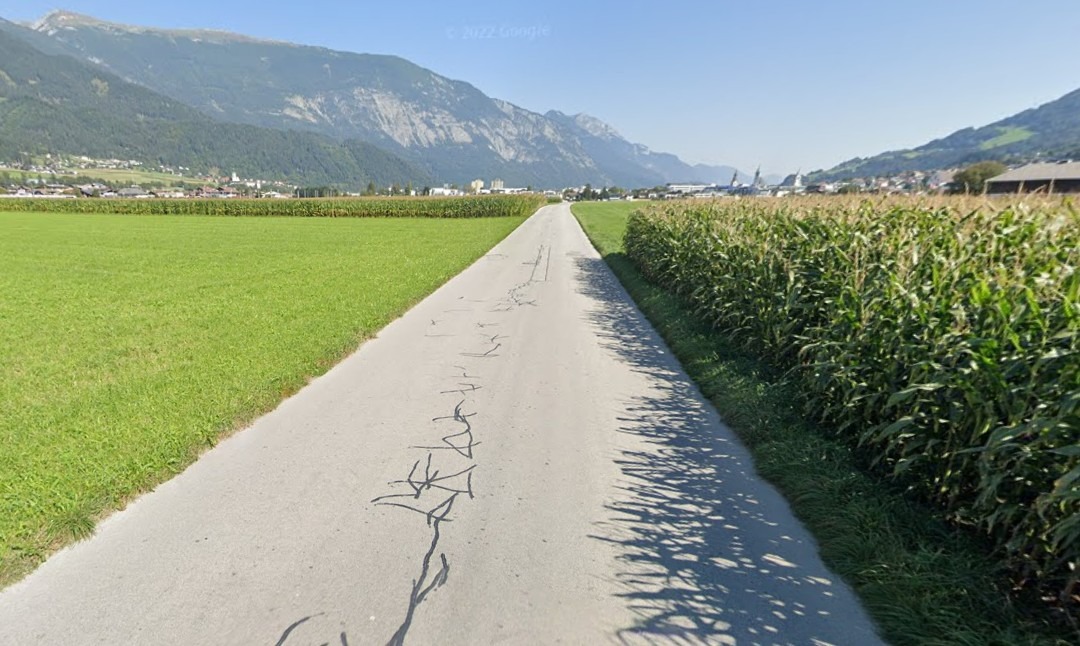 23.6. Maurach - Innsbruck
- Distance
- 49 km
- Ascent
- 264 m
- Descent
- 630 m
- Location
- Jenbach, Tyrol, Austria
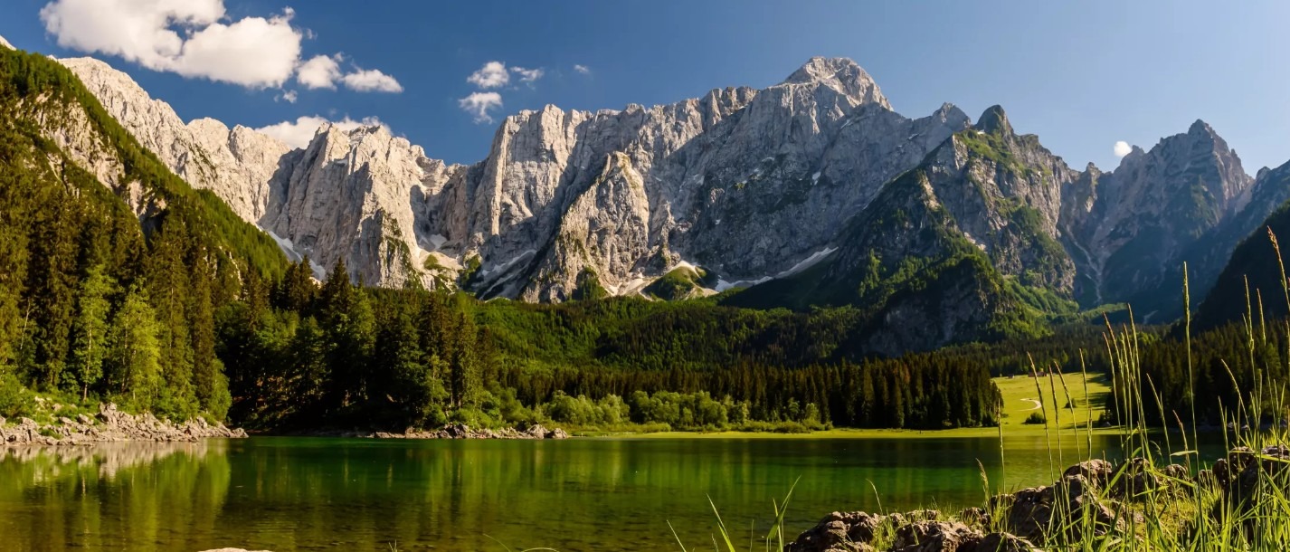 28.6. Villach - Kranjska Gora
- Distance
- 62.1 km
- Ascent
- 1,272 m
- Descent
- 972 m
- Location
- Villach, Carinthia, Austria
 Brenham to Hempstead
- Distance
- 41 km
- Ascent
- 270 m
- Descent
- 309 m
- Location
- Brenham, Texas, United States
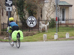
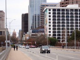 Austin - Circle to McKinney Falls State Park
- Distance
- 40.3 km
- Ascent
- 360 m
- Descent
- 355 m
- Location
- Rollingwood, Texas, United States
 Two Bridges
- Distance
- 31.2 km
- Ascent
- 196 m
- Descent
- 196 m
- Location
- West End, British Columbia, Canada
 Spanish Gold
- Distance
- 31.2 km
- Ascent
- 156 m
- Descent
- 152 m
- Location
- West End, British Columbia, Canada
 a COCHRANE desde el PLAYON
- Distance
- 35.1 km
- Ascent
- 182 m
- Descent
- 79 m
- Location
- Bahía Blanca, Buenos Aires, Argentina
 JORGITO's MARATÓN
- Distance
- 41.7 km
- Ascent
- 408 m
- Descent
- 478 m
- Location
- San Vicente, Provincia de San José, Costa Rica
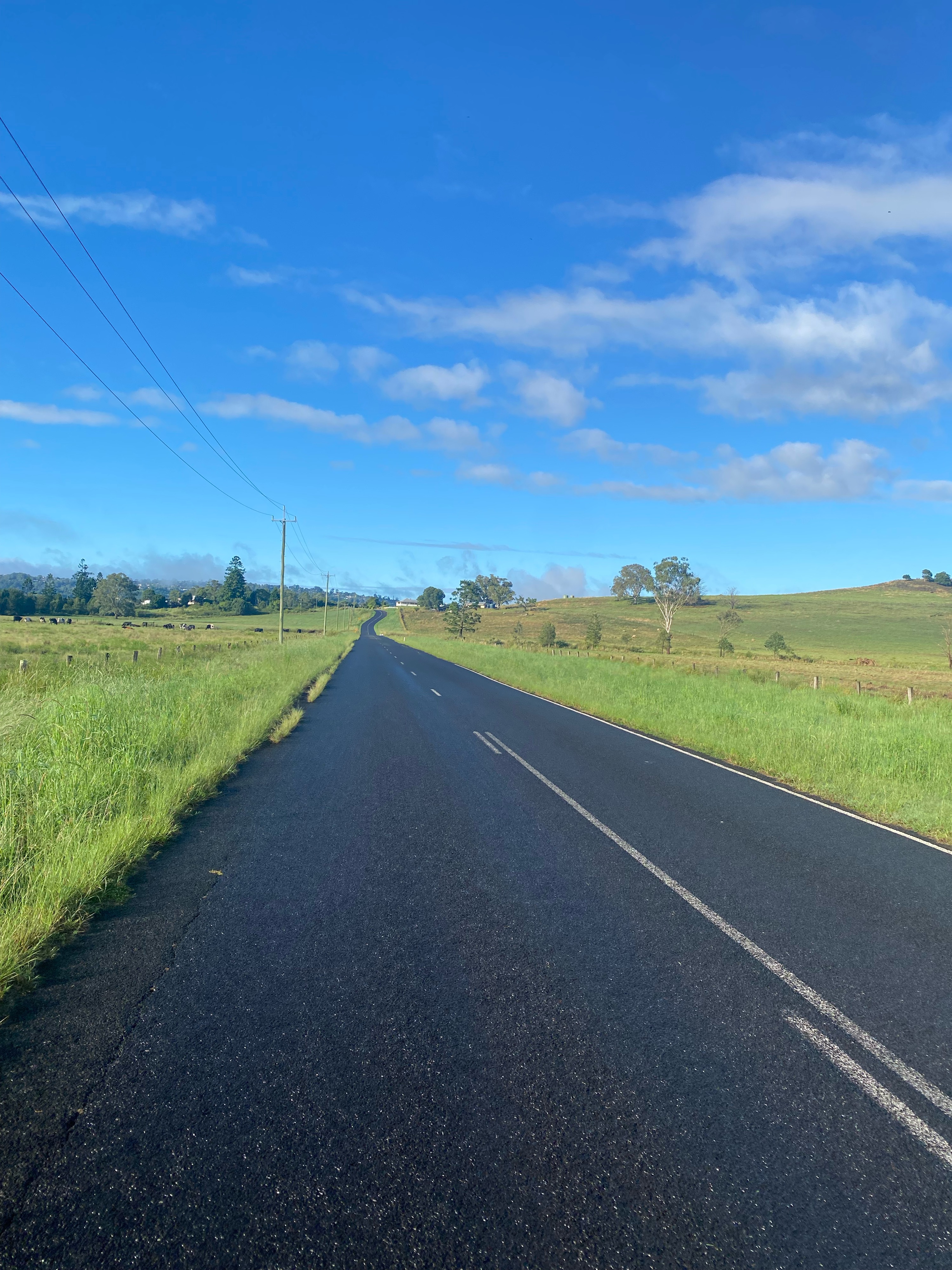
 Day 4 - Omarama to Kurow
- Distance
- 68.4 km
- Ascent
- 854 m
- Descent
- 1,078 m
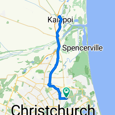 Netherby Ln, Christchurch to Netherby Ln, Christchurch
- Distance
- 38.3 km
- Ascent
- 93 m
- Descent
- 83 m
- Location
- Christchurch, Canterbury, New Zealand
 Alstonville - back via Eltham and Numulgi
- Distance
- 61.2 km
- Ascent
- 833 m
- Descent
- 830 m
- Location
- East Lismore, New South Wales, Australia
 Federation Square to Valley Lake Loop
- Distance
- 40.4 km
- Ascent
- 95 m
- Descent
- 100 m
- Location
- Southbank, Victoria, Australia
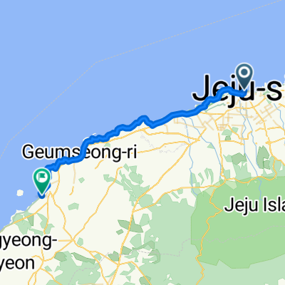 KOR Jeju-si to Hallim
- Distance
- 35.1 km
- Ascent
- 125 m
- Descent
- 118 m
- Location
- Jeju City, Jeju-do, Republic of Korea
 Sha Tin to Ma On Shan to Tai Mei Tuk
- Distance
- 39.7 km
- Ascent
- 357 m
- Descent
- 358 m
- Location
- Shatin, Sha Tin, Hong Kong
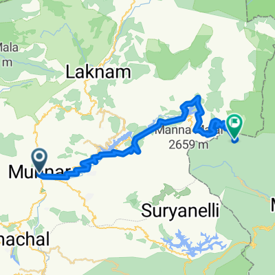 Devikulam to Bodinayakkanur
- Distance
- 47.8 km
- Ascent
- 2,450 m
- Descent
- 2,099 m
- Location
- Munnar, Kerala, India
 Route to The Vembanad Lake
- Distance
- 46.7 km
- Ascent
- 50 m
- Descent
- 49 m
- Location
- Alappuzha, Kerala, India
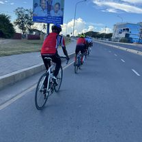 Jangwani, to Jangwani,
- Distance
- 47.7 km
- Ascent
- 109 m
- Descent
- 110 m
- Location
- Dar es Salaam, Dar es Salaam Region, Tanzania
 Uganda-Ruanda Etappe 6 (Byanamira-Mbarara)
- Distance
- 51.5 km
- Ascent
- 295 m
- Descent
- 248 m
 EA24 Day1 Hatfield Peverel - Colchester
- Distance
- 47.5 km
- Ascent
- 246 m
- Descent
- 274 m
- Location
- Hatfield Peverel, England, United Kingdom
 EA24: Day 2 Colchester - Felixstowe
- Distance
- 82.9 km
- Ascent
- 415 m
- Descent
- 424 m
- Location
- Colchester, England, United Kingdom