For your road bike
Ride the world's best road cycling routes
From legendary alpine passes to rolling coastal highways—these are the top-rated road bike routes from the Bikemap community. Get inspired and ride your perfect line.
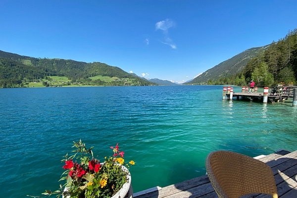
 Gloggnitz Loop über Prigglitz mit Päuschen
- Distance
- 34.7 km
- Ascent
- 507 m
- Descent
- 507 m
- Location
- Ternitz, Lower Austria, Austria
 27.6. Berg im Drautal - Villach
- Distance
- 73.9 km
- Ascent
- 1,296 m
- Descent
- 1,402 m
- Location
- Berg im Drautal, Carinthia, Austria
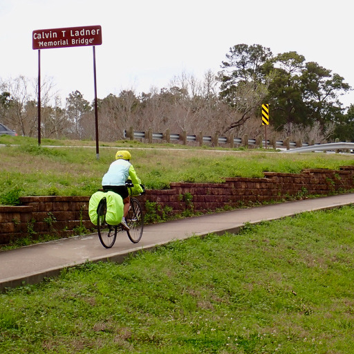 Houston-West University Place to Conroe
- Distance
- 83.5 km
- Ascent
- 203 m
- Descent
- 174 m
- Location
- Southside Place, Texas, United States
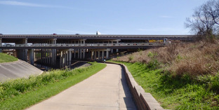 Conroe to Houston-West University Place
- Distance
- 83.3 km
- Ascent
- 139 m
- Descent
- 174 m
- Location
- Conroe, Texas, United States
 Osoyoos to Rock Creek actual
- Distance
- 57.6 km
- Ascent
- 1,329 m
- Descent
- 1,018 m
 Chilliwack - Circle to Canadian-US border via Lake Cultus, Henderson Rd, and Maple Falls Rd.
- Distance
- 44 km
- Ascent
- 532 m
- Descent
- 545 m
- Location
- Chilliwack, British Columbia, Canada
 RUTA 7 LAGOS▬SAN MARTIN A VILLA TRAFUL
- Distance
- 102.4 km
- Ascent
- 1,161 m
- Descent
- 997 m
- Location
- San Martín de los Andes, Neuquén Province, Argentina
 a COCHRANE desde el PLAYON
- Distance
- 35.1 km
- Ascent
- 182 m
- Descent
- 79 m
- Location
- Bahía Blanca, Buenos Aires, Argentina
 Mangakino to Pureora – Timber Trail Connection
- Distance
- 45 km
- Ascent
- 1,011 m
- Descent
- 662 m
 Waikato River Trail TA section
- Distance
- 99.7 km
- Ascent
- 2,268 m
- Descent
- 2,115 m
 Mooloolaba to Pelican Waters
- Distance
- 63.1 km
- Ascent
- 186 m
- Descent
- 184 m
- Location
- Mooloolabah, Queensland, Australia
 La Balsa Park, Mooloolah R., Kawana Lake, Moffat Beach, return Coastal Path
- Distance
- 39.4 km
- Ascent
- 87 m
- Descent
- 88 m
- Location
- Mooloolabah, Queensland, Australia
 Nakhodka - Lozovyy
- Distance
- 48.3 km
- Ascent
- 652 m
- Descent
- 605 m
- Location
- Nakhodka, Primorskiy Kray, Russia
 如來神掌
如來神掌- Distance
- 102.9 km
- Ascent
- 2,045 m
- Descent
- 2,036 m
- Location
- Taipei, Taipei, Taiwan
 Route to Kadamakkudy, Kanayannur, Kerala
- Distance
- 34.2 km
- Ascent
- 129 m
- Descent
- 132 m
 Route to Cheruthoni Dam
- Distance
- 40 km
- Ascent
- 1,766 m
- Descent
- 1,962 m
- Location
- Gudalur, Tamil Nadu, India
 From Benoni to Ekurhuleni
- Distance
- 32 km
- Ascent
- 196 m
- Descent
- 210 m
- Location
- Benoni, Gauteng, Republic of South Africa
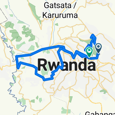 UCI 2025 Loops 1 + 2 Kigali
- Distance
- 56.2 km
- Ascent
- 1,362 m
- Descent
- 1,341 m
- Location
- Kigali, Kigali, Rwanda
 Watlington mtb route
- Distance
- 35.2 km
- Ascent
- 480 m
- Descent
- 479 m
- Location
- Watlington, England, United Kingdom
 Chingford Circular 2
- Distance
- 44.2 km
- Ascent
- 222 m
- Descent
- 221 m
- Location
- Hackney, England, United Kingdom