
Cycling in Sugarcreek Police Dept
Discover a map of 8 cycling routes and bike trails near Sugarcreek Police Dept, created by our community.
Region portrait
Get to know Sugarcreek Police Dept
Find the right bike route for you through Sugarcreek Police Dept, where we've got 8 cycle routes to explore.
282 km
Tracked distance
8
Cycle routes
2,220
Population
Community
Most active users in Sugarcreek Police Dept

From our community
The best bike routes in and around Sugarcreek Police Dept

40 mile Trail Route
Cycling route in Sugarcreek Police Dept, Ohio, United States of America
40 mile Trail route
- 48.6 km
- Distance
- 192 m
- Ascent
- 218 m
- Descent

3/12/20
Cycling route in Sugarcreek Police Dept, Ohio, United States of America
- 19.7 km
- Distance
- 309 m
- Ascent
- 296 m
- Descent

572 Shanesville Rd SW, Sugarcreek to 572 Shanesville Rd SW, Sugarcreek
Cycling route in Sugarcreek Police Dept, Ohio, United States of America
- 47.8 km
- Distance
- 732 m
- Ascent
- 730 m
- Descent
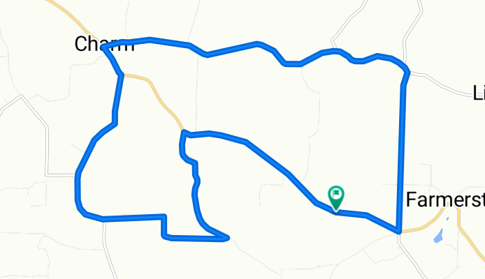
Charm North
Cycling route in Sugarcreek Police Dept, Ohio, United States of America
Right from Inn
0.6 LEFT
2.0 Left
4.8 Left
5.1 Right
6.6 Left
7.9 Left
9.0 Right
10.5 Finish
- 16.9 km
- Distance
- 233 m
- Ascent
- 233 m
- Descent
Discover more routes
 40 mile route with Mlbg Trail
- Distance
- 63.4 km
- Ascent
- 318 m
- Descent
- 399 m
- Location
- Sugarcreek Police Dept, Ohio, United States of America
 30 mile ride
- Distance
- 48.9 km
- Ascent
- 319 m
- Descent
- 343 m
- Location
- Sugarcreek Police Dept, Ohio, United States of America
 Charm South
- Distance
- 18.5 km
- Ascent
- 192 m
- Descent
- 192 m
- Location
- Sugarcreek Police Dept, Ohio, United States of America
 Dairy Queen
- Distance
- 18.3 km
- Ascent
- 239 m
- Descent
- 239 m
- Location
- Sugarcreek Police Dept, Ohio, United States of America