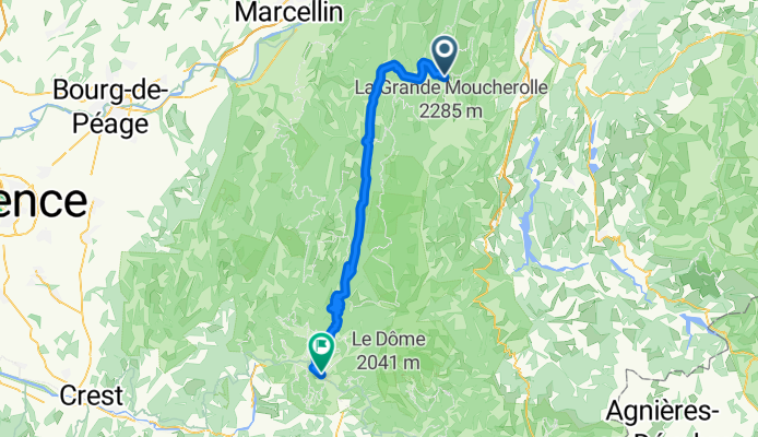
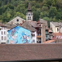
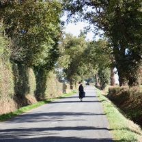
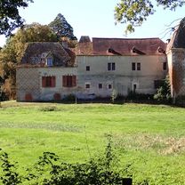
- 42.9 km
- 697 m
- 673 m
- Belley, Auvergne-Rhône-Alpes, France

Cycling in Auvergne-Rhône-Alpes
Discover a map of 76,701 cycling routes and bike trails in Auvergne-Rhône-Alpes, created by our community.
Region portrait
Get to know Auvergne-Rhône-Alpes
Find the right bike route for you through Auvergne-Rhône-Alpes, where we've got 76,701 cycle routes to explore. Most people get on their bikes to ride here in the months of July and August.
6,098,729 km
Tracked distance
76,701
Cycle routes
Community
Most active users in Auvergne-Rhône-Alpes
Handpicked routes
Discover Auvergne-Rhône-Alpes through these collections
From our community
The best bike routes in Auvergne-Rhône-Alpes
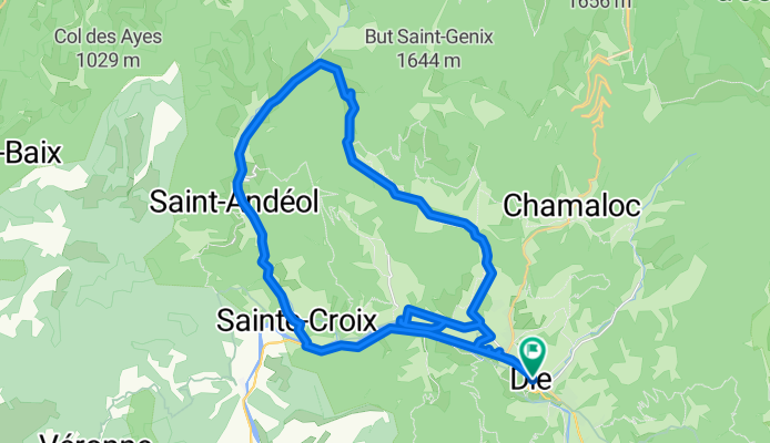
Die - Circle to St-Julien-en-Quint
Cycling route in Die, Auvergne-Rhône-Alpes, France
- 38.3 km
- Distance
- 556 m
- Ascent
- 553 m
- Descent
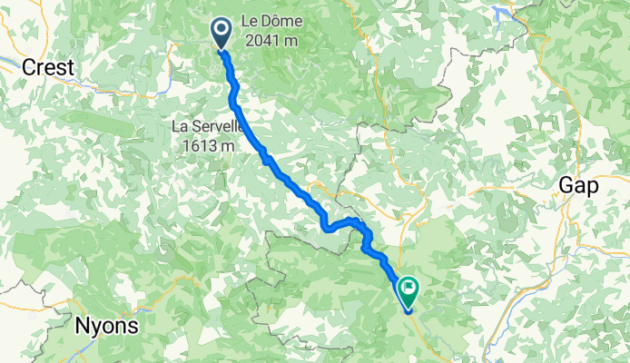
Die to Montrond
Cycling route in Die, Auvergne-Rhône-Alpes, France
- 66.8 km
- Distance
- 1,363 m
- Ascent
- 1,152 m
- Descent
Villard-de-Lans to Die
Cycling route in Villard-de-Lans, Auvergne-Rhône-Alpes, France
- 65.3 km
- Distance
- 938 m
- Ascent
- 1,627 m
- Descent
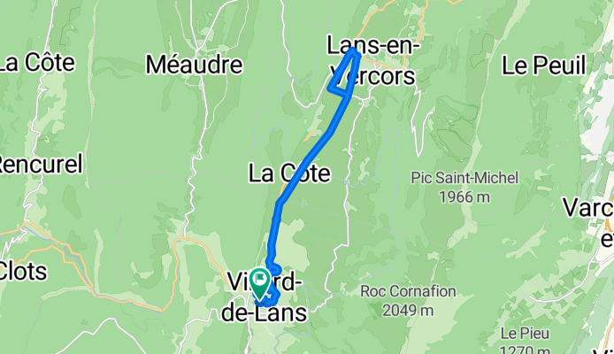
Villard-de-Lans - Circle to Lans-en-Vercors for Shopping
Cycling route in Villard-de-Lans, Auvergne-Rhône-Alpes, France
- 17.3 km
- Distance
- 154 m
- Ascent
- 152 m
- Descent
Discover more routes
- Belley to Chambéry
- Chambéry to Voreppe
- 47.2 km
- 870 m
- 938 m
- Cognin, Auvergne-Rhône-Alpes, France
- Voreppe to Villard-de-Lans
- 41.6 km
- 995 m
- 210 m
- Voreppe, Auvergne-Rhône-Alpes, France
- Chambéry - Circle toward Col du Granier
- 23.4 km
- 670 m
- 673 m
- Cognin, Auvergne-Rhône-Alpes, France
- Montluçon to Tronget
- 42 km
- 541 m
- 334 m
- Montluçon, Auvergne-Rhône-Alpes, France
- Château Gaillard to Belley
- 55 km
- 496 m
- 487 m
- Château-Gaillard, Auvergne-Rhône-Alpes, France
- Tronget to Moulins
- 31.2 km
- 84 m
- 394 m
- Buxières-les-Mines, Auvergne-Rhône-Alpes, France
- Moulins to Bourbon-Lancy
- 42.5 km
- 326 m
- 299 m
- Moulins, Auvergne-Rhône-Alpes, France
Cycling regions in Auvergne-Rhône-Alpes
Saint-André-de-Corcy
50 cycling routes
Plauzat
13 cycling routes
Rochetaillée-sur-Saône
22 cycling routes
Saint-Nizier-sous-Charlieu
3 cycling routes
Chamonix
663 cycling routes
See where people are biking in France
Popular cycling regions in France


