
Cycling in Gerung
Discover a map of 9 cycling routes and bike trails near Gerung, created by our community.
Be a pioneer
Inspire fellow cyclists with your route in Gerung
Bikemap is a global cycling community with millions of routes created by cyclists like you. There are only a few routes so far in Gerung, so plot your favourite rides on the map now to help others find the best ways to ride.
From our community
The best bike routes in and around Gerung
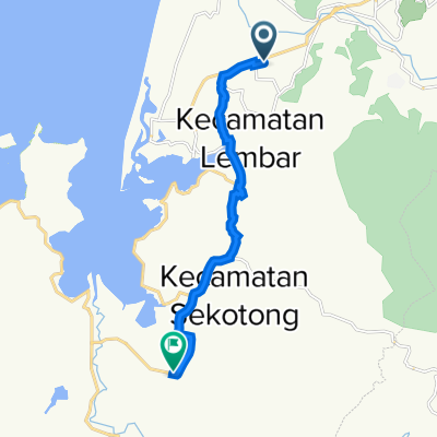
849Q+Q6H, Kecamatan Gerung to Jalan JB.Tuhu Mena No.11, Kecamatan Gerung
Cycling route in Gerung, West Nusa Tenggara, Indonesia
- 1.6 km
- Distance
- 0 m
- Ascent
- 7 m
- Descent
Jalan JB.Tuhu Mena No.11, Kecamatan Gerung to Jalan Penas IX, Kecamatan Gerung
Cycling route in Gerung, West Nusa Tenggara, Indonesia
- 1.9 km
- Distance
- 14 m
- Ascent
- 10 m
- Descent
Jembatan Kembar, Kecamatan Lembar to JGMP+HFF, Kecamatan Sembalun
Cycling route in Gerung, West Nusa Tenggara, Indonesia
- 89.8 km
- Distance
- 2,263 m
- Ascent
- 1,104 m
- Descent
Jembatan Kembar, Kecamatan Lembar to Jalan Tutul, Kecamatan Bayan
Cycling route in Gerung, West Nusa Tenggara, Indonesia
- 103.7 km
- Distance
- 1,378 m
- Ascent
- 1,144 m
- Descent
Discover more routes
- Jembatan Kembar, Kecamatan Lembar to JGMP+HFF, Kecamatan Sembalun
- Distance
- 89.8 km
- Ascent
- 2,263 m
- Descent
- 1,104 m
- Location
- Gerung, West Nusa Tenggara, Indonesia
- Jembatan Kembar, Kecamatan Lembar to Jalan Raya Sekotong - Lembar, Kecamatan Sekotong
- Distance
- 12.5 km
- Ascent
- 200 m
- Descent
- 196 m
- Location
- Gerung, West Nusa Tenggara, Indonesia
- Steady ride
- Distance
- 21.1 km
- Ascent
- 94 m
- Descent
- 79 m
- Location
- Gerung, West Nusa Tenggara, Indonesia
- Jembatan Kembar, Kecamatan Lembar to C432+85J, Kecamatan Mataram
- Distance
- 14.3 km
- Ascent
- 32 m
- Descent
- 29 m
- Location
- Gerung, West Nusa Tenggara, Indonesia
- Jembatan Kembar, Kecamatan Lembar to C47H+3Q5, Kecamatan Cakranegara
- Distance
- 15.8 km
- Ascent
- 37 m
- Descent
- 15 m
- Location
- Gerung, West Nusa Tenggara, Indonesia