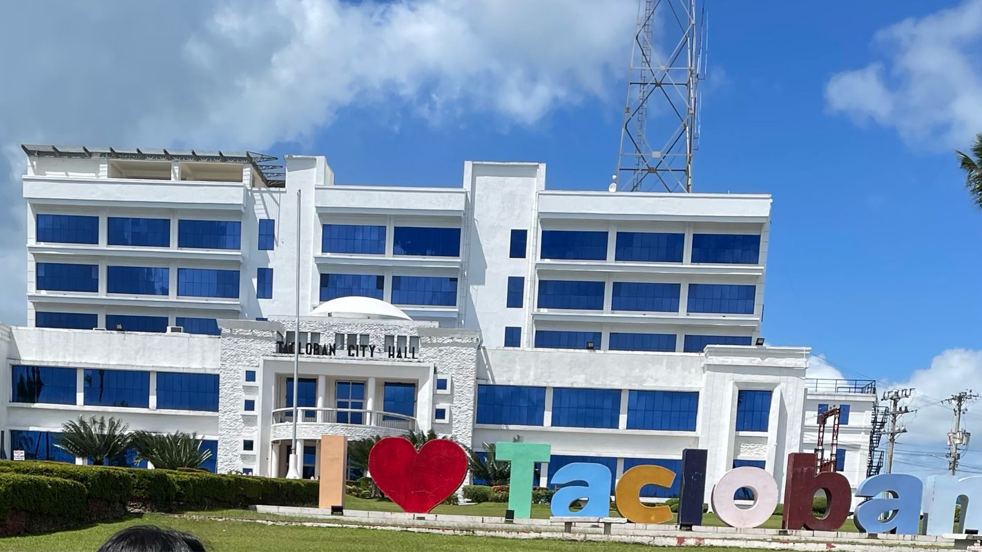
Cycling in Panalanoy
Discover a map of 55 cycling routes and bike trails near Panalanoy, created by our community.
Region portrait
Get to know Panalanoy
Find the right bike route for you through Panalanoy, where we've got 55 cycle routes to explore. Most people get on their bikes to ride here in the month of January.
2,005 km
Tracked distance
55
Cycle routes
189,090
Population
Community
Most active users in Panalanoy
From our community
The best bike routes in and around Panalanoy
Tacloban City to Tacloban City
Cycling route in Panalanoy, Region VIII, Philippines
- 19.4 km
- Distance
- 20 m
- Ascent
- 19 m
- Descent
San Antonio boat
Cycling route in Panalanoy, Region VIII, Philippines
- 9.2 km
- Distance
- 92 m
- Ascent
- 89 m
- Descent
Discover more routes
 J17 - samedi 26 janvier 2019 – Tacloban repos et visite
- Distance
- 33.6 km
- Ascent
- 40 m
- Descent
- 38 m
- Location
- Panalanoy, Region VIII, Philippines
 J18 - dimanche 27 janvier 2019 - Tacloban - Carigara
- Distance
- 73.6 km
- Ascent
- 114 m
- Descent
- 113 m
- Location
- Panalanoy, Region VIII, Philippines
 Sto. Niño Street 125, Tacloban to Pan-Philippine Highway, Tacloban City
- Distance
- 7.2 km
- Ascent
- 10 m
- Descent
- 25 m
- Location
- Panalanoy, Region VIII, Philippines
 Route
Route- Distance
- 17.7 km
- Ascent
- 42 m
- Descent
- 42 m
- Location
- Panalanoy, Region VIII, Philippines
 Maharlika Highway, Tacloban to Barangay 110 (Utap), Tacloban
- Distance
- 16.7 km
- Ascent
- 54 m
- Descent
- 52 m
- Location
- Panalanoy, Region VIII, Philippines
 july 11
- Distance
- 2.6 km
- Ascent
- 32 m
- Descent
- 28 m
- Location
- Panalanoy, Region VIII, Philippines
 Maharlika Highway, Tacloban to Barangay 110 (Utap), Tacloban
- Distance
- 2.2 km
- Ascent
- 40 m
- Descent
- 36 m
- Location
- Panalanoy, Region VIII, Philippines
 Route to Government Center Road Network, Palo
- Distance
- 6.6 km
- Ascent
- 11 m
- Descent
- 14 m
- Location
- Panalanoy, Region VIII, Philippines


