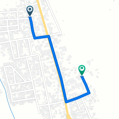
Cycling in Dinalupihan
Discover a map of 16 cycling routes and bike trails near Dinalupihan, created by our community.
Region portrait
Get to know Dinalupihan
Find the right bike route for you through Dinalupihan, where we've got 16 cycle routes to explore.
352 km
Tracked distance
16
Cycle routes
66,670
Population
Community
Most active users in Dinalupihan
From our community
The best bike routes in and around Dinalupihan
FR BAMBA (DINALUPIHAN) TO MT SAMAT
Cycling route in Dinalupihan, Central Luzon, Philippines
Uphill route from dinalupihan to mt samat
- 42.1 km
- Distance
- 709 m
- Ascent
- 291 m
- Descent
dinalupihan to mariveles
Cycling route in Dinalupihan, Central Luzon, Philippines
- 68.9 km
- Distance
- 787 m
- Ascent
- 796 m
- Descent
Dinalupihan to Vista Tala
Cycling route in Dinalupihan, Central Luzon, Philippines
- 20.3 km
- Distance
- 576 m
- Ascent
- 49 m
- Descent
Route from Dinalupihan-Floridablanca Access Road, Dinalupihan
Cycling route in Dinalupihan, Central Luzon, Philippines
- 15.5 km
- Distance
- 29 m
- Ascent
- 12 m
- Descent
Discover more routes
 Angeles-Porac-Floridablanca-Dinalupihan Road, Dinalupihan to Bataan National Road, Orani
- Distance
- 13.3 km
- Ascent
- 17 m
- Descent
- 26 m
- Location
- Dinalupihan, Central Luzon, Philippines
 porac🤙☝️
- Distance
- 30.1 km
- Ascent
- 84 m
- Descent
- 25 m
- Location
- Dinalupihan, Central Luzon, Philippines
 batiawan
- Distance
- 10.6 km
- Ascent
- 42 m
- Descent
- 0 m
- Location
- Dinalupihan, Central Luzon, Philippines
 General Luna, Dinalupihan to Kalayaan Gate, Olongapo City
- Distance
- 22.2 km
- Ascent
- 346 m
- Descent
- 296 m
- Location
- Dinalupihan, Central Luzon, Philippines
 Subic-Clark-Tarlac Expressway, Dinalupihan to Subic-Clark-Tarlac Expressway, Dinalupihan
- Distance
- 9.5 km
- Ascent
- 152 m
- Descent
- 152 m
- Location
- Dinalupihan, Central Luzon, Philippines
 soon mapupuntahan kadin namen
- Distance
- 51.3 km
- Ascent
- 337 m
- Descent
- 351 m
- Location
- Dinalupihan, Central Luzon, Philippines
 Porac-Dinalupihan Road, Dinalupihan to Mt Samat Road, Pilar
- Distance
- 39.2 km
- Ascent
- 779 m
- Descent
- 270 m
- Location
- Dinalupihan, Central Luzon, Philippines
 Angeles - Porac - Floridablanca - Dinalupihan Road 291 to Angeles - Porac - Floridablanca - Dinalupihan Road 225
- Distance
- 0.8 km
- Ascent
- 0 m
- Descent
- 0 m
- Location
- Dinalupihan, Central Luzon, Philippines


