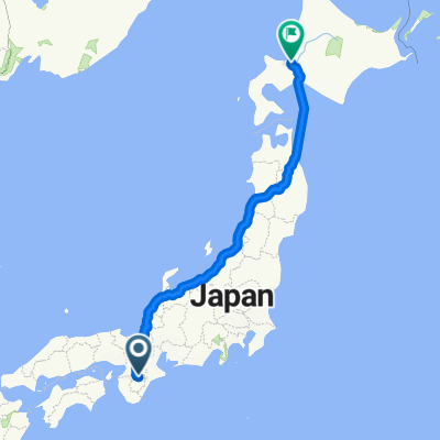
Omura to Toba
- 114.2 km
- 785 m
- 1,073 m
- Yoshino-chō, Nara, Japan

Discover a map of 32 cycling routes and bike trails near Yoshino-chō, created by our community.
Region portrait
Find the right bike route for you through Yoshino-chō, where we've got 32 cycle routes to explore.
3,058 km
Tracked distance
32
Cycle routes
8,829
Population
Community
From our community
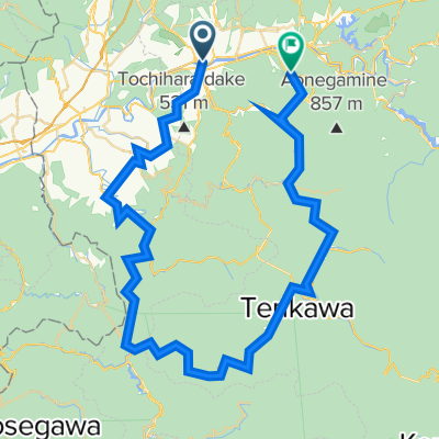
Cycling route in Yoshino-chō, Nara, Japan