
Cycling in Toyohashi
Discover a map of 32 cycling routes and bike trails near Toyohashi, created by our community.
Region portrait
Get to know Toyohashi
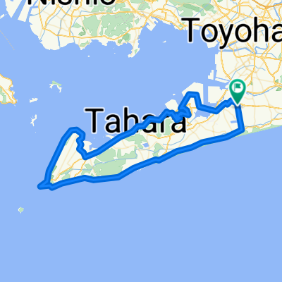
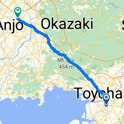
Find the right bike route for you through Toyohashi, where we've got 32 cycle routes to explore.
2,063 km
Tracked distance
32
Cycle routes
378,374
Population
From our community
The best bike routes in and around Toyohashi
Day 7 Toyohashi - Nagoya
Cycling route in Toyohashi, Aichi, Japan
- 71.7 km
- Distance
- 218 m
- Ascent
- 221 m
- Descent
Discover more routes
- 道の駅とよはし-渥美半島一周
- Distance
- 98.4 km
- Ascent
- 519 m
- Descent
- 516 m
- Location
- Toyohashi, Aichi, Japan
- Toyohashi to Ise-jingu Grand Shrine
- Distance
- 81.2 km
- Ascent
- 286 m
- Descent
- 271 m
- Location
- Toyohashi, Aichi, Japan
- Moderate route in Toyohashi-Shi
- Distance
- 48.6 km
- Ascent
- 1,028 m
- Descent
- 1,024 m
- Location
- Toyohashi, Aichi, Japan
- 豊橋〜岐阜
- Distance
- 104.2 km
- Ascent
- 338 m
- Descent
- 365 m
- Location
- Toyohashi, Aichi, Japan
- toyohasi-okadaya
- Distance
- 17.8 km
- Ascent
- 18 m
- Descent
- 28 m
- Location
- Toyohashi, Aichi, Japan
- 豊橋市〜大垣市
- Distance
- 110.7 km
- Ascent
- 509 m
- Descent
- 514 m
- Location
- Toyohashi, Aichi, Japan
- 旧東海道自転車の旅~Day 5
- Distance
- 90.7 km
- Ascent
- 202 m
- Descent
- 200 m
- Location
- Toyohashi, Aichi, Japan
- 竹島水族館行き
- Distance
- 18 km
- Ascent
- 145 m
- Descent
- 146 m
- Location
- Toyohashi, Aichi, Japan