
Cycling in Tatebayashi
Discover a map of 8 cycling routes and bike trails near Tatebayashi, created by our community.
Region portrait
Get to know Tatebayashi
Find the right bike route for you through Tatebayashi, where we've got 8 cycle routes to explore.
348 km
Tracked distance
8
Cycle routes
81,274
Population
Community
Most active users in Tatebayashi


From our community
The best bike routes in and around Tatebayashi


2016Tour-Tatebayashi-Kashiwa
Cycling route in Tatebayashi, Gunma, Japan
- 74.1 km
- Distance
- 63 m
- Ascent
- 55 m
- Descent


7-8, Nakamachi, Tatebayashi-Shi to 5-47, Honcho 2-Chōme, Tatebayashi-Shi
Cycling route in Tatebayashi, Gunma, Japan
- 61.4 km
- Distance
- 311 m
- Ascent
- 307 m
- Descent
Discover more routes
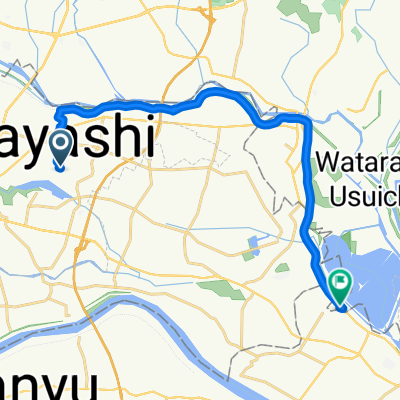
 5-20, Chiyodacho, Tatebayashi-Shi to 649-2, Yamagatacho, Sano-Shi
- Distance
- 18.2 km
- Ascent
- 115 m
- Descent
- 92 m
- Location
- Tatebayashi, Gunma, Japan
 211015 栃木街ポタ
- Distance
- 83.6 km
- Ascent
- 179 m
- Descent
- 196 m
- Location
- Tatebayashi, Gunma, Japan
 407−1 まで941−16
- Distance
- 18.5 km
- Ascent
- 38 m
- Descent
- 38 m
- Location
- Tatebayashi, Gunma, Japan
 De Tatebayashi a Tatebayashi
- Distance
- 3.9 km
- Ascent
- 4 m
- Descent
- 7 m
- Location
- Tatebayashi, Gunma, Japan