


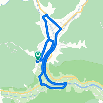
776−4, 南伊豆町 to 776−13, 南伊豆町
- 6.8 km
- 48 m
- 53 m
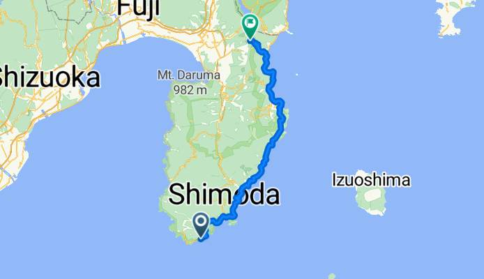
- Shimoda, Shizuoka, Japan

Discover a map of 45 cycling routes and bike trails near Shimoda, created by our community.
Region portrait
Find the right bike route for you through Shimoda, where we've got 45 cycle routes to explore. Most people get on their bikes to ride here in the month of October.
2,358 km
Tracked distance
45
Cycle routes
26,704
Population
Community
From our community
Cycling route in Shimoda, Shizuoka, Japan
Cycling route in Shimoda, Shizuoka, Japan


