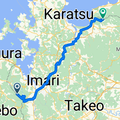
Cycling in Saga Prefecture
Discover a map of 67 cycling routes and bike trails in Saga Prefecture, created by our community.
Region portrait
Get to know Saga Prefecture
Find the right bike route for you through Saga Prefecture, where we've got 67 cycle routes to explore. Most people get on their bikes to ride here in the month of August.
3,990 km
Tracked distance
67
Cycle routes
Community
Most active users in Saga Prefecture
From our community
The best bike routes in Saga Prefecture
Karatsu - Fukuoka
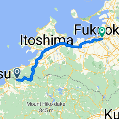
Cycling route in Karatsu, Saga Prefecture, Japan
- 49.9 km
- Distance
- 860 m
- Ascent
- 1,184 m
- Descent
Discover more routes
唐津~佐世保- Distance
- 103.8 km
- Ascent
- 1,600 m
- Descent
- 1,597 m
- Location
- Karatsu, Saga Prefecture, Japan
Saga - Isahaya- Distance
- 78.7 km
- Ascent
- 1,688 m
- Descent
- 1,691 m
- Location
- Saga, Saga Prefecture, Japan
Day 1 從佐賀機場到海濱飯店 島原的路線- Distance
- 72.4 km
- Ascent
- 8 m
- Descent
- 10 m
- Location
- Ōkawa, Saga Prefecture, Japan
伊万里市黒川町- Distance
- 7.1 km
- Ascent
- 155 m
- Descent
- 152 m
- Location
- Imarichō-kō, Saga Prefecture, Japan
九州行Day2- Distance
- 82 km
- Ascent
- 1,236 m
- Descent
- 1,231 m
- Location
- Takeo, Saga Prefecture, Japan
Hakata- Distance
- 61.7 km
- Ascent
- 116 m
- Descent
- 110 m
- Location
- Saga, Saga Prefecture, Japan
Kusenbu- Distance
- 11.9 km
- Ascent
- 879 m
- Descent
- 91 m
- Location
- Tosu, Saga Prefecture, Japan
Moderate route in Takeo-Shi- Distance
- 7.8 km
- Ascent
- 111 m
- Descent
- 114 m
- Location
- Takeo, Saga Prefecture, Japan
Cycling regions in Saga Prefecture
Karatsu
13 cycling routes
Ureshinomachi-shimojuku
1 cycling route
Tosu
3 cycling routes
Takeo
8 cycling routes
Imarichō-kō
6 cycling routes
See where people are biking in Japan


