
Cycling in Kitahama
Discover a map of 71 cycling routes and bike trails near Kitahama, created by our community.
Region portrait
Get to know Kitahama
Find the right bike route for you through Kitahama, where we've got 71 cycle routes to explore. Most people get on their bikes to ride here in the month of July.
3,819 km
Tracked distance
71
Cycle routes
23,836
Population
Community
Most active users in Kitahama


From our community
The best bike routes in and around Kitahama

Biwa Part 1
Cycling route in Kitahama, Shiga Prefecture, Japan
- 150.9 km
- Distance
- 242 m
- Ascent
- 227 m
- Descent


2876-1, Imahamacho, Moriyama-Shi to Sazanami-kaido Street, Moriyama-Shi
Cycling route in Kitahama, Shiga Prefecture, Japan
- 70 km
- Distance
- 648 m
- Ascent
- 648 m
- Descent

道路, 守山市 to 2丁目 18, 大津市
Cycling route in Kitahama, Shiga Prefecture, Japan
- 114.9 km
- Distance
- 39 m
- Ascent
- 59 m
- Descent
Discover more routes
 白鬚神舍,宇治橋,平等院,京都車站。
- Distance
- 68.6 km
- Ascent
- 236 m
- Descent
- 295 m
- Location
- Kitahama, Shiga Prefecture, Japan
 水保町1369-1, 守山市 to 江頭町627-9, 近江八幡市
- Distance
- 15.5 km
- Ascent
- 119 m
- Descent
- 120 m
- Location
- Kitahama, Shiga Prefecture, Japan
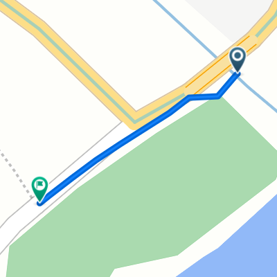
 From hostel to Shirahige Shrine
- Distance
- 8 km
- Ascent
- 21 m
- Descent
- 20 m
- Location
- Kitahama, Shiga Prefecture, Japan
 lake biwa
- Distance
- 72.1 km
- Ascent
- 187 m
- Descent
- 155 m
- Location
- Kitahama, Shiga Prefecture, Japan
 Lake Biwa Time Trial
- Distance
- 39 km
- Ascent
- 266 m
- Descent
- 270 m
- Location
- Kitahama, Shiga Prefecture, Japan
 Katsuno, Takashima to Biwaichi, Takashima
- Distance
- 0.5 km
- Ascent
- 11 m
- Descent
- 11 m
- Location
- Kitahama, Shiga Prefecture, Japan
 今浜町, 守山市 to 新浜町440-1, 草津市
- Distance
- 170.5 km
- Ascent
- 924 m
- Descent
- 921 m
- Location
- Kitahama, Shiga Prefecture, Japan
 志賀駅, 大津市 to 志賀駅, 大津市
- Distance
- 148.3 km
- Ascent
- 131 m
- Descent
- 168 m
- Location
- Kitahama, Shiga Prefecture, Japan