
Cycling in Hamakita
Discover a map of 158 cycling routes and bike trails near Hamakita, created by our community.
Region portrait
Get to know Hamakita
Find the right bike route for you through Hamakita, where we've got 158 cycle routes to explore. Most people get on their bikes to ride here in the months of March and April.
17,170 km
Tracked distance
158
Cycle routes
86,502
Population
Community
Most active users in Hamakita


From our community
The best bike routes in and around Hamakita


Discover more routes
 浜北-福田漁港
- Distance
- 68.3 km
- Ascent
- 79 m
- Descent
- 79 m
- Location
- Hamakita, Shizuoka, Japan
 浜北-浜北森林公園
- Distance
- 17.7 km
- Ascent
- 178 m
- Descent
- 175 m
- Location
- Hamakita, Shizuoka, Japan
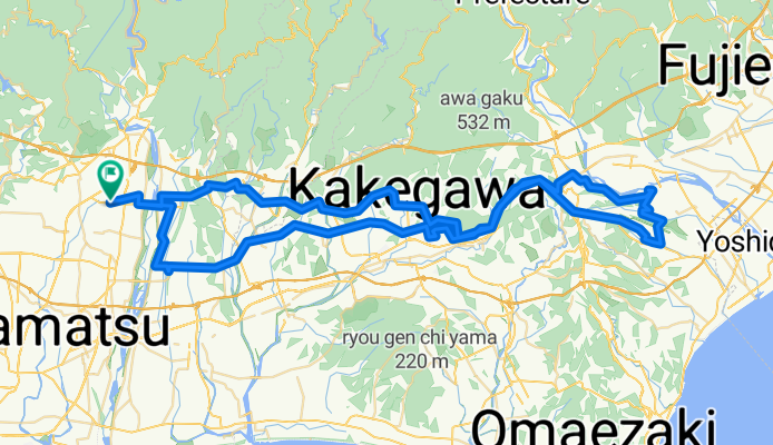
 浜北-豊岡、良泉寺
- Distance
- 33.3 km
- Ascent
- 656 m
- Descent
- 653 m
- Location
- Hamakita, Shizuoka, Japan
 浜北-豊岡(20km)
- Distance
- 19.9 km
- Ascent
- 110 m
- Descent
- 109 m
- Location
- Hamakita, Shizuoka, Japan
 浜北-油山寺、可睡斎、法多山
- Distance
- 55.6 km
- Ascent
- 340 m
- Descent
- 341 m
- Location
- Hamakita, Shizuoka, Japan
 浜北-三河湖(羽布ダム)
- Distance
- 159.7 km
- Ascent
- 1,322 m
- Descent
- 1,322 m
- Location
- Hamakita, Shizuoka, Japan
 浜北-桜咲く学校
- Distance
- 60.1 km
- Ascent
- 482 m
- Descent
- 480 m
- Location
- Hamakita, Shizuoka, Japan
 浜北-天竜川河口
- Distance
- 49.5 km
- Ascent
- 133 m
- Descent
- 130 m
- Location
- Hamakita, Shizuoka, Japan