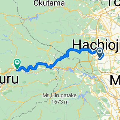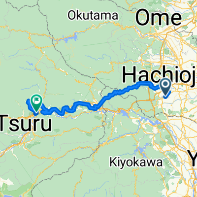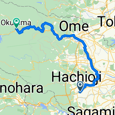


東浅川町, 八王子市へ川野, 奥多摩町
- 47.9 km
- 2,468 m
- 2,068 m
- Hachiōji, Tokyo, Japan

Find the right bike route for you through Hachiōji, where we've got 226 cycle routes to explore. Most people get on their bikes to ride here in the months of September and October.
Tracked distance
Cycle routes
Population
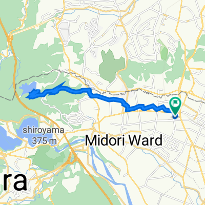
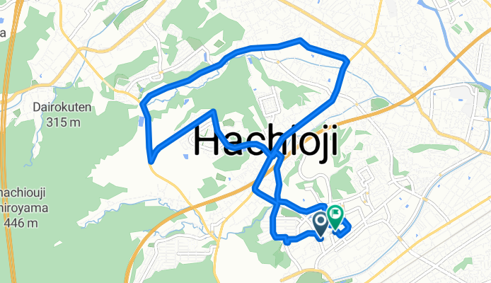
Cycling route in Hachiōji, Tokyo, Japan
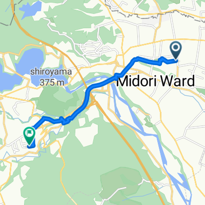
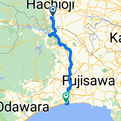
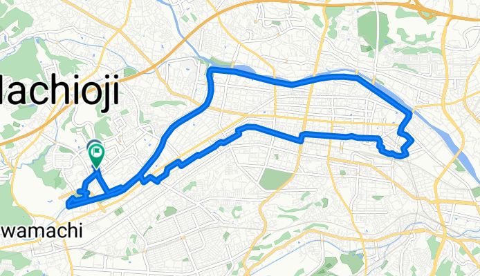
Cycling route in Hachiōji, Tokyo, Japan