

近江八幡市 - 大阪市
- 109.2 km
- 487 m
- 557 m
- Ōmihachiman, Shiga Prefecture, Japan

Discover a map of 39 cycling routes and bike trails near Ōmihachiman, created by our community.
Region portrait
Find the right bike route for you through Ōmihachiman, where we've got 39 cycle routes to explore.
2,406 km
Tracked distance
39
Cycle routes
69,189
Population
Community
From our community
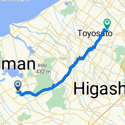
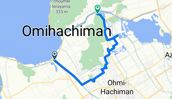
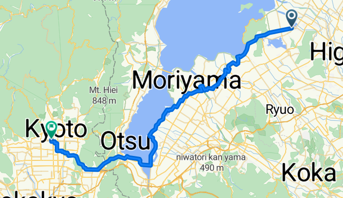
Cycling route in Ōmihachiman, Shiga Prefecture, Japan
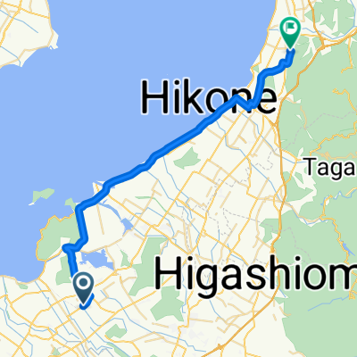
Cycling route in Ōmihachiman, Shiga Prefecture, Japan
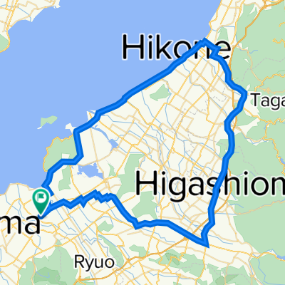
Cycling route in Ōmihachiman, Shiga Prefecture, Japan
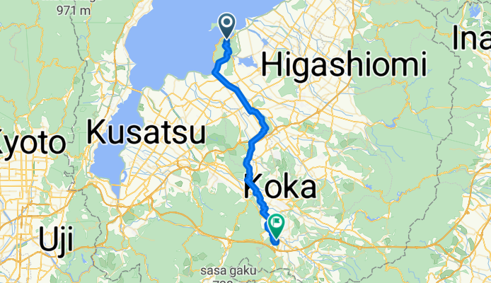
Cycling route in Ōmihachiman, Shiga Prefecture, Japan