
Cycling in Gamagōri
Discover a map of 24 cycling routes and bike trails near Gamagōri, created by our community.
Region portrait
Get to know Gamagōri
Find the right bike route for you through Gamagōri, where we've got 24 cycle routes to explore.
1,313 km
Tracked distance
24
Cycle routes
80,786
Population
Community
Most active users in Gamagōri


From our community
The best bike routes in and around Gamagōri


Discover more routes
 De Okusa Dan, Kota-Cho, Nukata-Gun a Ogi Kiriiwa, Kota-Cho, Nukata-Gun
- Distance
- 0.6 km
- Ascent
- 198 m
- Descent
- 100 m
- Location
- Gamagōri, Aichi, Japan
 1_4_GAMAGIRI_HAMAMATSU_56km_150m
- Distance
- 55.8 km
- Ascent
- 164 m
- Descent
- 153 m
- Location
- Gamagōri, Aichi, Japan
 Rota supersônica em Nishio-Shi
- Distance
- 25.6 km
- Ascent
- 0 m
- Descent
- 3 m
- Location
- Gamagōri, Aichi, Japan
 Gamagori_Hamatsu
- Distance
- 53.3 km
- Ascent
- 140 m
- Descent
- 119 m
- Location
- Gamagōri, Aichi, Japan
 56, Miyakitadori 1-Chōme, Gamagori to 4-2, Taharacho Kamihachiken-ya, Tahara
- Distance
- 53.6 km
- Ascent
- 709 m
- Descent
- 699 m
- Location
- Gamagōri, Aichi, Japan
 Ogurimi, Gamagori to 1, Gamagori
- Distance
- 5.6 km
- Ascent
- 6 m
- Descent
- 89 m
- Location
- Gamagōri, Aichi, Japan
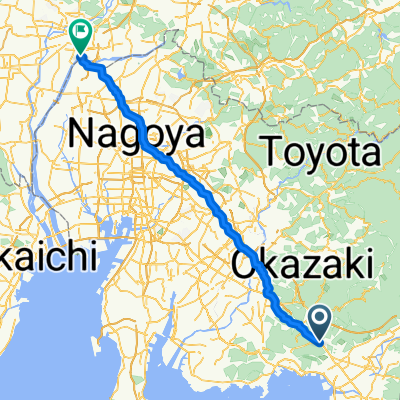
 Ushiro, Kota to 1-chōme 2, Okazaki
- Distance
- 12.3 km
- Ascent
- 73 m
- Descent
- 69 m
- Location
- Gamagōri, Aichi, Japan
 Gamagōri - Kasamatsuchō
- Distance
- 92.4 km
- Ascent
- 606 m
- Descent
- 649 m
- Location
- Gamagōri, Aichi, Japan