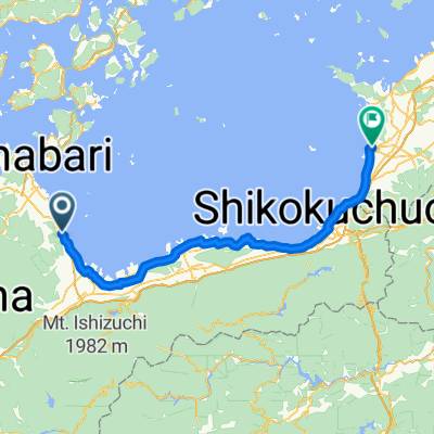


Chikoku
- 129.4 km
- 522 m
- 518 m
- Saijō, Ehime, Japan

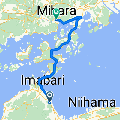
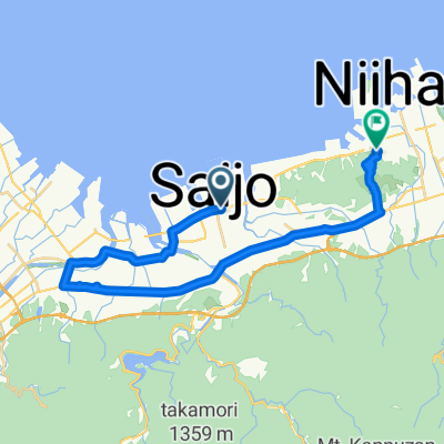
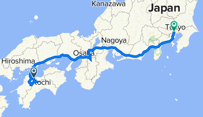
Discover a map of 40 cycling routes and bike trails near Saijō, created by our community.
Region portrait
Find the right bike route for you through Saijō, where we've got 40 cycle routes to explore.
3,905 km
Tracked distance
40
Cycle routes
58,823
Population
Community
From our community