Cycling in Aguadulce
Discover a map of 525 cycling routes and bike trails near Aguadulce, created by our community.
Region portrait
Get to know Aguadulce
Find the right bike route for you through Aguadulce, where we've got 525 cycle routes to explore. Most people get on their bikes to ride here in the months of March and May.
30,569 km
Tracked distance
525
Cycle routes
13,886
Population
Community
Most active users in Aguadulce
From our community
The best bike routes in and around Aguadulce
2ª QDD BTT EL PARADOR
Cycling route in Aguadulce, Andalusia, Spain
- 31.2 km
- Distance
- 812 m
- Ascent
- 812 m
- Descent
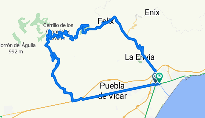
PARADOR-TARTEL-CARCAUZ-FELIX
Cycling route in Aguadulce, Andalusia, Spain
- 52.3 km
- Distance
- 1,383 m
- Ascent
- 1,380 m
- Descent
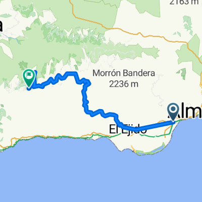
GRAN RUTA Roquetas-Alpujarra
Cycling route in Aguadulce, Andalusia, Spain
- 133 km
- Distance
- 2,240 m
- Ascent
- 2,242 m
- Descent
Discover more routes
 G.R. Día de Andalucía 2014
- Distance
- 150.7 km
- Ascent
- 3,017 m
- Descent
- 3,012 m
- Location
- Aguadulce, Andalusia, Spain
 Parador-Berja-Berchules-Trevelz-Busquístar
- Distance
- 124.1 km
- Ascent
- 4,524 m
- Descent
- 3,409 m
- Location
- Aguadulce, Andalusia, Spain
 EL PARADOR-MARCHAL-CHANATA
- Distance
- 18.8 km
- Ascent
- 1,166 m
- Descent
- 120 m
- Location
- Aguadulce, Andalusia, Spain
 AGUADULCE-FELIX-Peñón de BERNAL
- Distance
- 38.8 km
- Ascent
- 909 m
- Descent
- 907 m
- Location
- Aguadulce, Andalusia, Spain
 Aguadulce-Casa
- Distance
- 101 km
- Ascent
- 1,272 m
- Descent
- 878 m
- Location
- Aguadulce, Andalusia, Spain
 ERMITA HUÉCIJA - CHANATA
- Distance
- 74.2 km
- Ascent
- 1,664 m
- Descent
- 1,667 m
- Location
- Aguadulce, Andalusia, Spain
 NOCTURNA: TARTEL-FELIX-PERROS
- Distance
- 59.3 km
- Ascent
- 1,366 m
- Descent
- 1,363 m
- Location
- Aguadulce, Andalusia, Spain
 LA QUEBRANTAHUESOS DEL SUR
- Distance
- 200 km
- Ascent
- 3,174 m
- Descent
- 3,176 m
- Location
- Aguadulce, Andalusia, Spain


