
Cycling in Whittingham
Discover a map of 31 cycling routes and bike trails near Whittingham, created by our community.
Region portrait
Get to know Whittingham
Find the right bike route for you through Whittingham, where we've got 31 cycle routes to explore. Most people get on their bikes to ride here in the month of March.
2,336 km
Tracked distance
31
Cycle routes
From our community
The best bike routes in and around Whittingham
Powburn lowlands training run
Cycling route in Whittingham, England, United Kingdom
Nice and easy..
- 21.9 km
- Distance
- 244 m
- Ascent
- 240 m
- Descent
One way a possible alternative to NCN route 68, the return..by route 68
Cycling route in Whittingham, England, United Kingdom
Mostly minor tarmac roads, double track farm tracks and old country roads, surfaces OK Very few technical challenges, or mud! Much of it courtesy Derek Purdy of "Northumberland Mountain Bike Guide" fame
- 18 km
- Distance
- 277 m
- Ascent
- 251 m
- Descent
Ingram Prendwick Chesters circuit
Cycling route in Whittingham, England, United Kingdom
A stiff ride, with some muddy bits and a ford or two to negotiate.
- 18.1 km
- Distance
- 401 m
- Ascent
- 398 m
- Descent
Prendwick to Ingram a possible off road braid for NCN route 68
Cycling route in Whittingham, England, United Kingdom
This route misses out the A697, but does involve a stiff climb on a very poorly maintained (for cycles and none 4*4's) track. In my opinion it's a valid alternative as it passes a good example of an iron age hill fort, and has a nice exhilarating downhill to Ingram, with great (Doddington's) ice
- 5.3 km
- Distance
- 138 m
- Ascent
- 177 m
- Descent
Discover more routes
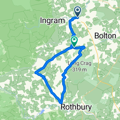
- Ingram Prendwick road to the hill fort and back via the duck pond
- Distance
- 8.1 km
- Ascent
- 237 m
- Descent
- 237 m
- Location
- Whittingham, England, United Kingdom
- Behemoth2019
- Distance
- 71.1 km
- Ascent
- 1,167 m
- Descent
- 1,168 m
- Location
- Whittingham, England, United Kingdom
- Conrad's Ingram Hill short training run
- Distance
- 5.6 km
- Ascent
- 131 m
- Descent
- 128 m
- Location
- Whittingham, England, United Kingdom
- Alnwick circular ride
- Distance
- 37.9 km
- Ascent
- 510 m
- Descent
- 566 m
- Location
- Whittingham, England, United Kingdom
- glanton r68 coast loop
- Distance
- 127.8 km
- Ascent
- 1,330 m
- Descent
- 1,320 m
- Location
- Whittingham, England, United Kingdom
- ThroptonLoop
- Distance
- 34.8 km
- Ascent
- 411 m
- Descent
- 422 m
- Location
- Whittingham, England, United Kingdom
- Powburn to A68
- Distance
- 36.6 km
- Ascent
- 529 m
- Descent
- 365 m
- Location
- Whittingham, England, United Kingdom
- Route to Gibbs Hill View, Glanton Road, Alnwick
- Distance
- 14.2 km
- Ascent
- 139 m
- Descent
- 139 m
- Location
- Whittingham, England, United Kingdom