
Cycling in Warminster
Discover a map of 68 cycling routes and bike trails near Warminster, created by our community.
Region portrait
Get to know Warminster
Find the right bike route for you through Warminster, where we've got 68 cycle routes to explore. Most people get on their bikes to ride here in the month of August.
3,348 km
Tracked distance
68
Cycle routes
17,875
Population
Community
Most active users in Warminster


From our community
The best bike routes in and around Warminster

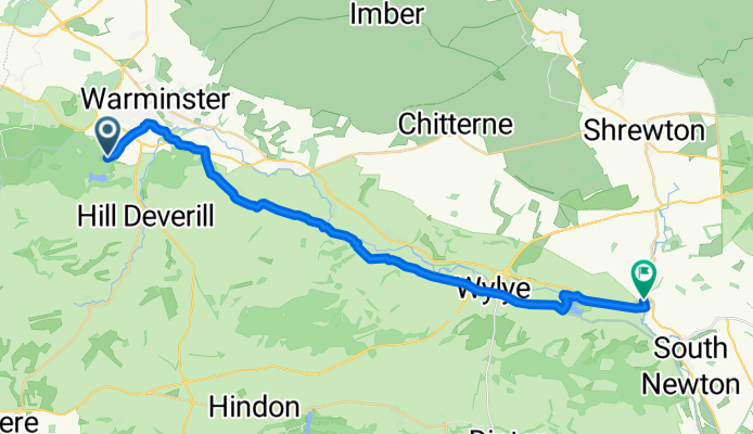
Recovered Route
Cycling route in Warminster, England, United Kingdom
- 19.7 km
- Distance
- 232 m
- Ascent
- 230 m
- Descent
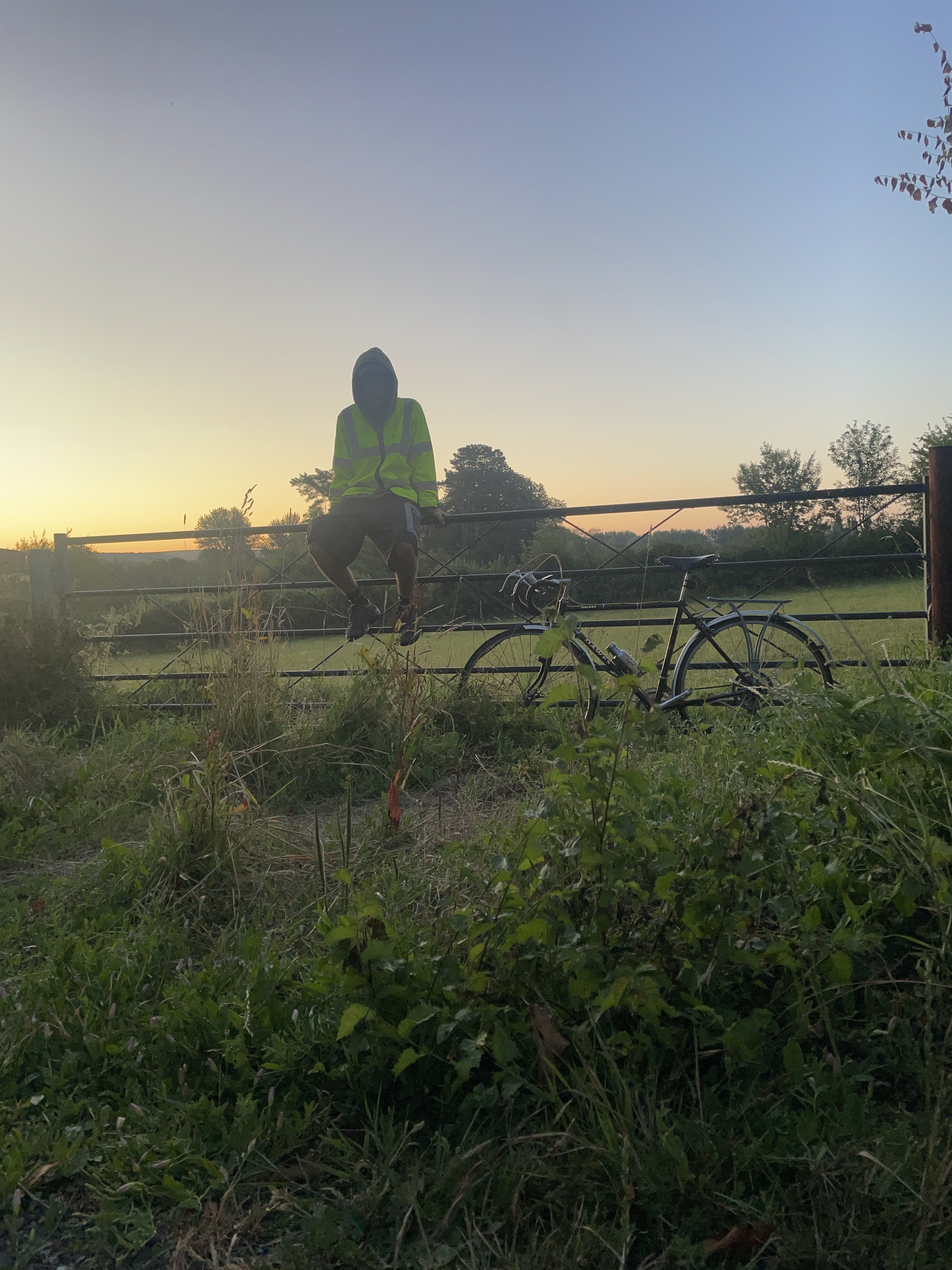
Bucklers Screen, Warminster to Over Street, Salisbury
Cycling route in Warminster, England, United Kingdom
- 27.2 km
- Distance
- 267 m
- Ascent
- 396 m
- Descent

Route in Warminster
Cycling route in Warminster, England, United Kingdom
- 13 km
- Distance
- 126 m
- Ascent
- 128 m
- Descent

on-road gare hill loop
Cycling route in Warminster, England, United Kingdom
- 50.9 km
- Distance
- 531 m
- Ascent
- 529 m
- Descent
Discover more routes
 warminster on-road to salisbury catherderal
- Distance
- 35.2 km
- Ascent
- 89 m
- Descent
- 156 m
- Location
- Warminster, England, United Kingdom
 warminster on-road to eastleigh
- Distance
- 74.4 km
- Ascent
- 186 m
- Descent
- 289 m
- Location
- Warminster, England, United Kingdom
 Shearwater loop
- Distance
- 69.9 km
- Ascent
- 605 m
- Descent
- 605 m
- Location
- Warminster, England, United Kingdom
 warminster on-road to pilton
- Distance
- 40.1 km
- Ascent
- 324 m
- Descent
- 372 m
- Location
- Warminster, England, United Kingdom
 Day 12b Warminster to Sherborne
- Distance
- 47 km
- Ascent
- 338 m
- Descent
- 388 m
- Location
- Warminster, England, United Kingdom
 33 Bradley Road, Warminster to 33 Bradley Road, Warminster
- Distance
- 15 km
- Ascent
- 312 m
- Descent
- 307 m
- Location
- Warminster, England, United Kingdom
 warminster off-road to chitterne
- Distance
- 15.8 km
- Ascent
- 273 m
- Descent
- 289 m
- Location
- Warminster, England, United Kingdom
 Day 4 Botony - Chew Magna
- Distance
- 44.1 km
- Ascent
- 401 m
- Descent
- 519 m
- Location
- Warminster, England, United Kingdom