
Cycling in Swallowfield
Discover a map of 26 cycling routes and bike trails near Swallowfield, created by our community.
Region portrait
Get to know Swallowfield
Find the right bike route for you through Swallowfield, where we've got 26 cycle routes to explore.
1,327 km
Tracked distance
26
Cycle routes
Community
Most active users in Swallowfield


From our community
The best bike routes in and around Swallowfield

Lamb's Lane to Lamb's Lane
Cycling route in Swallowfield, England, United Kingdom
- 50.6 km
- Distance
- 407 m
- Ascent
- 399 m
- Descent

kennet valley 200
Cycling route in Swallowfield, England, United Kingdom
- 205.5 km
- Distance
- 453 m
- Ascent
- 453 m
- Descent

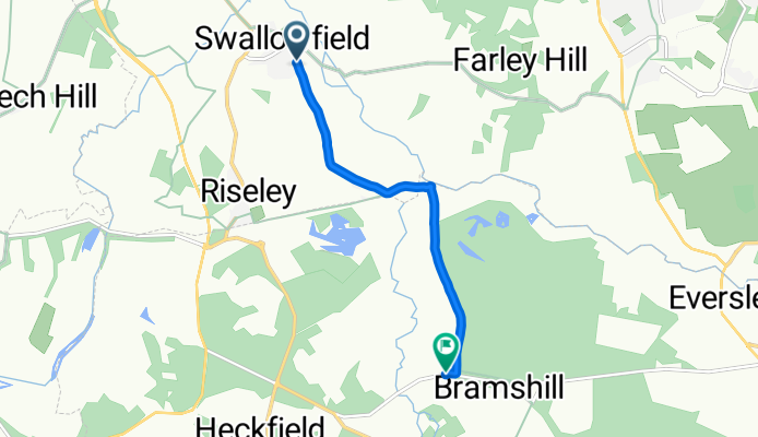
Swallowfield to derelict pub
Cycling route in Swallowfield, England, United Kingdom
- 4.7 km
- Distance
- 3 m
- Ascent
- 33 m
- Descent
Discover more routes
 Grazeley Audax Shortened
- Distance
- 82.2 km
- Ascent
- 296 m
- Descent
- 298 m
- Location
- Swallowfield, England, United Kingdom
 Spencers Wood Library, Basingstoke Road, Reading to A329, Reading
- Distance
- 7.9 km
- Ascent
- 0 m
- Descent
- 20 m
- Location
- Swallowfield, England, United Kingdom
 Grazeley Audax ~100km
- Distance
- 97.8 km
- Ascent
- 349 m
- Descent
- 349 m
- Location
- Swallowfield, England, United Kingdom
 Moderate route in Basingstoke
- Distance
- 13.6 km
- Ascent
- 517 m
- Descent
- 507 m
- Location
- Swallowfield, England, United Kingdom
 Welsh Lane naar Church Street 17
- Distance
- 29.8 km
- Ascent
- 272 m
- Descent
- 241 m
- Location
- Swallowfield, England, United Kingdom
 School Lane 3, Riseley to Houlton Court 10
- Distance
- 51.9 km
- Ascent
- 177 m
- Descent
- 205 m
- Location
- Swallowfield, England, United Kingdom
 C9 Hq
C9 Hq- Distance
- 14.1 km
- Ascent
- 80 m
- Descent
- 71 m
- Location
- Swallowfield, England, United Kingdom
 Foxborough 11, Swallowfield to Coopers Lane 9, Bramley
- Distance
- 18.5 km
- Ascent
- 129 m
- Descent
- 110 m
- Location
- Swallowfield, England, United Kingdom