Cycling in Stroud
Discover a map of 178 cycling routes and bike trails near Stroud, created by our community.
Region portrait
Get to know Stroud
Find the right bike route for you through Stroud, where we've got 178 cycle routes to explore. Most people get on their bikes to ride here in the months of April and June.
10,324 km
Tracked distance
178
Cycle routes
30,600
Population
Community
Most active users in Stroud
Handpicked routes
Discover Stroud through these collections
Tour
From our community
The best bike routes in and around Stroud
Albert to Nailsworth - 8 miles
Cycling route in Stroud, England, United Kingdom
- 13.5 km
- Distance
- 195 m
- Ascent
- 194 m
- Descent
40+ mile loop of Stroud via Slad, Sapperton, Cherrington, Chavenage, Kingscote, Owlpen, Uley, Coaley, Frocester, The Stanleys, Selsley & return
Cycling route in Stroud, England, United Kingdom
- 68.2 km
- Distance
- 668 m
- Ascent
- 673 m
- Descent
Whiteshill to Arlingham peninsula, Severn Vale & back
Cycling route in Stroud, England, United Kingdom
- 62.3 km
- Distance
- 265 m
- Ascent
- 270 m
- Descent
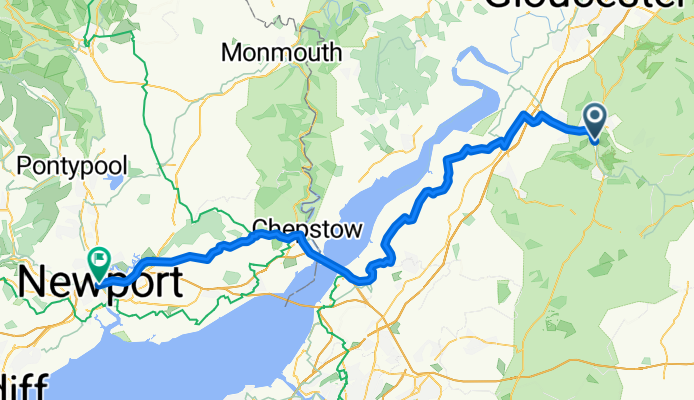
The Mill Pond, Stroud to Queensway, Newport
Cycling route in Stroud, England, United Kingdom
- 76.7 km
- Distance
- 586 m
- Ascent
- 622 m
- Descent
Discover more routes
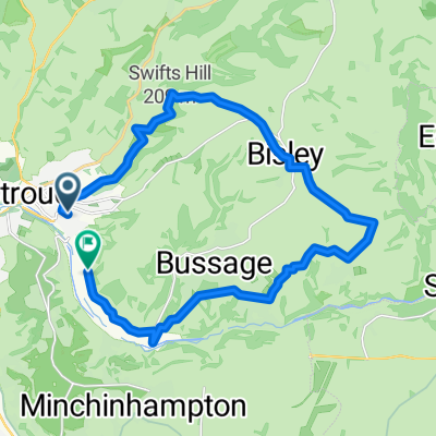
 Bowbridge - Bisley - Chalford - and back
- Distance
- 19.3 km
- Ascent
- 399 m
- Descent
- 400 m
- Location
- Stroud, England, United Kingdom
 Painswick Haresfield loop
- Distance
- 22.8 km
- Ascent
- 488 m
- Descent
- 486 m
- Location
- Stroud, England, United Kingdom
 Day 2 2018
- Distance
- 70.6 km
- Ascent
- 445 m
- Descent
- 354 m
- Location
- Stroud, England, United Kingdom
 day 3 2018
- Distance
- 73.7 km
- Ascent
- 183 m
- Descent
- 177 m
- Location
- Stroud, England, United Kingdom
 Whiteshill to Nailsworth, Avening, Cherrington, Sapperton, Duntisbourne Abbotts, Winstone, Syde, Brimpsfield, Birdlip, Bulls Cross & home
- Distance
- 55.5 km
- Ascent
- 496 m
- Descent
- 499 m
- Location
- Stroud, England, United Kingdom
 Whiteshill to Bisley - Chalford loop
- Distance
- 33.6 km
- Ascent
- 390 m
- Descent
- 385 m
- Location
- Stroud, England, United Kingdom
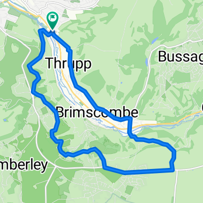
 Bowbridge-Minch
- Distance
- 12.1 km
- Ascent
- 246 m
- Descent
- 246 m
- Location
- Stroud, England, United Kingdom
 Whiteshill to Gloucester via Stonehouse, Standish, Epney, canal path to docks & cathedral, Hardwicke Stonehouse, Ruscombe & return
- Distance
- 57.9 km
- Ascent
- 288 m
- Descent
- 332 m
- Location
- Stroud, England, United Kingdom


