
Cycling in Strensall
Discover a map of 23 cycling routes and bike trails near Strensall, created by our community.
Region portrait
Get to know Strensall
Find the right bike route for you through Strensall, where we've got 23 cycle routes to explore.
923 km
Tracked distance
23
Cycle routes
5,601
Population
Community
Most active users in Strensall


From our community
The best bike routes in and around Strensall

Riverside Walk 8, Strensall to Riverside Walk 6, Strensall
Cycling route in Strensall, England, United Kingdom
- 6.9 km
- Distance
- 9 m
- Ascent
- 59 m
- Descent

Riverside Walk 4, Strensall to Riverside Walk 8, Strensall
Cycling route in Strensall, England, United Kingdom
- 11.7 km
- Distance
- 9 m
- Ascent
- 55 m
- Descent

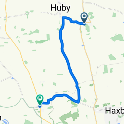
Strensall to Wheldrake
Cycling route in Strensall, England, United Kingdom
- 28.9 km
- Distance
- 49 m
- Ascent
- 51 m
- Descent

Discover more routes
 Strensall - Oswaldkirk
- Distance
- 62.7 km
- Ascent
- 349 m
- Descent
- 351 m
- Location
- Strensall, England, United Kingdom
 Unnamed Road to Potter Hill 17
- Distance
- 40.6 km
- Ascent
- 342 m
- Descent
- 334 m
- Location
- Strensall, England, United Kingdom
 Pinewoods, Main Street, York to Springfield, Main Street, York
- Distance
- 11.6 km
- Ascent
- 12 m
- Descent
- 22 m
- Location
- Strensall, England, United Kingdom
 15 Terrington Ct, York to Blythe Farm, 66 Main St, York
- Distance
- 30.2 km
- Ascent
- 52 m
- Descent
- 53 m
- Location
- Strensall, England, United Kingdom
 17 Barley Rise, York to 17 Barley Rise, York
- Distance
- 13.7 km
- Ascent
- 29 m
- Descent
- 39 m
- Location
- Strensall, England, United Kingdom
 Castle Howard 24 miles
- Distance
- 39.4 km
- Ascent
- 425 m
- Descent
- 425 m
- Location
- Strensall, England, United Kingdom
 Sheriff Hutton - Easingwold Loop
- Distance
- 44.7 km
- Ascent
- 509 m
- Descent
- 519 m
- Location
- Strensall, England, United Kingdom
 A64, York to 15 Water End, York
- Distance
- 16.9 km
- Ascent
- 60 m
- Descent
- 86 m
- Location
- Strensall, England, United Kingdom