
Cycling in Standon
Discover a map of 17 cycling routes and bike trails near Standon, created by our community.
Region portrait
Get to know Standon
Find the right bike route for you through Standon, where we've got 17 cycle routes to explore.
1,117 km
Tracked distance
17
Cycle routes
3,429
Population
Community
Most active users in Standon


From our community
The best bike routes in and around Standon

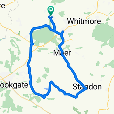
Swynners Woore
Cycling route in Standon, England, United Kingdom
50 miles
(cloned from route 2254988)
- 80.4 km
- Distance
- 351 m
- Ascent
- 358 m
- Descent

Norbury Junction
Cycling route in Standon, England, United Kingdom
Swynnerton, Eccleshall, Bishops Offley, Norbury, Gnosall, Ellenhall, Swynnerton
- 54.1 km
- Distance
- 252 m
- Ascent
- 252 m
- Descent

Swynnerton to Woore
Cycling route in Standon, England, United Kingdom
Swynnerton-Eccleshall-Loggerheads-Drayton-Nantwich-Madeley-Woore
- 70.9 km
- Distance
- 301 m
- Ascent
- 305 m
- Descent

LEJOG Day 6
Cycling route in Standon, England, United Kingdom
Loggerheads to St. Annes
- 159.8 km
- Distance
- 317 m
- Ascent
- 524 m
- Descent
Discover more routes
 Church Road, Market Drayton to 118 Foley Road, Stoke-on-Trent
- Distance
- 24.8 km
- Ascent
- 210 m
- Descent
- 230 m
- Location
- Standon, England, United Kingdom
 Park Wood Drive, Newcastle to Park Wood Drive, Newcastle
- Distance
- 32.4 km
- Ascent
- 318 m
- Descent
- 320 m
- Location
- Standon, England, United Kingdom
 Blithfield
- Distance
- 96.5 km
- Ascent
- 414 m
- Descent
- 411 m
- Location
- Standon, England, United Kingdom
 Recovered Route
- Distance
- 35.2 km
- Ascent
- 431 m
- Descent
- 427 m
- Location
- Standon, England, United Kingdom
 Springfields, Wesleyan Road, Market Drayton to 15 Welby St, Stoke-On-Trent
- Distance
- 18.5 km
- Ascent
- 172 m
- Descent
- 226 m
- Location
- Standon, England, United Kingdom
 Swynners Woore
- Distance
- 80.3 km
- Ascent
- 340 m
- Descent
- 347 m
- Location
- Standon, England, United Kingdom
 Park Wood Drive, Newcastle to Park Wood Drive, Newcastle
- Distance
- 26.1 km
- Ascent
- 350 m
- Descent
- 340 m
- Location
- Standon, England, United Kingdom
 Swynners to penkridge
- Distance
- 60.9 km
- Ascent
- 394 m
- Descent
- 451 m
- Location
- Standon, England, United Kingdom