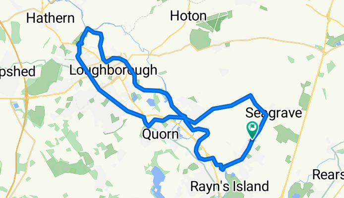
Cycling in Sileby
Discover a map of 42 cycling routes and bike trails near Sileby, created by our community.
Region portrait
Get to know Sileby
Find the right bike route for you through Sileby, where we've got 42 cycle routes to explore.
932 km
Tracked distance
42
Cycle routes
7,261
Population
Community
Most active users in Sileby
From our community
The best bike routes in and around Sileby
Sileby to Loughborough and back. uses the canal tow path to return.
Cycling route in Sileby, England, United Kingdom
- 32.3 km
- Distance
- 158 m
- Ascent
- 142 m
- Descent
Charnwood block
Cycling route in Sileby, England, United Kingdom
- 17.9 km
- Distance
- 76 m
- Ascent
- 131 m
- Descent
Discover more routes
- Beers Easy Ride
- Distance
- 37.3 km
- Ascent
- 393 m
- Descent
- 393 m
- Location
- Sileby, England, United Kingdom
- 35 Highgate Road, Loughborough to 19 North Street, Leicester
- Distance
- 27.4 km
- Ascent
- 221 m
- Descent
- 219 m
- Location
- Sileby, England, United Kingdom
- Sileby to Swithland
- Distance
- 31.3 km
- Ascent
- 191 m
- Descent
- 191 m
- Location
- Sileby, England, United Kingdom
- Watermead circle
- Distance
- 8.9 km
- Ascent
- 15 m
- Descent
- 15 m
- Location
- Sileby, England, United Kingdom
- home-mountsorrel-cossington
- Distance
- 10.1 km
- Ascent
- 53 m
- Descent
- 53 m
- Location
- Sileby, England, United Kingdom
- Quick evening ride
- Distance
- 22.7 km
- Ascent
- 169 m
- Descent
- 165 m
- Location
- Sileby, England, United Kingdom
- Leg 1 of a Saturday ride, Sileby to Loughborough via Wymeswold.
- Distance
- 25.4 km
- Ascent
- 125 m
- Descent
- 168 m
- Location
- Sileby, England, United Kingdom
- 1st attempt at the charnwood block
- Distance
- 17.9 km
- Ascent
- 98 m
- Descent
- 97 m
- Location
- Sileby, England, United Kingdom