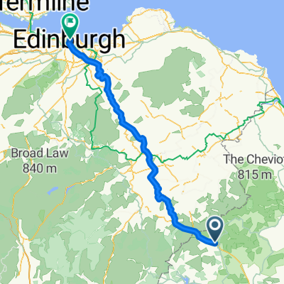
GPX Download: Kielder Water loop
- 33.6 km
- 281 m
- 283 m
- Rochester, England, United Kingdom

Discover a map of 47 cycling routes and bike trails near Rochester, created by our community.
Region portrait
Find the right bike route for you through Rochester, where we've got 47 cycle routes to explore.
2,411 km
Tracked distance
47
Cycle routes
Community
From our community
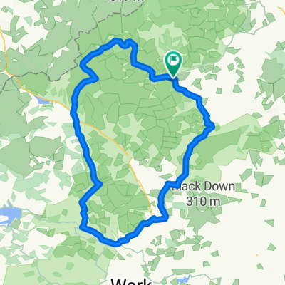
Cycling route in Rochester, England, United Kingdom
Cycling route in Rochester, England, United Kingdom
Cycling route in Rochester, England, United Kingdom
Cycling route in Rochester, England, United Kingdom