
Cycling in Pant
Discover a map of 23 cycling routes and bike trails near Pant, created by our community.
Region portrait
Get to know Pant
Find the right bike route for you through Pant, where we've got 23 cycle routes to explore.
1,158 km
Tracked distance
23
Cycle routes
1,831
Population
Community
Most active users in Pant


From our community
The best bike routes in and around Pant

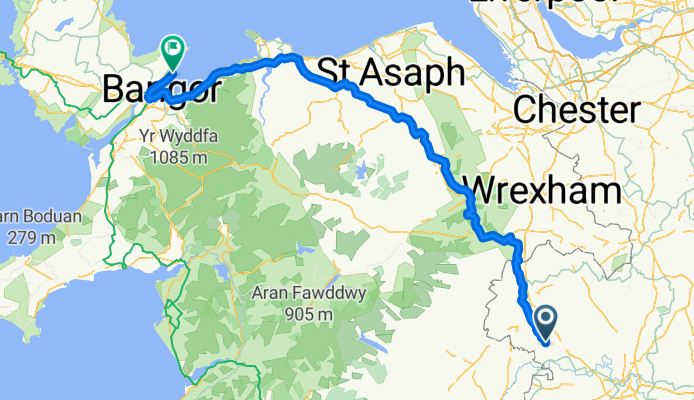
Oswestry - Horseshoe Pass
Cycling route in Pant, England, United Kingdom
- 82.9 km
- Distance
- 1,162 m
- Ascent
- 1,161 m
- Descent

A483, Oswestry to Maes Y Garreg, Penygarreg Lane, Oswestry
Cycling route in Pant, England, United Kingdom
- 13.8 km
- Distance
- 90 m
- Ascent
- 81 m
- Descent

School Road, Oswestry to 4–10 Margaret Street, Beaumaris
Cycling route in Pant, England, United Kingdom
- 142.7 km
- Distance
- 2,008 m
- Ascent
- 2,068 m
- Descent
Discover more routes
 School Road, Oswestry to School Road, Oswestry
- Distance
- 127.1 km
- Ascent
- 2,159 m
- Descent
- 2,159 m
- Location
- Pant, England, United Kingdom
 Oswestry diversion
- Distance
- 29.8 km
- Ascent
- 97 m
- Descent
- 107 m
- Location
- Pant, England, United Kingdom
 Penygarreg Rise 2, Pant to Penygarreg Rise 2, Pant
- Distance
- 16.8 km
- Ascent
- 72 m
- Descent
- 71 m
- Location
- Pant, England, United Kingdom
 bike tour through Oswestry
- Distance
- 23.2 km
- Ascent
- 92 m
- Descent
- 94 m
- Location
- Pant, England, United Kingdom
 Crick Heath Ride
- Distance
- 86.4 km
- Ascent
- 553 m
- Descent
- 553 m
- Location
- Pant, England, United Kingdom
 Route to 34 Arthur St, Oswestry
- Distance
- 6.1 km
- Ascent
- 60 m
- Descent
- 0 m
- Location
- Pant, England, United Kingdom
 Steady ride in
- Distance
- 13.3 km
- Ascent
- 60 m
- Descent
- 63 m
- Location
- Pant, England, United Kingdom
 nesscliffe and Shrewsbury
- Distance
- 53.4 km
- Ascent
- 399 m
- Descent
- 398 m
- Location
- Pant, England, United Kingdom