Manifold valley South to North 13km
- 13.4 km
- 124 m
- 126 m
- Mayfield, England, United Kingdom

Find the right bike route for you through Mayfield, where we've got 51 cycle routes to explore.
Tracked distance
Cycle routes
Population
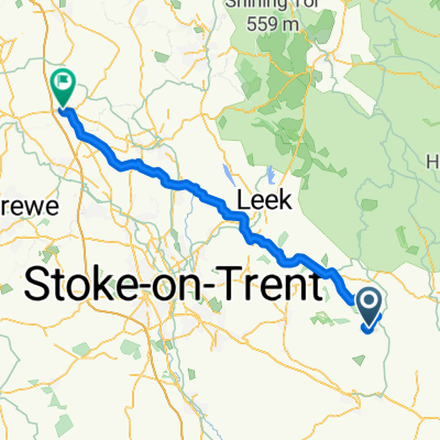
Cycling route in Mayfield, England, United Kingdom
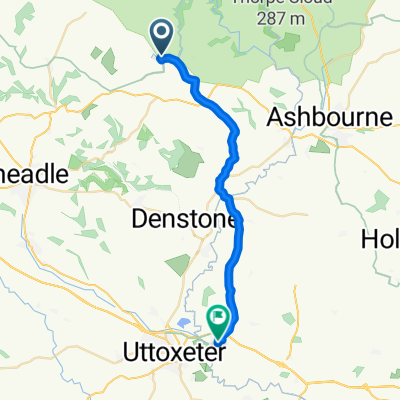
Cycling route in Mayfield, England, United Kingdom
Cycling route in Mayfield, England, United Kingdom
Cycling route in Mayfield, England, United Kingdom