Cycling in Maybole
Discover a map of 9 cycling routes and bike trails near Maybole, created by our community.
Region portrait
Get to know Maybole
Find the right bike route for you through Maybole, where we've got 9 cycle routes to explore.
487 km
Tracked distance
9
Cycle routes
4,447
Population
Community
Most active users in Maybole
From our community
The best bike routes in and around Maybole
Route England/Scotland day 8
Cycling route in Maybole, Scotland, United Kingdom
- 115.9 km
- Distance
- 471 m
- Ascent
- 528 m
- Descent
Schotland, 8 juni 2012, Maybole-Crosshouse
Cycling route in Maybole, Scotland, United Kingdom
- 84 km
- Distance
- 473 m
- Ascent
- 575 m
- Descent
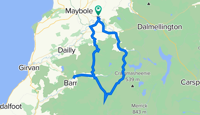
Straiton Suffer Loop
Cycling route in Maybole, Scotland, United Kingdom
- 59.8 km
- Distance
- 931 m
- Ascent
- 931 m
- Descent
Discover more routes
 55.353° N -4.772° W to 55.356° N -4.780° W
- Distance
- 17.4 km
- Ascent
- 148 m
- Descent
- 203 m
- Location
- Maybole, Scotland, United Kingdom
 B741, Maybole to B7034, Ayr
- Distance
- 14.4 km
- Ascent
- 243 m
- Descent
- 314 m
- Location
- Maybole, Scotland, United Kingdom
 47 Main Street, Girvan to 47 Main Street, Girvan
- Distance
- 152.6 km
- Ascent
- 1,861 m
- Descent
- 1,859 m
- Location
- Maybole, Scotland, United Kingdom
 Girvan and South Carrick Ward, Maybole to 40 School Vennel, Maybole
- Distance
- 6.4 km
- Ascent
- 52 m
- Descent
- 50 m
- Location
- Maybole, Scotland, United Kingdom
 St Ninians's Way- Maybole to Ayr
- Distance
- 22.3 km
- Ascent
- 342 m
- Descent
- 432 m
- Location
- Maybole, Scotland, United Kingdom


