High peak Trail East to West 23km
- 22.6 km
- 375 m
- 131 m
- Cromford, England, United Kingdom

Find the right bike route for you through Cromford, where we've got 53 cycle routes to explore. Most people get on their bikes to ride here in the month of August.
Tracked distance
Cycle routes
Population
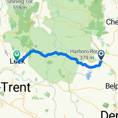
Cycling route in Cromford, England, United Kingdom


Cycling route in Cromford, England, United Kingdom
Cycling route in Cromford, England, United Kingdom