
Cycling in Chipping Norton
Discover a map of 103 cycling routes and bike trails near Chipping Norton, created by our community.
Region portrait
Get to know Chipping Norton
Find the right bike route for you through Chipping Norton, where we've got 103 cycle routes to explore. Most people get on their bikes to ride here in the months of April and July.
4,679 km
Tracked distance
103
Cycle routes
5,815
Population
Community
Most active users in Chipping Norton


From our community
The best bike routes in and around Chipping Norton


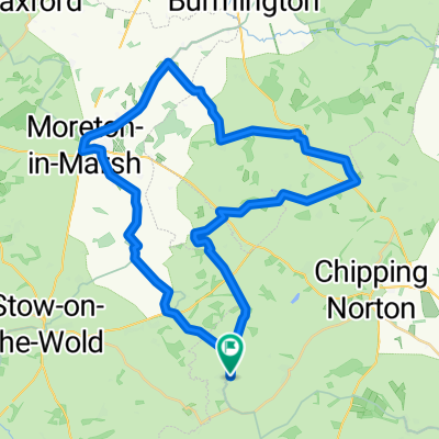
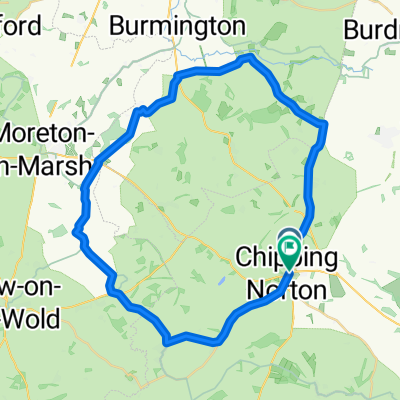
mid way pick up back to Burford
Cycling route in Chipping Norton, England, United Kingdom
- 49.3 km
- Distance
- 590 m
- Ascent
- 644 m
- Descent

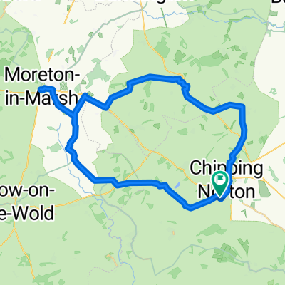
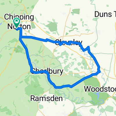
Burford route
Cycling route in Chipping Norton, England, United Kingdom
- 46 km
- Distance
- 360 m
- Ascent
- 355 m
- Descent


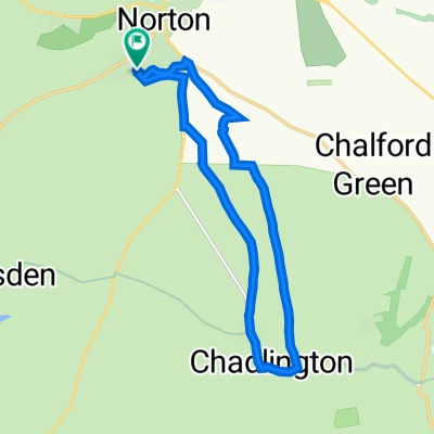
New Way of the Rings Chipping Norton to Marlborough
Cycling route in Chipping Norton, England, United Kingdom
- 93 km
- Distance
- 633 m
- Ascent
- 704 m
- Descent

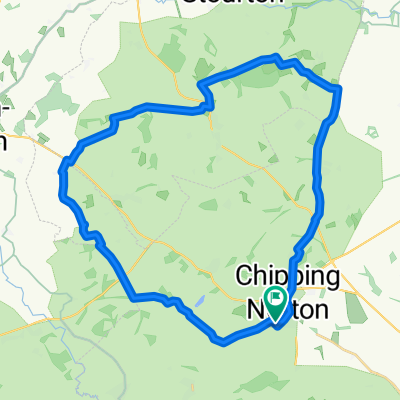
25mi chippy - sarsden - moreton-in-marsh - chippy
Cycling route in Chipping Norton, England, United Kingdom
- 39.9 km
- Distance
- 373 m
- Ascent
- 374 m
- Descent
Discover more routes
 Chilterns-Cotswolds Brevet - Leg-3
- Distance
- 72.5 km
- Ascent
- 524 m
- Descent
- 651 m
- Location
- Chipping Norton, England, United Kingdom
 Moreton in Marsh loop
- Distance
- 40.8 km
- Ascent
- 324 m
- Descent
- 320 m
- Location
- Chipping Norton, England, United Kingdom
 Chippi - Rollright Stones
- Distance
- 5.9 km
- Ascent
- 123 m
- Descent
- 117 m
- Location
- Chipping Norton, England, United Kingdom
 Chipping Norton - Moreton-in-Marsh
- Distance
- 38 km
- Ascent
- 401 m
- Descent
- 401 m
- Location
- Chipping Norton, England, United Kingdom
 Walk through Clarkson's Farm
- Distance
- 12 km
- Ascent
- 111 m
- Descent
- 108 m
- Location
- Chipping Norton, England, United Kingdom
 Rollright - Barton on the Heath
- Distance
- 31.5 km
- Ascent
- 433 m
- Descent
- 433 m
- Location
- Chipping Norton, England, United Kingdom
 Marilina's Daylesford Ride
- Distance
- 38.2 km
- Ascent
- 302 m
- Descent
- 292 m
- Location
- Chipping Norton, England, United Kingdom
 Chipping Norton - Stonesfield (Chad first)
- Distance
- 40.7 km
- Ascent
- 1,020 m
- Descent
- 1,020 m
- Location
- Chipping Norton, England, United Kingdom